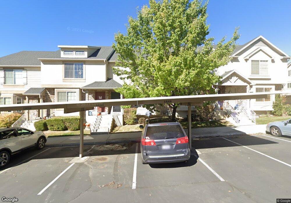
1894 W 1020 N Unit 37 Provo, UT 84604
Rivergrove NeighborhoodEstimated Value: $389,000 - $400,047
3
Beds
3
Baths
2,106
Sq Ft
$187/Sq Ft
Est. Value
About This Home
This home is located at 1894 W 1020 N Unit 37, Provo, UT 84604 and is currently estimated at $393,762, approximately $186 per square foot. 1894 W 1020 N Unit 37 is a home located in Utah County with nearby schools including Westridge Elementary School, Dixon Middle School, and Provo High School.
Ownership History
Date
Name
Owned For
Owner Type
Purchase Details
Closed on
Oct 19, 2023
Sold by
Wille Robert and Wille Carol
Bought by
Rcw Rentals Llc
Current Estimated Value
Purchase Details
Closed on
May 19, 2010
Sold by
Independence Avenue Llc
Bought by
Wille Robert and Wille Carol
Home Financials for this Owner
Home Financials are based on the most recent Mortgage that was taken out on this home.
Original Mortgage
$135,120
Interest Rate
5.21%
Mortgage Type
New Conventional
Create a Home Valuation Report for This Property
The Home Valuation Report is an in-depth analysis detailing your home's value as well as a comparison with similar homes in the area
Home Values in the Area
Average Home Value in this Area
Purchase History
| Date | Buyer | Sale Price | Title Company |
|---|---|---|---|
| Rcw Rentals Llc | -- | None Listed On Document | |
| Wille Robert | -- | First American Orem |
Source: Public Records
Mortgage History
| Date | Status | Borrower | Loan Amount |
|---|---|---|---|
| Previous Owner | Wille Robert | $135,120 |
Source: Public Records
Tax History Compared to Growth
Tax History
| Year | Tax Paid | Tax Assessment Tax Assessment Total Assessment is a certain percentage of the fair market value that is determined by local assessors to be the total taxable value of land and additions on the property. | Land | Improvement |
|---|---|---|---|---|
| 2025 | $2,089 | $201,905 | $54,000 | $313,100 |
| 2024 | $2,089 | $205,645 | $0 | $0 |
| 2023 | $2,017 | $195,745 | $0 | $0 |
| 2022 | $1,922 | $188,100 | $0 | $0 |
| 2021 | $1,507 | $257,200 | $38,600 | $218,600 |
| 2020 | $1,550 | $248,000 | $32,300 | $215,700 |
| 2019 | $1,491 | $248,000 | $32,300 | $215,700 |
| 2018 | $1,345 | $226,900 | $29,000 | $197,900 |
| 2017 | $1,214 | $112,530 | $0 | $0 |
| 2016 | $1,184 | $102,300 | $0 | $0 |
| 2015 | $1,114 | $97,350 | $0 | $0 |
| 2014 | $972 | $88,550 | $0 | $0 |
Source: Public Records
Map
Nearby Homes
- 2075 W 1080 N
- 2043 W 1100 N
- 962 Independence Ave
- 927 Independence Ave
- 1127 Independence Ave
- 932 N 1760 W
- 1893 Cascade Dr
- 1620 W 1000 N
- 2397 W 1160 N
- 1503 N 1980 W
- 582 N 2310 W
- 2216 W 480 N
- 1574 W 1400 N
- 1475 Arthur Dr Unit 7A
- 2316 W 510 N
- 1616 N 2100 W
- 1471 W 1460 N
- 392 N 2150 W
- 1682 N 2250 W
- 398 N 2380 W
- 1898 W 1020 N
- 1898 W 1020 N Unit 36
- 1888 W 1020 N
- 1888 W 1020 N Unit 38
- 1902 W 1020 N
- 1902 W 1020 N Unit 35
- 1884 W 1020 N
- 1884 W 1020 N Unit 39
- 1049 N 1880 W
- 1049 N 1880 W Unit 40
- 1908 W 1020 N Unit 34
- 1055 N 1880 W Unit 41
- 1055 N 1880 W
- 1914 W 1020 N Unit 33
- 1059 N 1880 W
- 1059 N 1880 W Unit 42
- 1913 W 1020 N Unit 31
- 1913 W 1020 N
- 1918 W 1020 N
- 1918 W 1020 N Unit 32