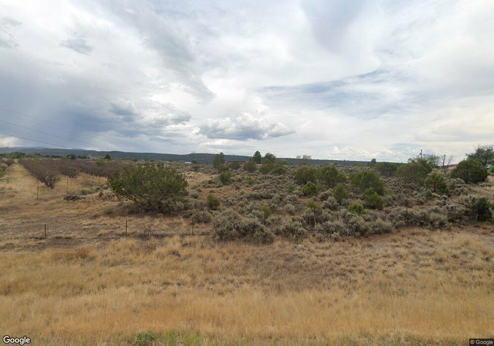
18942 Highway 65 Cedaredge, CO 81413
Estimated Value: $294,000 - $487,000
2
Beds
2
Baths
1,310
Sq Ft
$289/Sq Ft
Est. Value
About This Home
This home is located at 18942 Highway 65, Cedaredge, CO 81413 and is currently estimated at $378,595, approximately $289 per square foot. 18942 Highway 65 is a home located in Delta County with nearby schools including Cedaredge Elementary School, Cedaredge Middle School, and Cedaredge High School.
Ownership History
Date
Name
Owned For
Owner Type
Purchase Details
Closed on
Sep 20, 2021
Sold by
Cole Alondra and Estate Of Harry Delmar Cole
Bought by
Cole Alondra
Current Estimated Value
Home Financials for this Owner
Home Financials are based on the most recent Mortgage that was taken out on this home.
Original Mortgage
$543,000
Outstanding Balance
$488,610
Interest Rate
2.08%
Mortgage Type
FHA
Estimated Equity
-$110,015
Purchase Details
Closed on
Nov 6, 1994
Sold by
Miller
Bought by
Cole
Purchase Details
Closed on
Jan 2, 1989
Sold by
Lindley
Bought by
Miller
Create a Home Valuation Report for This Property
The Home Valuation Report is an in-depth analysis detailing your home's value as well as a comparison with similar homes in the area
Home Values in the Area
Average Home Value in this Area
Purchase History
| Date | Buyer | Sale Price | Title Company |
|---|---|---|---|
| Cole Alondra | -- | Heritage Title Co | |
| Cole | $23,000 | -- | |
| Miller | $10,500 | -- |
Source: Public Records
Mortgage History
| Date | Status | Borrower | Loan Amount |
|---|---|---|---|
| Open | Cole Alondra | $543,000 |
Source: Public Records
Tax History Compared to Growth
Tax History
| Year | Tax Paid | Tax Assessment Tax Assessment Total Assessment is a certain percentage of the fair market value that is determined by local assessors to be the total taxable value of land and additions on the property. | Land | Improvement |
|---|---|---|---|---|
| 2024 | $490 | $14,624 | $5,619 | $9,005 |
| 2023 | $490 | $14,624 | $5,619 | $9,005 |
| 2022 | $388 | $12,908 | $4,240 | $8,668 |
| 2021 | $389 | $13,280 | $4,362 | $8,918 |
| 2020 | $331 | $11,139 | $3,933 | $7,206 |
| 2019 | $332 | $11,139 | $3,933 | $7,206 |
| 2018 | $293 | $9,466 | $3,600 | $5,866 |
| 2017 | $293 | $9,466 | $3,600 | $5,866 |
| 2016 | $289 | $10,240 | $5,333 | $4,907 |
| 2014 | -- | $10,016 | $5,731 | $4,285 |
Source: Public Records
Map
Nearby Homes
- 18865 Northridge Rd
- Unit 13 W Elk Dr
- TBD SE 3rd Lot 5 Will-O-way Subdivision St
- 23041 T Rd
- 23045 T Rd
- 19102 Surface Creek Rd
- 1567 N Grand Mesa Dr
- 520 NE Ginters Grove Ln
- 24500 Timothy Rd
- 18200 Surface Creek Rd
- 24593 Timothy Rd
- 17969 Surface Creek Rd
- 377 NE Indian Camp Ave
- 20246 2375 Rd
- 800 NE 2nd St
- 18076 Hanson Rd
- 635 NE 2nd St
- 565 N Grand Mesa Dr
- 22876 Thunder Mountain Ln
- 480 NW Cedar Ave
- 18878 Highway 65
- 18923 Highway 65
- 19169 2375 Rd
- 23797 Tabor Rd
- 18850 Highway 65
- 18887 2375 Rd
- 18898 Northridge Rd
- 23485 Ridge Rd
- 23886 Tabor Rd
- 0 NW Fir Ave
- 18854 Highway 65
- Lot 1 2225 Rd
- 18888 2375 Rd
- 18897 Northridge Rd
- 19186 2375 Rd
- 18832 2375 Rd
- 19095 Highway 65
- 19008 2325 Rd
- 19004 2325 Rd
- 18628 Eastridge Rd
