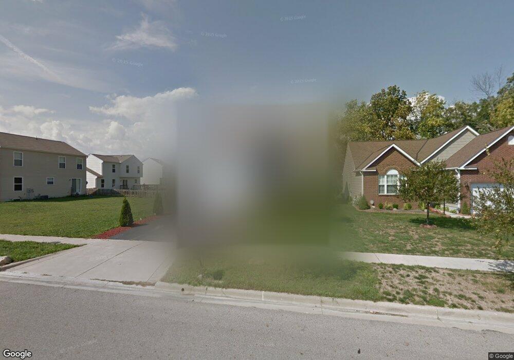
1895 Bay Port Dr Grove City, OH 43123
Estimated Value: $304,000 - $350,000
3
Beds
3
Baths
1,876
Sq Ft
$179/Sq Ft
Est. Value
About This Home
This home is located at 1895 Bay Port Dr, Grove City, OH 43123 and is currently estimated at $335,139, approximately $178 per square foot. 1895 Bay Port Dr is a home located in Franklin County with nearby schools including Georgian Heights Alt Elementary School, Wedgewood Middle School, and Briggs High School.
Ownership History
Date
Name
Owned For
Owner Type
Purchase Details
Closed on
Aug 17, 2010
Sold by
Secretary Of Housing & Urban Development
Bought by
Popp Melinda S
Current Estimated Value
Home Financials for this Owner
Home Financials are based on the most recent Mortgage that was taken out on this home.
Original Mortgage
$96,626
Outstanding Balance
$63,750
Interest Rate
4.5%
Mortgage Type
FHA
Estimated Equity
$271,389
Purchase Details
Closed on
May 17, 2010
Sold by
Citimortgage Inc
Bought by
Secretary Of Housing & Urban Development
Purchase Details
Closed on
Apr 22, 2010
Sold by
Haynes Sally A and Case #09Cve05 7330
Bought by
Citimortgage Inc
Purchase Details
Closed on
Jul 14, 2006
Sold by
Rockford Homes Inc
Bought by
Haynes Sally A
Home Financials for this Owner
Home Financials are based on the most recent Mortgage that was taken out on this home.
Original Mortgage
$188,212
Interest Rate
6.73%
Mortgage Type
FHA
Create a Home Valuation Report for This Property
The Home Valuation Report is an in-depth analysis detailing your home's value as well as a comparison with similar homes in the area
Home Values in the Area
Average Home Value in this Area
Purchase History
| Date | Buyer | Sale Price | Title Company |
|---|---|---|---|
| Popp Melinda S | $93,500 | Lakeside Ti | |
| Secretary Of Housing & Urban Development | -- | Preferred T | |
| Citimortgage Inc | $108,000 | None Available | |
| Haynes Sally A | $189,700 | Title First |
Source: Public Records
Mortgage History
| Date | Status | Borrower | Loan Amount |
|---|---|---|---|
| Open | Popp Melinda S | $96,626 | |
| Previous Owner | Haynes Sally A | $188,212 |
Source: Public Records
Tax History Compared to Growth
Tax History
| Year | Tax Paid | Tax Assessment Tax Assessment Total Assessment is a certain percentage of the fair market value that is determined by local assessors to be the total taxable value of land and additions on the property. | Land | Improvement |
|---|---|---|---|---|
| 2024 | $4,746 | $105,740 | $26,080 | $79,660 |
| 2023 | $4,685 | $105,735 | $26,075 | $79,660 |
| 2022 | $3,496 | $67,410 | $8,400 | $59,010 |
| 2021 | $3,502 | $67,410 | $8,400 | $59,010 |
| 2020 | $3,507 | $67,410 | $8,400 | $59,010 |
| 2019 | $3,363 | $55,440 | $7,000 | $48,440 |
| 2018 | $3,148 | $55,440 | $7,000 | $48,440 |
| 2017 | $3,300 | $55,440 | $7,000 | $48,440 |
| 2016 | $3,239 | $48,900 | $7,180 | $41,720 |
| 2015 | $2,941 | $48,900 | $7,180 | $41,720 |
| 2014 | $2,948 | $48,900 | $7,180 | $41,720 |
| 2013 | $1,615 | $54,320 | $7,980 | $46,340 |
Source: Public Records
Map
Nearby Homes
- 3692 Fountain Cove Ln
- 3711 Fountain Cove Ln
- 3567 Alkire Rd
- 3819 Alkire Rd
- 3491 Cove Lake Ln
- 3571 Rockledge Dr
- 3728 Miltonsburg Dr
- 2155 Pentress Dr
- 3883 Rosette Dr
- 2188 Dry Ridge Ct
- 2157 Hierarch Ct
- 3339 Joes Way
- 3434 Royal Hill Dr
- 1668 Kildare Place
- 3723 Klibreck Dr
- 1751 Carrigallen Ln
- 1657 Ripplebrook Rd
- 2930 Alkire Rd
- 3997 Caysee Jay Way
- 3246 Bluhm Ct
- 1889 Bay Port Dr
- 3686 Fountain Cove Ln
- 3698 Fountain Cove Ln
- 1877 Bay Port Dr
- 1894 Bay Port Dr
- 1906 Bay Port Dr
- 1888 Bay Port Dr
- 1871 Bay Port Dr
- 1912 Bay Port Dr
- 1882 Bay Port Dr
- 1918 Bay Port Dr
- 1865 Bay Port Dr
- 1876 Bay Port Dr
- 3693 Fountain Cove Ln
- 3687 Fountain Cove Ln
- 1924 Bay Port Dr Unit 15
- 1870 Bay Port Dr
- 1870 Bay Port Dr Unit 6
- 1859 Bay Port Dr
- 3705 Fountain Cove Ln