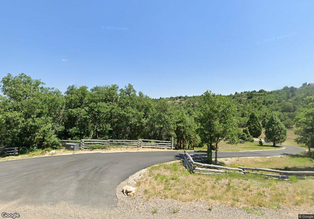
Estimated Value: $728,000 - $818,164
--
Bed
--
Bath
2,522
Sq Ft
$303/Sq Ft
Est. Value
About This Home
This home is located at 1895 W Manitoban Trail, Kanab, UT 84741 and is currently estimated at $763,055, approximately $302 per square foot. 1895 W Manitoban Trail is a home with nearby schools including Valley Elementary School and Valley High School.
Ownership History
Date
Name
Owned For
Owner Type
Purchase Details
Closed on
Sep 21, 2022
Bought by
Sedminik Gregory C and Chieco-Sedminik Theresa R
Current Estimated Value
Purchase Details
Closed on
Jul 6, 2007
Sold by
Jones Richard S
Bought by
Jones Richard S
Purchase Details
Closed on
Mar 21, 2005
Sold by
Jacobs Mark
Bought by
Jones Richard S and Richard S Jones Pension & Profit Sharing
Home Financials for this Owner
Home Financials are based on the most recent Mortgage that was taken out on this home.
Original Mortgage
$40,000
Interest Rate
5.61%
Create a Home Valuation Report for This Property
The Home Valuation Report is an in-depth analysis detailing your home's value as well as a comparison with similar homes in the area
Home Values in the Area
Average Home Value in this Area
Purchase History
| Date | Buyer | Sale Price | Title Company |
|---|---|---|---|
| Sedminik Gregory C | -- | -- | |
| Jones Richard S | -- | -- | |
| Jones Richard S | -- | -- |
Source: Public Records
Mortgage History
| Date | Status | Borrower | Loan Amount |
|---|---|---|---|
| Previous Owner | Jones Richard S | $40,000 |
Source: Public Records
Tax History Compared to Growth
Tax History
| Year | Tax Paid | Tax Assessment Tax Assessment Total Assessment is a certain percentage of the fair market value that is determined by local assessors to be the total taxable value of land and additions on the property. | Land | Improvement |
|---|---|---|---|---|
| 2025 | $2,866 | $394,624 | $116,239 | $278,385 |
| 2024 | $2,866 | $399,567 | $115,728 | $283,839 |
| 2023 | $2,467 | $365,190 | $107,155 | $258,035 |
| 2022 | $2,212 | $286,364 | $96,596 | $189,768 |
| 2021 | $2,227 | $439,967 | $94,935 | $345,032 |
| 2020 | $1,825 | $358,249 | $79,112 | $279,137 |
| 2019 | $3,197 | $335,654 | $79,112 | $256,542 |
| 2018 | $3,275 | $340,717 | $98,890 | $241,827 |
| 2017 | $1,643 | $287,812 | $70,465 | $217,347 |
| 2016 | $1,689 | $287,812 | $70,465 | $217,347 |
| 2015 | $1,512 | $287,812 | $70,465 | $217,347 |
| 2014 | $1,512 | $255,940 | $70,465 | $185,475 |
| 2013 | -- | $153,984 | $0 | $0 |
Source: Public Records
Map
Nearby Homes
- 3160 N Wapiti Dr
- 3280 N Tule Cir
- 3540 Wapiti
- 1500 W Red Deer Trail
- 3870 Wapiti Dr
- 3870 Wapiti
- 3745 Wapiti
- 3775 Wapiti
- 3815 Wapiti
- 2820 Dead Horse Cir
- 2755 N Dead Horse Loop
- 2814 N Dead Horse Loop
- 2770 N Dead Horse Lp
- 2770 N Dead Horse Loop
- 2498 W Silverado Ridge
- 14 N Royal Dr
- 2595 W W Canyon View Dr
- 42 Elk Meadows
- 4175 Royal
- 0 Lutherwood Rd and Fox Trail Unit 2808492
- 1925 Manitoban Trail
- 1925 W Manitoban Trl Er 3-33
- 1875 W Manitoban
- 1920 W Manitoban Trail
- 57 Acres Kane County
- 1845 W Manitoban Trail
- 1975 W Manitoban Trail
- 1875 W Manitoban Trail
- 1850 W Manitoban Trl Er 3-36
- 1980 Manitoban Trail
- 3160 N Wapiti Dr Unit 3
- 3160 N Wapiti Dr Unit 54
- 2050 W Manitoban Trail
- 3330 Wapiti Dr
- 3330 N Wapiti Dr
- 0 Manitoban Trail
- 1925 Manitoban Trail
- 3370 N Wapiti Dr
- 2080 W Manitoban Trail
- 3275 N Tule Cir
