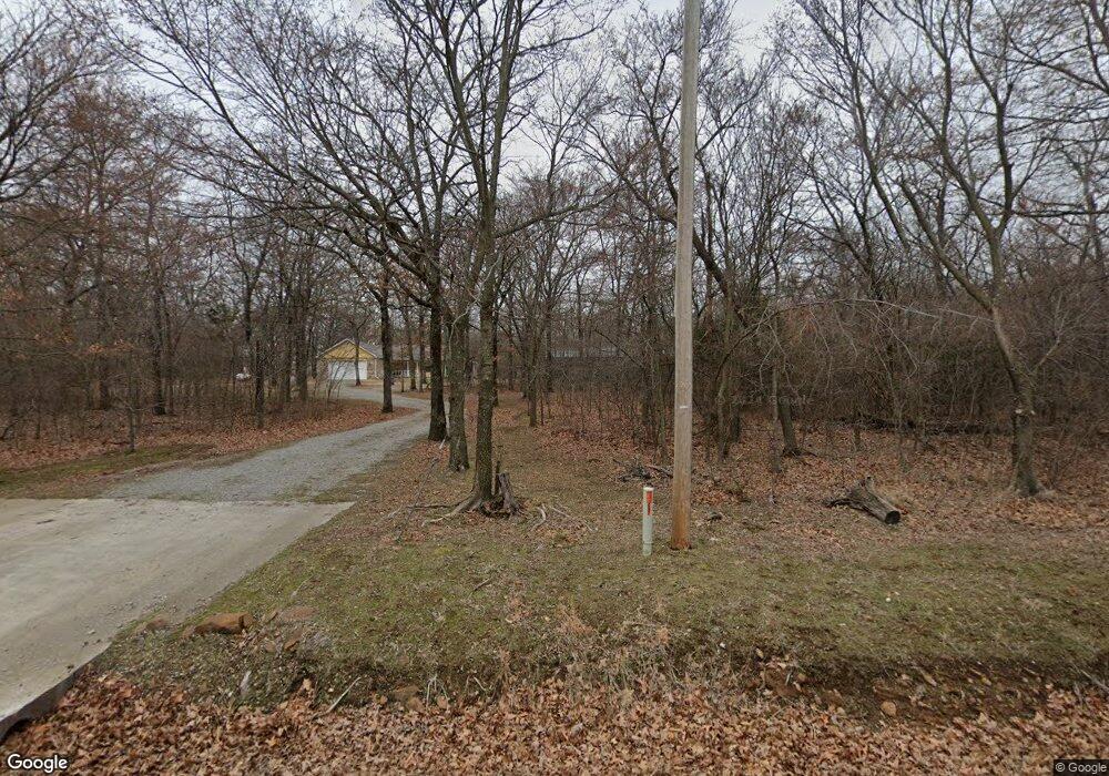
18950 S 4210 Rd Claremore, OK 74017
Estimated Value: $338,000 - $420,000
4
Beds
2
Baths
2,178
Sq Ft
$169/Sq Ft
Est. Value
About This Home
This home is located at 18950 S 4210 Rd, Claremore, OK 74017 and is currently estimated at $367,312, approximately $168 per square foot. 18950 S 4210 Rd is a home with nearby schools including Sequoyah Elementary School and Sequoyah High School.
Ownership History
Date
Name
Owned For
Owner Type
Purchase Details
Closed on
Oct 18, 2018
Sold by
Brown Robert Michael
Bought by
Brown Robert Michael and Revocable Int Tr Of Robert Mic
Current Estimated Value
Purchase Details
Closed on
Nov 25, 2009
Sold by
Robert M Brown and Helvecia Brow Mariane A
Bought by
Brown Robert M
Home Financials for this Owner
Home Financials are based on the most recent Mortgage that was taken out on this home.
Original Mortgage
$63,400
Interest Rate
4.99%
Mortgage Type
New Conventional
Purchase Details
Closed on
Jul 13, 2007
Sold by
Brown Robert M and Brown Marianela Helvecia
Bought by
Robert M Brown and Robert Marianela Helvecia
Purchase Details
Closed on
May 29, 1998
Sold by
Anderson Ronald C and Anderson Lori L
Bought by
Brown Robert M
Purchase Details
Closed on
Jul 18, 1994
Sold by
Martin Mike
Create a Home Valuation Report for This Property
The Home Valuation Report is an in-depth analysis detailing your home's value as well as a comparison with similar homes in the area
Home Values in the Area
Average Home Value in this Area
Purchase History
| Date | Buyer | Sale Price | Title Company |
|---|---|---|---|
| Brown Robert Michael | -- | None Available | |
| Brown Robert M | -- | Nations Title Of Okc | |
| Robert M Brown | -- | None Available | |
| Brown Robert M | $135,000 | -- | |
| -- | $95,000 | -- |
Source: Public Records
Mortgage History
| Date | Status | Borrower | Loan Amount |
|---|---|---|---|
| Closed | Brown Robert M | $63,400 |
Source: Public Records
Tax History Compared to Growth
Tax History
| Year | Tax Paid | Tax Assessment Tax Assessment Total Assessment is a certain percentage of the fair market value that is determined by local assessors to be the total taxable value of land and additions on the property. | Land | Improvement |
|---|---|---|---|---|
| 2025 | $441 | $27,538 | $4,713 | $22,825 |
| 2024 | $441 | $27,538 | $5,431 | $22,107 |
| 2023 | $441 | $27,538 | $4,379 | $23,159 |
| 2022 | $2,790 | $26,736 | $4,275 | $22,461 |
| 2021 | $2,616 | $26,735 | $4,599 | $22,136 |
| 2020 | $2,531 | $25,957 | $4,019 | $21,938 |
| 2019 | $2,420 | $24,468 | $3,493 | $20,975 |
| 2018 | $2,484 | $25,075 | $3,493 | $21,582 |
| 2017 | $2,376 | $24,115 | $3,464 | $20,651 |
| 2016 | $2,084 | $21,339 | $3,363 | $17,976 |
| 2015 | $2,016 | $20,718 | $3,266 | $17,452 |
| 2014 | $1,964 | $20,114 | $3,100 | $17,014 |
Source: Public Records
Map
Nearby Homes
- 0 S 4197 Rd
- 009 E 480 Rd
- 008 E 480 Rd
- 007 E 480 Rd
- 17065 Honeysuckle Ln
- 16053 E Pueblo Rd
- 18402 E 480 Rd
- 25 E 470 Rd
- 17330 S 4210 Rd
- 19075 E Timber Trail
- 19300 S Timber Acres
- 09 S 4200 Rd
- 03 S 4200 Rd
- 04 S 4200 Rd
- 05 S 4200 Rd
- 18870 Timberlake
- 06 S 4200 Rd
- 19112 E 480 Rd Unit b
- 19112 E 480 Rd Unit B
- 19771 S Wind Ridge Dr
- 17401 E 470 Rd
- 17387 E 470 Rd
- 18900 S 4210 Rd
- 18985 S 4210 Rd
- 17333 E 470 Rd
- 17474 E 470 Rd
- 17412 E 470 Rd
- 18820 S 4210 Rd
- 17283 E 470 Rd
- 17277 E 470 Rd
- 18885 S 4200 Rd
- 17137 E 470 Rd
- 18770 S 4210 Rd
- 18715 S 4200 Rd
- 19404 Mountain Ln
- 17029 E 470 Rd
- 17042 E 470 Rd
- 18907 S 4200 Rd
- 19412 Mountain Ln
- 19415 Mountain Ln