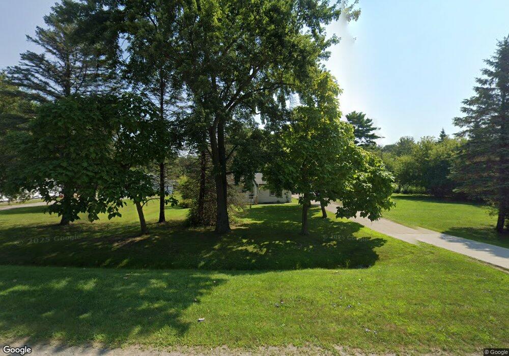
1896 Range Rd Port Huron, MI 48060
Estimated Value: $108,000 - $192,904
2
Beds
1
Bath
1,253
Sq Ft
$122/Sq Ft
Est. Value
About This Home
This home is located at 1896 Range Rd, Port Huron, MI 48060 and is currently estimated at $152,976, approximately $122 per square foot. 1896 Range Rd is a home located in St. Clair County with nearby schools including Kimball Elementary School, Central Middle School, and Port Huron High School.
Ownership History
Date
Name
Owned For
Owner Type
Purchase Details
Closed on
Sep 22, 2021
Sold by
Osterman John
Bought by
Kaltner Deanna
Current Estimated Value
Purchase Details
Closed on
Sep 1, 2021
Sold by
Osterman John
Bought by
Kaltner Deanna
Purchase Details
Closed on
Jul 2, 2018
Sold by
Vera J Watson Revocable Trust
Bought by
Hammar Tim R
Purchase Details
Closed on
Sep 14, 2007
Sold by
Bachholzky Lynnette J
Bought by
Deaner Ryan J and Deaner Megan E
Purchase Details
Closed on
Nov 11, 2005
Sold by
Kearns Stephen Jon
Bought by
Kearns Stephen Jon and Stephen Jon Kearns Revocable Trust
Purchase Details
Closed on
Feb 19, 2001
Sold by
Watson Vera J and Watson Kenneth A
Bought by
Watson Trust
Create a Home Valuation Report for This Property
The Home Valuation Report is an in-depth analysis detailing your home's value as well as a comparison with similar homes in the area
Home Values in the Area
Average Home Value in this Area
Purchase History
| Date | Buyer | Sale Price | Title Company |
|---|---|---|---|
| Kaltner Deanna | -- | None Listed On Document | |
| Kaltner Deanna | -- | None Listed On Document | |
| Kaltner Deanna | -- | None Available | |
| Hammar Tim R | $57,000 | Huron Title | |
| Deaner Ryan J | -- | None Available | |
| Kearns Stephen Jon | -- | None Available | |
| Watson Trust | -- | None Available |
Source: Public Records
Mortgage History
| Date | Status | Borrower | Loan Amount |
|---|---|---|---|
| Closed | Kaltner Deanna | $0 |
Source: Public Records
Tax History Compared to Growth
Tax History
| Year | Tax Paid | Tax Assessment Tax Assessment Total Assessment is a certain percentage of the fair market value that is determined by local assessors to be the total taxable value of land and additions on the property. | Land | Improvement |
|---|---|---|---|---|
| 2025 | $2,604 | $81,600 | $0 | $0 |
| 2024 | $1,581 | $63,400 | $0 | $0 |
| 2023 | $1,482 | $59,800 | $0 | $0 |
| 2022 | $2,129 | $55,500 | $0 | $0 |
| 2021 | $2,151 | $53,100 | $0 | $0 |
| 2020 | $2,151 | $47,000 | $47,000 | $0 |
| 2019 | $1,991 | $45,700 | $0 | $0 |
| 2018 | $1,092 | $45,700 | $0 | $0 |
| 2016 | $519 | $36,400 | $0 | $0 |
| 2015 | -- | $38,700 | $38,700 | $0 |
| 2014 | -- | $36,500 | $36,500 | $0 |
| 2013 | -- | $36,200 | $0 | $0 |
Source: Public Records
Map
Nearby Homes
- 4595 Griswold Rd
- 4632 Cloverdale Ln
- 0000 Range Rd
- 1405 Range Rd
- 00 Range Rd
- 0 Wall Rd Unit 50185999
- 00 Howard Rd
- 1979 Allen Rd
- V/L Allen
- 1701 Allen Rd
- 1604 Allen Rd
- V/L Partridge Rd
- 4380 Lapeer Rd
- 0 Allen Rd Unit 20250008597
- 0 Allen Rd Unit 20250008612
- 174 Meadow Ln
- 104 Oldbrook Ln
- 0 Lapeer Rd Unit 50137357
- 153 Meadow Ln
- 0000 Wisconsin Ave