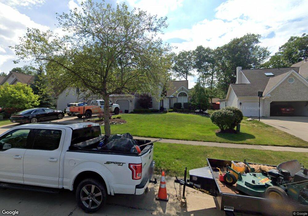
18964 Bears Paw Ln Strongsville, OH 44136
Estimated Value: $443,389 - $502,000
3
Beds
3
Baths
2,708
Sq Ft
$172/Sq Ft
Est. Value
About This Home
This home is located at 18964 Bears Paw Ln, Strongsville, OH 44136 and is currently estimated at $467,097, approximately $172 per square foot. 18964 Bears Paw Ln is a home located in Cuyahoga County with nearby schools including Strongsville High School and Saint Ambrose Catholic School.
Ownership History
Date
Name
Owned For
Owner Type
Purchase Details
Closed on
Jan 21, 2025
Sold by
Medrick Sharon M
Bought by
Medrick Paul M
Current Estimated Value
Purchase Details
Closed on
May 17, 2001
Sold by
Skala Richard C
Bought by
Medrick Paul M and Medrick Sharon M
Home Financials for this Owner
Home Financials are based on the most recent Mortgage that was taken out on this home.
Original Mortgage
$204,050
Interest Rate
7.02%
Purchase Details
Closed on
Feb 24, 1994
Sold by
Skala Richard C
Bought by
Skala Richard C
Purchase Details
Closed on
Jan 14, 1994
Sold by
Latina Bldr
Bought by
Skala Richard C
Purchase Details
Closed on
Jan 1, 1990
Bought by
Latina and Latina Bldr
Create a Home Valuation Report for This Property
The Home Valuation Report is an in-depth analysis detailing your home's value as well as a comparison with similar homes in the area
Home Values in the Area
Average Home Value in this Area
Purchase History
| Date | Buyer | Sale Price | Title Company |
|---|---|---|---|
| Medrick Paul M | -- | None Listed On Document | |
| Medrick Paul M | $255,000 | Premier Title Agency Inc | |
| Skala Richard C | -- | -- | |
| Skala Richard C | $225,200 | -- | |
| Latina | -- | -- |
Source: Public Records
Mortgage History
| Date | Status | Borrower | Loan Amount |
|---|---|---|---|
| Previous Owner | Medrick Paul M | $204,050 |
Source: Public Records
Tax History Compared to Growth
Tax History
| Year | Tax Paid | Tax Assessment Tax Assessment Total Assessment is a certain percentage of the fair market value that is determined by local assessors to be the total taxable value of land and additions on the property. | Land | Improvement |
|---|---|---|---|---|
| 2024 | $6,641 | $141,435 | $27,755 | $113,680 |
| 2023 | $6,761 | $107,980 | $23,170 | $84,810 |
| 2022 | $6,712 | $107,975 | $23,170 | $84,805 |
| 2021 | $6,659 | $107,980 | $23,170 | $84,810 |
| 2020 | $6,844 | $98,180 | $21,070 | $77,110 |
| 2019 | $6,643 | $280,500 | $60,200 | $220,300 |
| 2018 | $5,791 | $98,180 | $21,070 | $77,110 |
| 2017 | $5,888 | $88,760 | $16,240 | $72,520 |
| 2016 | $5,610 | $85,260 | $16,240 | $69,020 |
| 2015 | $5,689 | $85,260 | $16,240 | $69,020 |
| 2014 | $5,689 | $85,260 | $16,240 | $69,020 |
Source: Public Records
Map
Nearby Homes
- 16711 Beech Cir
- 16486 S Red Rock Dr
- 18229 Howe Rd
- 17745 Brick Mill Run
- 17130 Golden Star Dr
- 15772 Boston Rd
- 19364 Ridgeline Ct
- 15604-REAR Boston Rd
- 19694 Benbow Rd
- 97 Weathervane Ln
- 19740 Benbow Rd
- 17159 Turkey Meadow Ln
- 14985 Camden Cir
- 17682 Drake Rd
- 15188 Trails Landing
- 18411 Yorktown Oval
- 18987 Laurell Cir
- 17934 Cambridge Oval
- 159 Sunflower Dr
- 16650 Lanier Ave
- 19006 Bears Paw Ln
- 18922 Bears Paw Ln
- 16638 Aspen Cir
- 16631 Aspen Cir
- 19048 Bears Paw Ln
- 16527 Falmouth Dr
- 16575 Falmouth Dr
- 18947 Bears Paw Ln
- 16663 Aspen Cir
- 16670 Aspen Cir
- 18905 Bears Paw Ln
- 19090 Bears Paw Ln
- 18989 Bears Paw Ln
- 16633 Falmouth Dr
- 18863 Bears Paw Ln
- 19031 Bears Paw Ln
- 16664 Beech Cir
- 16632 Beech Cir
- 16669 Falmouth Dr
- 16702 Aspen Cir