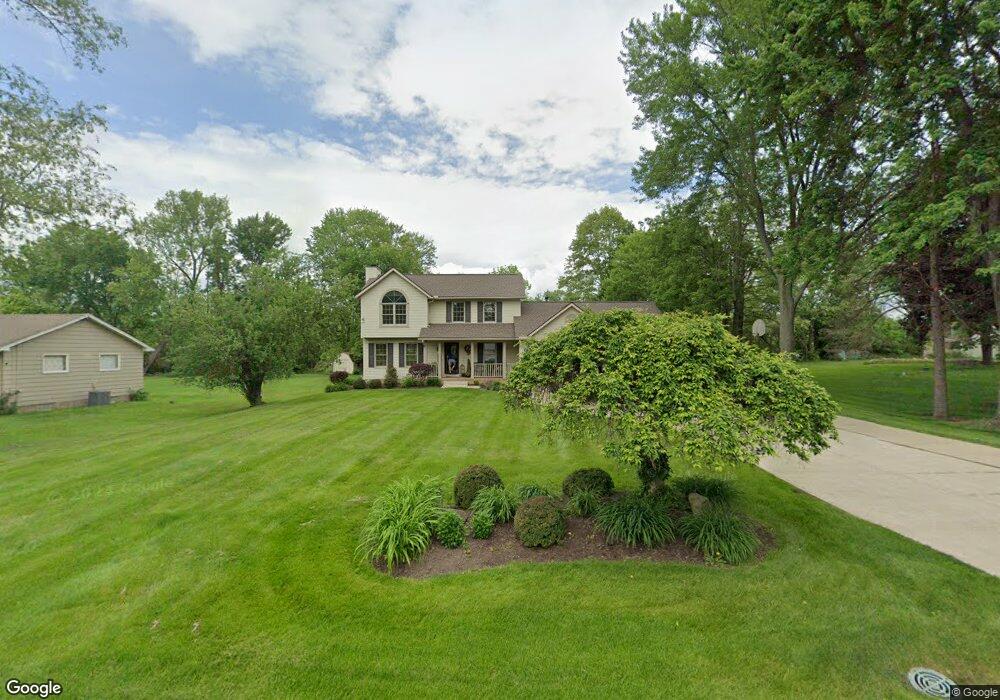
1897 Connect Rd Norton, OH 44203
North Barberton NeighborhoodEstimated Value: $290,000 - $346,000
3
Beds
3
Baths
2,076
Sq Ft
$148/Sq Ft
Est. Value
About This Home
This home is located at 1897 Connect Rd, Norton, OH 44203 and is currently estimated at $307,930, approximately $148 per square foot. 1897 Connect Rd is a home located in Summit County with nearby schools including Barberton Middle School, Barberton Intermediate School 3-5, and Barberton High School.
Ownership History
Date
Name
Owned For
Owner Type
Purchase Details
Closed on
May 5, 2005
Sold by
Zimmerman Michael A and Zimmerman Mindy
Bought by
Wiley Timothy A and Wiley Tiffany J
Current Estimated Value
Home Financials for this Owner
Home Financials are based on the most recent Mortgage that was taken out on this home.
Original Mortgage
$154,100
Outstanding Balance
$81,430
Interest Rate
6.05%
Mortgage Type
Fannie Mae Freddie Mac
Estimated Equity
$226,500
Purchase Details
Closed on
Feb 10, 1995
Sold by
Bruno A Thomas
Bought by
Zimmerman Michael A
Create a Home Valuation Report for This Property
The Home Valuation Report is an in-depth analysis detailing your home's value as well as a comparison with similar homes in the area
Home Values in the Area
Average Home Value in this Area
Purchase History
| Date | Buyer | Sale Price | Title Company |
|---|---|---|---|
| Wiley Timothy A | $192,705 | Chicago Title Insurance Comp | |
| Zimmerman Michael A | $5,000 | -- |
Source: Public Records
Mortgage History
| Date | Status | Borrower | Loan Amount |
|---|---|---|---|
| Open | Wiley Timothy A | $154,100 | |
| Closed | Wiley Timothy A | $28,800 |
Source: Public Records
Tax History
| Year | Tax Paid | Tax Assessment Tax Assessment Total Assessment is a certain percentage of the fair market value that is determined by local assessors to be the total taxable value of land and additions on the property. | Land | Improvement |
|---|---|---|---|---|
| 2025 | $4,549 | $83,948 | $15,701 | $68,247 |
| 2024 | $4,549 | $83,948 | $15,701 | $68,247 |
| 2023 | $4,549 | $83,948 | $15,701 | $68,247 |
| 2022 | $3,430 | $54,159 | $10,066 | $44,093 |
| 2021 | $3,430 | $54,159 | $10,066 | $44,093 |
| 2020 | $3,235 | $54,160 | $10,070 | $44,090 |
| 2019 | $4,211 | $63,390 | $9,340 | $54,050 |
| 2018 | $4,150 | $63,390 | $9,340 | $54,050 |
| 2017 | $4,078 | $63,390 | $9,340 | $54,050 |
| 2016 | $4,086 | $61,160 | $9,340 | $51,820 |
| 2015 | $4,078 | $61,160 | $9,340 | $51,820 |
| 2014 | $4,058 | $61,160 | $9,340 | $51,820 |
| 2013 | $3,921 | $61,170 | $9,340 | $51,830 |
Source: Public Records
Map
Nearby Homes
- 1974 Newton Ave
- 266 Hazelwood Ave
- 174 Yonker St
- 2025 Mcgowan Rd
- 197 W State St Unit 182
- 26 W Hiram St
- 162 Mitchell St
- 0 Romig Ave
- 76 Hazelwood Ave
- 52 Norwood St
- 1146 Wooster Rd N
- 217 W Summit St
- 172 & 173 Belcher Ave
- 345 Morgan St
- 0 Wooster Rd N
- 553 Princeton Ave
- 613 Wooster Rd N
- 485 Lloyd St
- 1315 Kohler Ave
- 491 Taft Ave
- 1907 Connect Rd
- 1877 Connect Rd
- 1917 Connect Rd
- 1896 Connect Rd
- 1906 Connect Rd
- 1927 Connect Rd
- 1888 Connect Rd
- 4270 Summit Rd
- 4278 Summit Rd
- 1914 Connect Rd
- 4292 Summit Rd
- 1922 Connect Rd
- 4306 Summit Rd
- 1937 Connect Rd
- 0 Summit Rd Unit 9081931
- 0 Summit Rd Unit 9081929
- 0 Summit Rd Unit 9081927
- 0 Summit Rd Unit 9081932
- 0 Summit Rd Unit 9056412
- 0 Summit Rd Unit 9000161
Your Personal Tour Guide
Ask me questions while you tour the home.