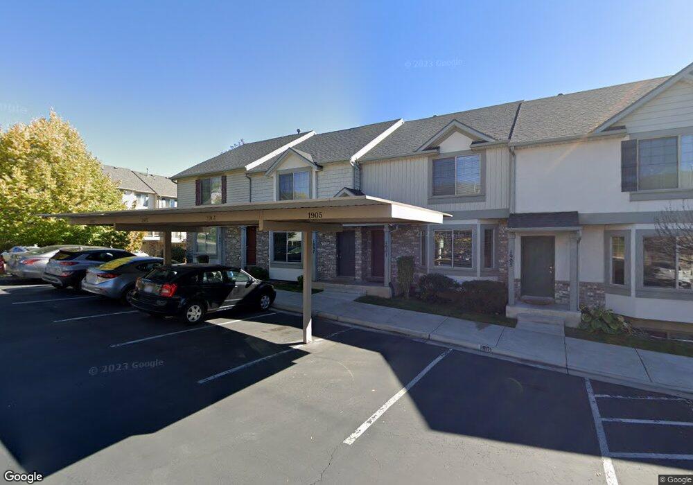
1897 W 960 N Provo, UT 84604
Rivergrove NeighborhoodEstimated Value: $400,000 - $468,000
4
Beds
4
Baths
2,140
Sq Ft
$199/Sq Ft
Est. Value
About This Home
This home is located at 1897 W 960 N, Provo, UT 84604 and is currently estimated at $425,804, approximately $198 per square foot. 1897 W 960 N is a home located in Utah County with nearby schools including Westridge Elementary School, Dixon Middle School, and Provo High School.
Ownership History
Date
Name
Owned For
Owner Type
Purchase Details
Closed on
Apr 15, 2024
Sold by
Maple Leaf Trust and Payne Ridge F
Bought by
Bravo Cristian and Pereira Jeffrey
Current Estimated Value
Home Financials for this Owner
Home Financials are based on the most recent Mortgage that was taken out on this home.
Original Mortgage
$386,650
Outstanding Balance
$380,873
Interest Rate
6.88%
Mortgage Type
New Conventional
Estimated Equity
$44,931
Purchase Details
Closed on
Oct 5, 2021
Sold by
Payne Ridge Francis
Bought by
Payne Ridge F and Maple Leaf Trust
Purchase Details
Closed on
Feb 18, 2021
Sold by
Maher Michael W and Maher Paulyne D
Bought by
Payne Ridge Francis
Home Financials for this Owner
Home Financials are based on the most recent Mortgage that was taken out on this home.
Original Mortgage
$203,000
Interest Rate
2.7%
Mortgage Type
New Conventional
Purchase Details
Closed on
Dec 28, 2017
Sold by
Maher Michael William and Maher Paulyne Denise
Bought by
Michael And Paulyne Maher Family Trust
Purchase Details
Closed on
Aug 17, 2017
Sold by
Maher Michael W and Maher Paulyne D
Bought by
Maher Michael William and Maher Paulyne Denise
Home Financials for this Owner
Home Financials are based on the most recent Mortgage that was taken out on this home.
Original Mortgage
$165,600
Interest Rate
3.96%
Purchase Details
Closed on
Aug 15, 2017
Sold by
Maher Adam F
Bought by
Maher Michael W and Maher Paylyne D
Home Financials for this Owner
Home Financials are based on the most recent Mortgage that was taken out on this home.
Original Mortgage
$165,600
Interest Rate
3.96%
Purchase Details
Closed on
Aug 5, 2010
Sold by
Maher Adam and Maher Michael W
Bought by
Maher Adam F and Maher Michael W
Home Financials for this Owner
Home Financials are based on the most recent Mortgage that was taken out on this home.
Original Mortgage
$182,714
Interest Rate
4.87%
Mortgage Type
FHA
Purchase Details
Closed on
Jul 1, 2008
Sold by
Independence Avenue Llc
Bought by
Maher Adam and Maher Michael W
Home Financials for this Owner
Home Financials are based on the most recent Mortgage that was taken out on this home.
Original Mortgage
$182,700
Interest Rate
6%
Create a Home Valuation Report for This Property
The Home Valuation Report is an in-depth analysis detailing your home's value as well as a comparison with similar homes in the area
Home Values in the Area
Average Home Value in this Area
Purchase History
| Date | Buyer | Sale Price | Title Company |
|---|---|---|---|
| Bravo Cristian | -- | Metro National Title | |
| Payne Ridge F | -- | None Available | |
| Payne Ridge Francis | -- | Eagle Gate Title Ins Agency | |
| Michael And Paulyne Maher Family Trust | -- | None Available | |
| Maher Michael William | -- | Provo Land Title Co | |
| Maher Michael W | -- | Provo Land Title Co | |
| Maher Adam F | -- | Provo Land Title Company | |
| Maher Adam | -- | First American Orem |
Source: Public Records
Mortgage History
| Date | Status | Borrower | Loan Amount |
|---|---|---|---|
| Open | Bravo Cristian | $386,650 | |
| Previous Owner | Payne Ridge Francis | $203,000 | |
| Previous Owner | Maher Michael William | $165,600 | |
| Previous Owner | Maher Adam F | $182,714 | |
| Previous Owner | Maher Adam | $182,700 |
Source: Public Records
Tax History
| Year | Tax Paid | Tax Assessment Tax Assessment Total Assessment is a certain percentage of the fair market value that is determined by local assessors to be the total taxable value of land and additions on the property. | Land | Improvement |
|---|---|---|---|---|
| 2025 | $3,800 | $207,625 | -- | -- |
| 2024 | $3,800 | $374,100 | $0 | $0 |
| 2023 | $2,002 | $194,315 | $0 | $0 |
| 2022 | $1,956 | $191,345 | $0 | $0 |
| 2021 | $1,533 | $261,600 | $39,200 | $222,400 |
| 2020 | $1,491 | $248,000 | $32,300 | $215,700 |
| 2019 | $1,491 | $248,000 | $32,300 | $215,700 |
| 2018 | $1,345 | $226,900 | $29,000 | $197,900 |
| 2017 | $1,214 | $112,530 | $0 | $0 |
| 2016 | $1,184 | $102,300 | $0 | $0 |
| 2015 | $1,114 | $97,350 | $0 | $0 |
| 2014 | $972 | $88,550 | $0 | $0 |
Source: Public Records
Map
Nearby Homes
- 1903 W 890 N
- 962 Independence Ave
- 925 N 1760 W
- 2043 W 1100 N
- 1127 Independence Ave
- 579 N Geneva Rd
- 1489 Arthur Dr
- 1162 Reese Dr
- 1441 Arthur Dr
- 2397 W 1160 N
- 1415 Arthur Dr
- 2359 W 540 N
- 1574 W 1400 N
- 1515 N 1830 W
- 1387 W 570 North St
- 255 N 1600 W Unit 148
- 255 N 1600 W Unit 52
- 255 N 1600 W Unit 108
- 255 N 1600 W Unit 94
- 255 N 1600 W Unit 73
- 1901 W 960 N
- 1901 W 960 N Unit 14
- 1893 W 960 N
- 1905 W 960 N
- 1909 W 960 N
- 1909 W 960 N Unit 16
- 1323 N 3200 W
- 1307 N 3200 W
- 1913 W 960 N
- 1913 W 960 N Unit 17
- 1892 W 890 N Unit 87
- 1892 W 890 N
- 1896 W 890 N Unit 88
- 1917 W 960 N
- 1917 W 960 N Unit 18
- 1888 W 890 N Unit 86
- 1888 W 890 N
- 1902 W 890 N
- 1906 W 890 N Unit 90
- 1906 W 890 N
Your Personal Tour Guide
Ask me questions while you tour the home.