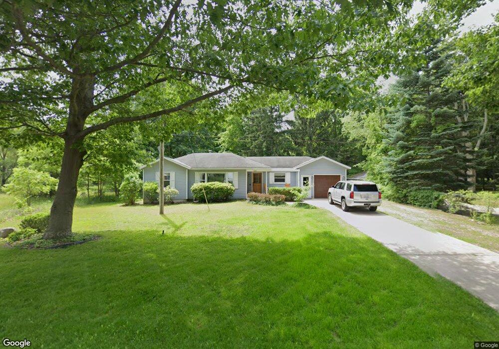
1898 W 32nd St Holland, MI 49423
South Holland NeighborhoodEstimated Value: $229,000 - $507,000
2
Beds
1
Bath
973
Sq Ft
$336/Sq Ft
Est. Value
About This Home
This home is located at 1898 W 32nd St, Holland, MI 49423 and is currently estimated at $326,908, approximately $335 per square foot. 1898 W 32nd St is a home located in Allegan County with nearby schools including Holland High School, Pine Ridge Christian School, and Calvary Schools of Holland - Plasman Campus.
Ownership History
Date
Name
Owned For
Owner Type
Purchase Details
Closed on
Dec 10, 2018
Sold by
Vandevusse Gayle A
Bought by
D Veele Llc
Current Estimated Value
Purchase Details
Closed on
Oct 7, 2016
Sold by
Tyink Johnny R and Tyink Cheryl P
Bought by
D Veele Llc
Purchase Details
Closed on
Mar 24, 2000
Sold by
Woodke Michael D and Woodke Sheila M
Bought by
Tyink Johnny R and Tyink Cheryl P
Purchase Details
Closed on
Mar 31, 1995
Sold by
Vanhuis Wayne and Vanhuis Connie
Bought by
Woodke Michael
Purchase Details
Closed on
Jan 24, 1992
Create a Home Valuation Report for This Property
The Home Valuation Report is an in-depth analysis detailing your home's value as well as a comparison with similar homes in the area
Home Values in the Area
Average Home Value in this Area
Purchase History
| Date | Buyer | Sale Price | Title Company |
|---|---|---|---|
| D Veele Llc | -- | None Available | |
| D Veele Llc | -- | None Available | |
| Tyink Johnny R | $117,900 | -- | |
| Woodke Michael | $79,000 | -- | |
| -- | $18,000 | -- |
Source: Public Records
Tax History Compared to Growth
Tax History
| Year | Tax Paid | Tax Assessment Tax Assessment Total Assessment is a certain percentage of the fair market value that is determined by local assessors to be the total taxable value of land and additions on the property. | Land | Improvement |
|---|---|---|---|---|
| 2025 | $3,763 | $111,300 | $45,000 | $66,300 |
| 2024 | $3,431 | $100,700 | $39,000 | $61,700 |
| 2023 | $3,431 | $98,800 | $39,000 | $59,800 |
| 2022 | $3,431 | $82,300 | $26,800 | $55,500 |
| 2021 | $3,143 | $70,400 | $18,500 | $51,900 |
| 2020 | $3,143 | $64,900 | $18,500 | $46,400 |
| 2019 | $0 | $64,500 | $22,100 | $42,400 |
| 2018 | $0 | $62,500 | $22,100 | $40,400 |
| 2017 | -- | $58,500 | $18,400 | $40,100 |
| 2016 | -- | $55,400 | $18,400 | $37,000 |
| 2015 | -- | $55,400 | $18,400 | $37,000 |
| 2014 | -- | $53,100 | $18,400 | $34,700 |
| 2013 | -- | $50,300 | $18,400 | $31,900 |
Source: Public Records
Map
Nearby Homes
- 1968 S Shorewood Ln Unit 14
- 1991 N Shorewood Ln Unit 4
- 1981 N Shorewood Ln Unit 6
- The Andover 3 Plan at Shorewood Lane
- The Andover 2 Plan at Shorewood Lane
- Andover Plan at Shorewood Lane
- 1982 S Shore Dr Unit 2
- 1995 N Shorewood Ln Unit 2
- 1992 S Shore Dr Unit 2
- 1992 S Shore Dr Unit 3
- 1933 S Shore Dr
- 6579 Partridge Ln
- 1761 S Shore Dr
- 1704 Summit St
- 645 Harrington Ave
- 6621 Forest Beach Dr
- 4679 Forest Ridge Dr Unit 29
- 4681 Forest Ridge Dr
- 2312 Maksaba Trail
- 4732 Northern Ct Unit 18
- 1902 W 32nd St
- 1899 W 32nd St
- 1885 W 32nd St
- 1907 W 32nd St
- 1916 W 32nd St
- 756 Saunders Ave
- 1913 W 32nd St
- 1923 W 32nd St
- 1930 W 32nd St
- 4790 Wildwood Rd
- 4786 Wildwood Rd
- 1859 W 32nd St
- 1933 W 32nd St
- 4784 Wildwood Rd
- 746 Saunders Ave
- 1849 W 32nd St
- 4778 Wildwood Rd
- 4774 Wildwood Rd
- 4764 65th St
- 1943 W 32nd St