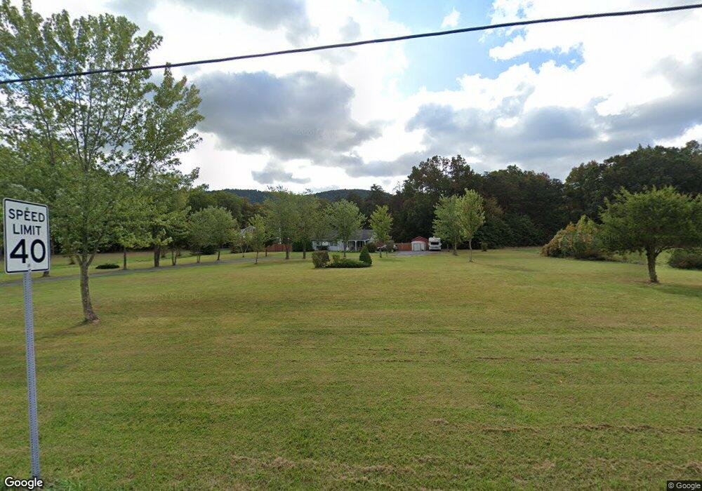
18982 Amberson Rd Spring Run, PA 17262
Estimated Value: $242,000 - $317,000
Studio
--
Bath
1,710
Sq Ft
$161/Sq Ft
Est. Value
About This Home
This home is located at 18982 Amberson Rd, Spring Run, PA 17262 and is currently estimated at $276,162, approximately $161 per square foot. 18982 Amberson Rd is a home located in Franklin County with nearby schools including Fannett-Metal Elementary School and Fannett-Metal Middle School.
Ownership History
Date
Name
Owned For
Owner Type
Purchase Details
Closed on
Nov 17, 2005
Sold by
Taylor Mark A and Taylor Michele L
Bought by
Mchenry Keith
Current Estimated Value
Home Financials for this Owner
Home Financials are based on the most recent Mortgage that was taken out on this home.
Original Mortgage
$29,980
Interest Rate
6.07%
Mortgage Type
FHA
Create a Home Valuation Report for This Property
The Home Valuation Report is an in-depth analysis detailing your home's value as well as a comparison with similar homes in the area
Purchase History
| Date | Buyer | Sale Price | Title Company |
|---|---|---|---|
| Mchenry Keith | $149,900 | None Available |
Source: Public Records
Mortgage History
| Date | Status | Borrower | Loan Amount |
|---|---|---|---|
| Closed | Mchenry Keith | $29,980 | |
| Open | Mchenry Keith | $119,920 |
Source: Public Records
Tax History
| Year | Tax Paid | Tax Assessment Tax Assessment Total Assessment is a certain percentage of the fair market value that is determined by local assessors to be the total taxable value of land and additions on the property. | Land | Improvement |
|---|---|---|---|---|
| 2025 | $2,025 | $17,250 | $500 | $16,750 |
| 2024 | $2,025 | $17,250 | $500 | $16,750 |
| 2023 | $1,991 | $17,250 | $500 | $16,750 |
| 2022 | $1,991 | $17,250 | $500 | $16,750 |
| 2021 | $1,991 | $17,250 | $500 | $16,750 |
| 2020 | $1,982 | $17,250 | $500 | $16,750 |
| 2019 | $1,975 | $17,250 | $500 | $16,750 |
| 2018 | $1,949 | $17,250 | $500 | $16,750 |
| 2017 | $1,907 | $17,250 | $500 | $16,750 |
| 2016 | $494 | $17,250 | $500 | $16,750 |
| 2015 | $461 | $17,250 | $500 | $16,750 |
| 2014 | $461 | $17,250 | $500 | $16,750 |
Source: Public Records
Map
Nearby Homes
- 18951 Amberson Rd
- 18493 Amberson Rd
- 21571 Path Valley Rd
- 17005 Cumberland Hwy
- 19031 Back Rd
- 11230 Forge Hill Rd
- 10193 Cardinal Dr
- 10119 Cardinal Dr
- 13496 Cumberland Hwy
- TRACT 1: 19032 Spring Run Rd
- TRACT 3: 19108 Spring Run Rd
- 13168 Cumberland Hwy
- 23570 Path Valley Rd
- 17231 Junkin Rd
- 18104 Stone Bridge Rd
- 22556 Loop Rd
- 0 Mountain Rd
- 10572 Upper Strasburg Rd
- 16 E Main St
- 125 Hanna Rd
- 19066 Amberson Rd
- 18829 Amberson Rd
- 19183 Amberson Rd
- 18741 Amberson Rd
- 18741 Amberson Rd
- 18623 Amberson Rd
- 17891 Cold Spring Rd
- 18231 Store Ln
- 18314 Store Ln
- 19329 Amberson Rd
- 5 Amberson Road Ac
- 5 Amberson Rd
- 2 Amberson Rd
- 21942 Chestnut Rd Unit 21942
- 21980 Indian Springs Trail
- 21942 Chestnut Rd
- 2 Amberson Rd Ac
- 0 Store Ln
- 17222 Mill Rd
- 18560 Store Ln
Your Personal Tour Guide
Ask me questions while you tour the home.
