1899 Laurel Ridge Dr Reno, NV 89523
Somersett NeighborhoodEstimated Value: $1,552,684 - $1,660,000
4
Beds
6
Baths
5,782
Sq Ft
$278/Sq Ft
Est. Value
About This Home
This home is located at 1899 Laurel Ridge Dr, Reno, NV 89523 and is currently estimated at $1,604,671, approximately $277 per square foot. 1899 Laurel Ridge Dr is a home located in Washoe County with nearby schools including B D Billinghurst Middle School and Robert McQueen High School.
Ownership History
Date
Name
Owned For
Owner Type
Purchase Details
Closed on
Jul 16, 2025
Sold by
Abacan Celestino S and Abacan Teresita M
Bought by
Cta Living Trust and Abacan
Current Estimated Value
Purchase Details
Closed on
Sep 9, 2005
Sold by
Coleman Toll Lp
Bought by
Abacan Celestino S and Abacan Teresita M
Home Financials for this Owner
Home Financials are based on the most recent Mortgage that was taken out on this home.
Original Mortgage
$400,000
Interest Rate
6.57%
Mortgage Type
Unknown
Create a Home Valuation Report for This Property
The Home Valuation Report is an in-depth analysis detailing your home's value as well as a comparison with similar homes in the area
Home Values in the Area
Average Home Value in this Area
Purchase History
| Date | Buyer | Sale Price | Title Company |
|---|---|---|---|
| Cta Living Trust | -- | None Listed On Document | |
| Abacan Celestino S | $993,500 | First American Title |
Source: Public Records
Mortgage History
| Date | Status | Borrower | Loan Amount |
|---|---|---|---|
| Previous Owner | Abacan Celestino S | $400,000 |
Source: Public Records
Tax History Compared to Growth
Tax History
| Year | Tax Paid | Tax Assessment Tax Assessment Total Assessment is a certain percentage of the fair market value that is determined by local assessors to be the total taxable value of land and additions on the property. | Land | Improvement |
|---|---|---|---|---|
| 2025 | $8,370 | $408,832 | $76,125 | $332,707 |
| 2024 | $8,370 | $407,110 | $72,450 | $334,660 |
| 2023 | $8,127 | $392,856 | $76,300 | $316,556 |
| 2022 | $7,891 | $329,489 | $66,325 | $263,164 |
| 2021 | $7,663 | $311,590 | $50,400 | $261,190 |
| 2020 | $7,436 | $309,363 | $48,020 | $261,343 |
| 2019 | $7,221 | $299,454 | $47,250 | $252,204 |
| 2018 | $7,010 | $278,089 | $31,780 | $246,309 |
| 2017 | $6,809 | $272,583 | $26,460 | $246,123 |
| 2016 | $6,633 | $241,308 | $28,875 | $212,433 |
| 2015 | $6,621 | $217,086 | $28,840 | $188,246 |
| 2014 | $6,430 | $224,463 | $27,860 | $196,603 |
| 2013 | -- | $170,238 | $24,850 | $145,388 |
Source: Public Records
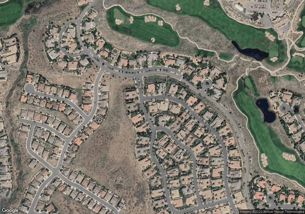
Map
Nearby Homes
- 1845 Graysburg Dr
- 8830 Scott Valley Ct
- 1725 Verdi Vista Ct
- 1800 Laurel Ridge Dr
- 8750 Lost Creek Ct
- 1725 Scott Valley Rd
- 8770 Lost Creek Ct
- 1610 Verdi Vista Ct
- 1640 Scott Valley Rd
- 8360 Cinnamon Ridge Ln
- 1590 Scott Valley Rd
- 8925 Chipshot Trail
- 8310 Cinnamon Ridge Ln
- 1671 Crescent Pointe Ct
- 1591 Elk Run Trail
- 2360 Hickory Hill Way
- 8200 Antler Pointe Ct
- 2020 Heavenly View Trail
- 8674 Eagle Chase Trail
- 8673 Eagle Chase Trail
- 1891 Laurel Ridge Dr
- 1890 Graysburg Dr
- 1898 Laurel Ridge Dr
- 1985 Champion Hills Dr
- 1965 Champion Hills Dr
- 1881 Laurel Ridge Dr
- 1995 Champion Hills Dr
- 1888 Laurel Ridge Dr
- 1870 Graysburg Dr
- 1955 Champion Hills Dr
- 1884 Laurel Ridge Dr
- 1884 Laurel Ridge Dr Unit 31
- 1871 Laurel Ridge Dr Unit 38
- 1871 Laurel Ridge Dr
- 1860 Graysburg Dr
- 1861 Laurel Ridge Dr
- 1875 Graysburg Dr
- 1945 Champion Hills Dr
- 1950 Champion Hills Dr
- 1894 Scott Valley Rd