1899 NE Norris Rd Bentonville, AR 72713
Estimated Value: $273,000 - $458,000
--
Bed
1
Bath
1,824
Sq Ft
$208/Sq Ft
Est. Value
About This Home
This home is located at 1899 NE Norris Rd, Bentonville, AR 72713 and is currently estimated at $379,333, approximately $207 per square foot. 1899 NE Norris Rd is a home located in Benton County with nearby schools including Vaughn Elementary, Grimsley Junior High School, and Creekside Middle School.
Ownership History
Date
Name
Owned For
Owner Type
Purchase Details
Closed on
Mar 24, 2012
Sold by
Grimsley Rex and Grimsley Carolyn
Bought by
Grimsley Rex and Grimsley Carolyn
Current Estimated Value
Purchase Details
Closed on
Mar 6, 1996
Bought by
Grimsley
Purchase Details
Closed on
Jul 11, 1986
Bought by
Cwd Inc 2P
Purchase Details
Closed on
Oct 9, 1985
Bought by
Iva Norris Dec'D
Create a Home Valuation Report for This Property
The Home Valuation Report is an in-depth analysis detailing your home's value as well as a comparison with similar homes in the area
Home Values in the Area
Average Home Value in this Area
Purchase History
| Date | Buyer | Sale Price | Title Company |
|---|---|---|---|
| Grimsley Rex | -- | None Available | |
| Grimsley | $292,000 | -- | |
| Cwd Inc 2P | $60,000 | -- | |
| Bewley 2P | $64,000 | -- | |
| Iva Norris Dec'D | -- | -- |
Source: Public Records
Tax History Compared to Growth
Tax History
| Year | Tax Paid | Tax Assessment Tax Assessment Total Assessment is a certain percentage of the fair market value that is determined by local assessors to be the total taxable value of land and additions on the property. | Land | Improvement |
|---|---|---|---|---|
| 2025 | $166 | $2,741 | $2,741 | -- |
| 2024 | $168 | $2,741 | $2,741 | $0 |
| 2023 | $161 | $2,630 | $2,630 | $0 |
| 2022 | $167 | $2,630 | $2,630 | $0 |
| 2021 | $167 | $2,630 | $2,630 | $0 |
| 2020 | $161 | $2,540 | $2,540 | $0 |
| 2019 | $161 | $2,540 | $2,540 | $0 |
| 2018 | $161 | $2,540 | $2,540 | $0 |
| 2017 | $207 | $3,630 | $2,540 | $1,090 |
| 2016 | $207 | $3,630 | $2,540 | $1,090 |
| 2015 | $207 | $3,380 | $2,290 | $1,090 |
| 2014 | $207 | $3,380 | $2,290 | $1,090 |
Source: Public Records
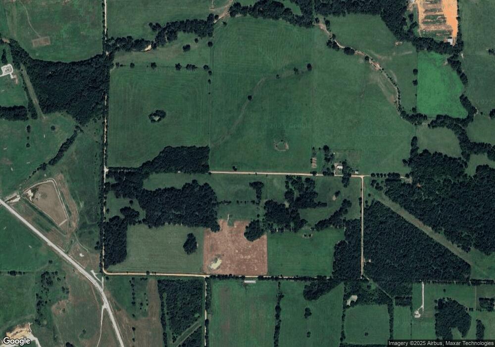
Map
Nearby Homes
- 6612 NW Kathleen St
- 6506 NW Kathleen St
- 6614 NW Kathleen St
- 6504 NW Kathleen St
- 7101 SW Basswood Ave
- 6708 SW Spindle St
- 6 Lots SW Basswood Ave
- 6908 SW Basswood Ave
- 7001 SW Basswood Ave
- 7004 SW Basswood Ave
- 6907 SW Basswood Ave
- 6910 SW Basswood Ave
- 6702 SW Acacia St
- 6905 SW Basswood Ave
- 7008 SW Basswood Ave
- 7002 SW Basswood Ave
- 6900 SW Basswood Ave
- 6901 SW Basswood Ave
- 6902 SW Basswood Ave
- 6909 SW Basswood Ave
- 1994 NE Norris Rd
- 2024 NE Norris Rd
- 6510 Kathleen St
- 6615 Kathleen St
- 1010 Crescent St
- 1030 Crescent St
- 1020 Crescent St
- 0 E Cowan Rd Unit 645310
- 0 E Cowan Rd Unit 645311
- 0 E Cowan Rd Unit 1011600
- 0 E Cowan Rd Unit 1075496
- 0 E Cowan Rd Unit 1135529
- 7801 SW Barron Rd
- 0 Hutchens & Insco Rd Unit 735517
- 9579 SW Barron Rd
- 9579 SW Barron Rd
- 10323 Waddell Rd
- 9753 SW Barron Rd
- 10333 Regional Ave
- 1403 Falkirk Ave