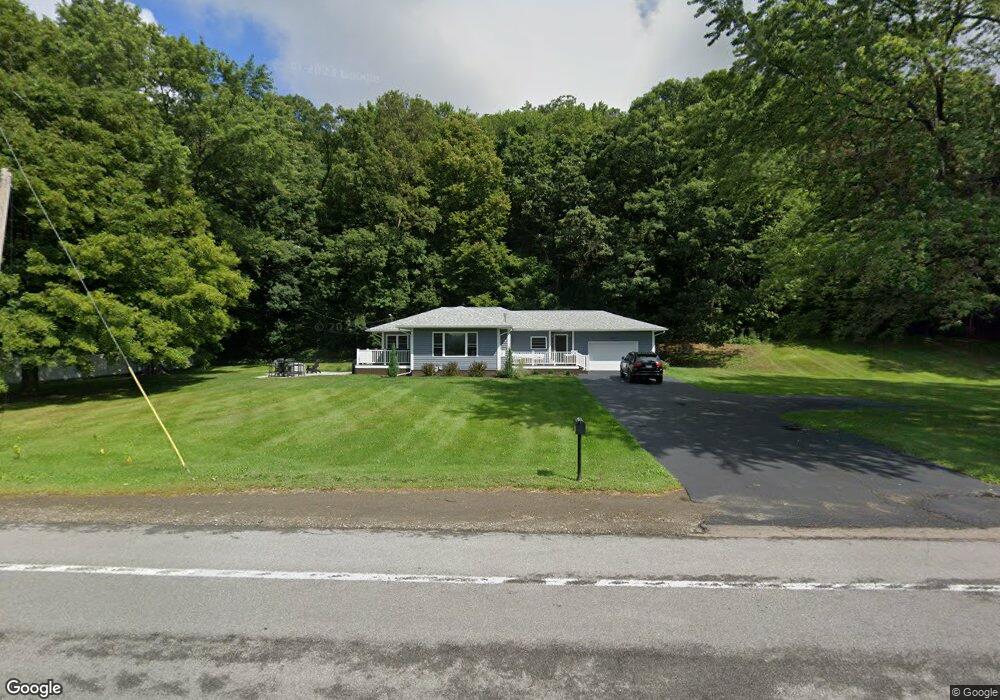
1899 State Route 63 Wayland, NY 14572
Estimated Value: $103,000 - $191,000
2
Beds
2
Baths
1,530
Sq Ft
$98/Sq Ft
Est. Value
About This Home
This home is located at 1899 State Route 63, Wayland, NY 14572 and is currently estimated at $150,054, approximately $98 per square foot. 1899 State Route 63 is a home located in Steuben County with nearby schools including Wayland Cohocton Middle School and Wayland Cohocton High School.
Ownership History
Date
Name
Owned For
Owner Type
Purchase Details
Closed on
Jan 4, 2021
Sold by
Rauber Timothy R
Bought by
Rauber Laura G
Current Estimated Value
Home Financials for this Owner
Home Financials are based on the most recent Mortgage that was taken out on this home.
Original Mortgage
$171,000
Outstanding Balance
$152,591
Interest Rate
2.7%
Mortgage Type
New Conventional
Estimated Equity
-$2,537
Purchase Details
Closed on
Feb 25, 2010
Sold by
Rauber Gerald
Bought by
Rauber Timothy
Create a Home Valuation Report for This Property
The Home Valuation Report is an in-depth analysis detailing your home's value as well as a comparison with similar homes in the area
Home Values in the Area
Average Home Value in this Area
Purchase History
| Date | Buyer | Sale Price | Title Company |
|---|---|---|---|
| Rauber Laura G | $100,000 | None Available | |
| Rauber Timothy | -- | -- |
Source: Public Records
Mortgage History
| Date | Status | Borrower | Loan Amount |
|---|---|---|---|
| Open | Rauber Laura G | $171,000 |
Source: Public Records
Tax History Compared to Growth
Tax History
| Year | Tax Paid | Tax Assessment Tax Assessment Total Assessment is a certain percentage of the fair market value that is determined by local assessors to be the total taxable value of land and additions on the property. | Land | Improvement |
|---|---|---|---|---|
| 2024 | $3,227 | $105,700 | $9,300 | $96,400 |
| 2023 | $3,429 | $105,700 | $9,300 | $96,400 |
| 2022 | $3,237 | $105,700 | $9,300 | $96,400 |
| 2021 | $3,295 | $99,700 | $8,900 | $90,800 |
| 2020 | $2,617 | $98,800 | $8,000 | $90,800 |
| 2019 | $2,632 | $98,800 | $8,000 | $90,800 |
| 2018 | $2,632 | $98,800 | $8,000 | $90,800 |
| 2017 | $2,572 | $98,800 | $8,000 | $90,800 |
| 2016 | $2,482 | $98,800 | $8,000 | $90,800 |
| 2015 | -- | $98,800 | $8,000 | $90,800 |
| 2014 | -- | $98,800 | $8,000 | $90,800 |
Source: Public Records
Map
Nearby Homes
- 2057 New York 63
- 1651 State Route 63
- 11797 Reservoir Rd
- 306 Fremont St
- 0 Route 21 S
- 223 Lincoln St
- 9092 Carney Hollow Rd
- 300 E Naples St
- 102 East Ave
- 107 East Ave
- 10156 Stones Falls Rd
- 9692 Highland Ave
- 70 Leonard St
- 0 Gibson St Unit R1517418
- 53 Chestnut Ave
- 6 Elizabeth St
- 16 Elizabeth St
- 27 Chestnut Ave
- 75 Main St
- 3 Wilmot St
- 1891 State Route 63
- 1887 State Route 63
- 1958 County
- 1861 State Route 63
- 1962 State Route 63
- 11385 Cansdale Dr
- 11396 Gross Hill Rd
- 11261 Chapel St
- 11322 Chapel St
- 1988 State Route 63
- 1998 State Route 63
- 11393 Gross Hill Rd
- 11399 Gross Hill Rd
- 1800 State Route 63
- 11280 Chapel St
- 2044 Dieter Rd
- 11272 Chapel St
- 11266 Chapel St
- 0 County Route 91 E Unit R291678
- 11258 Chapel St