18998 State Highway Cc Warrenton, MO 63383
Estimated Value: $501,000 - $928,000
2
Beds
2
Baths
2,200
Sq Ft
$311/Sq Ft
Est. Value
About This Home
This home is located at 18998 State Highway Cc, Warrenton, MO 63383 and is currently estimated at $683,494, approximately $310 per square foot. 18998 State Highway Cc is a home located in Warren County with nearby schools including Warrior Ridge Elementary School, Black Hawk Middle School, and Warrenton High School.
Ownership History
Date
Name
Owned For
Owner Type
Purchase Details
Closed on
Mar 30, 2015
Sold by
U S Bank National Association
Bought by
Mirth Michael
Current Estimated Value
Home Financials for this Owner
Home Financials are based on the most recent Mortgage that was taken out on this home.
Original Mortgage
$135,000
Outstanding Balance
$103,925
Interest Rate
3.74%
Mortgage Type
Future Advance Clause Open End Mortgage
Estimated Equity
$579,569
Create a Home Valuation Report for This Property
The Home Valuation Report is an in-depth analysis detailing your home's value as well as a comparison with similar homes in the area
Home Values in the Area
Average Home Value in this Area
Purchase History
| Date | Buyer | Sale Price | Title Company |
|---|---|---|---|
| Mirth Michael | -- | None Available |
Source: Public Records
Mortgage History
| Date | Status | Borrower | Loan Amount |
|---|---|---|---|
| Open | Mirth Michael | $135,000 |
Source: Public Records
Tax History Compared to Growth
Tax History
| Year | Tax Paid | Tax Assessment Tax Assessment Total Assessment is a certain percentage of the fair market value that is determined by local assessors to be the total taxable value of land and additions on the property. | Land | Improvement |
|---|---|---|---|---|
| 2024 | $3,430 | $59,820 | $5,487 | $54,333 |
| 2023 | $3,430 | $59,820 | $5,487 | $54,333 |
| 2022 | $3,184 | $55,389 | $5,081 | $50,308 |
| 2021 | $3,184 | $55,389 | $5,081 | $50,308 |
| 2020 | $3,249 | $56,197 | $5,081 | $51,116 |
| 2019 | $3,250 | $56,197 | $0 | $0 |
| 2017 | $2,739 | $48,853 | $0 | $0 |
| 2016 | $2,730 | $48,853 | $0 | $0 |
| 2015 | -- | $48,853 | $0 | $0 |
| 2011 | -- | $48,850 | $0 | $0 |
Source: Public Records
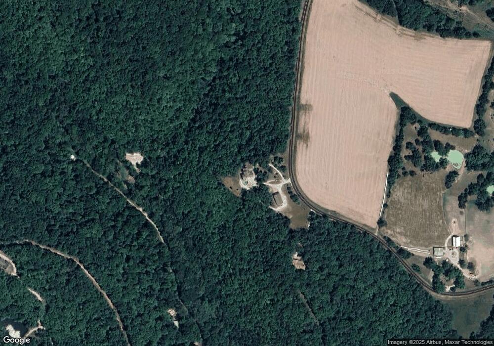
Map
Nearby Homes
- 19689 Coventry Cir Unit 360
- 20220 Inverness Dr
- 19507 Krone Rd
- 22660 Doe Haven Dr
- 23721 Green Meadows
- 2528 Alpine Trails Dr
- 2545 Alpine Woods Dr
- 2537 Alpine Woods Dr
- 2543 Alpine Woods Dr
- 19113 Bent Oak Dr
- 24826 Lake Dr
- 2506 Alpine Woods Dr
- 2903 Valley View Dr
- 2349 Trautwein Dr
- 24479 Schuetzenground Rd
- 2393 Kitzbuhl Spur Dr
- 2813 Tyrol Ridge Dr
- 2807 Tyrol Ridge Dr
- 2456 Alpine Peak Dr
- 21139 Schwerdt Hill Rd
- 18998 State Highway Cc
- 18998 State Hwy Cc
- 21797 Bruce Morgan Unit MORGAN
- 21797 Bruce Morgan
- 21793 Bruce Morgan
- 21788 Bruce Morgan
- 18894 State Highway Cc
- 21397 Quail Ridge
- 20969 Canterbury Creek
- 19461 State Highway Cc
- 18830 Quail Run Ln
- 20983 Highlands
- 19046 Quail Run Ln
- 19050 Quail Run Ln
- 20988 Highlands
- 40+/- Ac State Highway Cc
- 20699 Lancashire Lake Dr
- 20745 Canterbury Creek
- 57 Canterbury Creek Lot
- 21372 Quail Ridge