18R Bungalow Rd Gloucester, MA 01930
West Gloucester NeighborhoodEstimated Value: $2,060,000 - $3,523,000
5
Beds
3
Baths
2,343
Sq Ft
$1,200/Sq Ft
Est. Value
About This Home
This home is located at 18R Bungalow Rd, Gloucester, MA 01930 and is currently estimated at $2,811,253, approximately $1,199 per square foot. 18R Bungalow Rd is a home located in Essex County with nearby schools including West Parish and Ralph B O'maley Middle School.
Ownership History
Date
Name
Owned For
Owner Type
Purchase Details
Closed on
Sep 17, 2024
Sold by
Sassoon Marcia F
Bought by
18 Rear Bungalow Road Llc
Current Estimated Value
Purchase Details
Closed on
May 1, 1979
Bought by
Sassoon Marcia F
Create a Home Valuation Report for This Property
The Home Valuation Report is an in-depth analysis detailing your home's value as well as a comparison with similar homes in the area
Home Values in the Area
Average Home Value in this Area
Purchase History
| Date | Buyer | Sale Price | Title Company |
|---|---|---|---|
| 18 Rear Bungalow Road Llc | -- | None Available | |
| 18 Rear Bungalow Road Llc | -- | None Available | |
| Sassoon Marcia F | $80,000 | -- |
Source: Public Records
Mortgage History
| Date | Status | Borrower | Loan Amount |
|---|---|---|---|
| Previous Owner | Sassoon Marcia F | $600,000 | |
| Previous Owner | Sassoon Marcia F | $300,000 | |
| Previous Owner | Sassoon Marcia F | $70,000 |
Source: Public Records
Tax History Compared to Growth
Tax History
| Year | Tax Paid | Tax Assessment Tax Assessment Total Assessment is a certain percentage of the fair market value that is determined by local assessors to be the total taxable value of land and additions on the property. | Land | Improvement |
|---|---|---|---|---|
| 2025 | $30,428 | $3,130,500 | $2,398,900 | $731,600 |
| 2024 | $29,209 | $3,002,000 | $2,283,800 | $718,200 |
| 2023 | $27,401 | $2,587,400 | $1,948,500 | $638,900 |
| 2022 | $24,967 | $2,128,500 | $1,621,900 | $506,600 |
| 2021 | $24,473 | $1,967,300 | $1,473,900 | $493,400 |
| 2020 | $23,838 | $1,933,300 | $1,473,900 | $459,400 |
| 2019 | $23,213 | $1,829,200 | $1,405,300 | $423,900 |
| 2018 | $22,774 | $1,761,300 | $1,371,000 | $390,300 |
| 2017 | $22,027 | $1,670,000 | $1,305,100 | $364,900 |
| 2016 | $18,310 | $1,345,300 | $1,022,300 | $323,000 |
| 2015 | $17,755 | $1,300,700 | $999,000 | $301,700 |
Source: Public Records
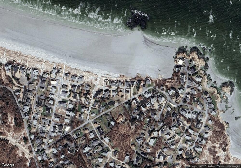
Map
Nearby Homes
- 226 Atlantic St
- 188 Atlantic St
- 6 River Rd
- 672 Washington St
- 49 Thurston Point Rd
- 30 Atlantic St
- 3 Colburn St
- 3 Colburn St Unit 1
- 3 Colburn St Unit 2
- 109 Riverview Rd
- 18 Cherry St
- 48 Rowley Shore
- 65 Poplar St
- 5 Samoset Rd Unit A
- 19 Mystic Ave
- 6 Beauport Ave
- 78 Grove St
- 196 Washington St
- 145 Essex Ave Unit 610
- 11 Overlook Ave