18R Overlook Ave Gloucester, MA 01930
West Gloucester NeighborhoodEstimated Value: $772,000 - $981,293
4
Beds
3
Baths
1,976
Sq Ft
$440/Sq Ft
Est. Value
About This Home
This home is located at 18R Overlook Ave, Gloucester, MA 01930 and is currently estimated at $868,823, approximately $439 per square foot. 18R Overlook Ave is a home located in Essex County with nearby schools including West Parish, Ralph B O'maley Middle School, and Faith Christian School.
Ownership History
Date
Name
Owned For
Owner Type
Purchase Details
Closed on
Aug 31, 2016
Sold by
Horne Adam A and Walters Stephanie H
Bought by
Horne Adam A
Current Estimated Value
Home Financials for this Owner
Home Financials are based on the most recent Mortgage that was taken out on this home.
Original Mortgage
$334,000
Outstanding Balance
$261,535
Interest Rate
3%
Mortgage Type
Adjustable Rate Mortgage/ARM
Estimated Equity
$607,288
Create a Home Valuation Report for This Property
The Home Valuation Report is an in-depth analysis detailing your home's value as well as a comparison with similar homes in the area
Home Values in the Area
Average Home Value in this Area
Purchase History
| Date | Buyer | Sale Price | Title Company |
|---|---|---|---|
| Horne Adam A | -- | -- |
Source: Public Records
Mortgage History
| Date | Status | Borrower | Loan Amount |
|---|---|---|---|
| Open | Horne Adam A | $334,000 |
Source: Public Records
Tax History Compared to Growth
Tax History
| Year | Tax Paid | Tax Assessment Tax Assessment Total Assessment is a certain percentage of the fair market value that is determined by local assessors to be the total taxable value of land and additions on the property. | Land | Improvement |
|---|---|---|---|---|
| 2025 | $7,479 | $769,400 | $285,200 | $484,200 |
| 2024 | $7,354 | $755,800 | $271,600 | $484,200 |
| 2023 | $7,364 | $695,400 | $242,500 | $452,900 |
| 2022 | $7,196 | $613,500 | $210,800 | $402,700 |
| 2021 | $6,960 | $559,500 | $191,900 | $367,600 |
| 2020 | $6,936 | $562,500 | $191,900 | $370,600 |
| 2019 | $6,693 | $527,400 | $191,900 | $335,500 |
| 2018 | $6,512 | $503,600 | $191,900 | $311,700 |
| 2017 | $6,480 | $491,300 | $182,800 | $308,500 |
| 2016 | $6,406 | $470,700 | $190,800 | $279,900 |
| 2015 | $6,144 | $450,100 | $190,800 | $259,300 |
Source: Public Records
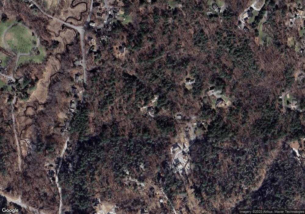
Map
Nearby Homes
- 11 Overlook Ave
- 587 Essex Ave
- 7 Leaman Dr
- 139 Eastern Ave
- 368 Essex Ave
- 30 Atlantic St
- 12 Woodward Ave
- 227 Essex Ave
- 5 Samoset Rd Unit A
- 53 Southern Ave
- 162 Main St
- 63 Southern Ave
- 90 Southern Ave Unit 90
- 109 Riverview Rd
- 145 Essex Ave Unit 610
- 188 Atlantic St
- 1 Main St
- 34 & 34R Pickering St
- 226 Atlantic St
- 49 Thurston Point Rd
- 18 Overlook Ave
- 20 Overlook Ave
- 16 Overlook Ave
- 14 Overlook Ave
- 17 Overlook Ave
- 17 Overlook Ave
- 10 Overlook Ave
- 9 Overlook Ave
- 11R Overlook Ave
- 11 Overlook Ave
- 22 Overlook Ave
- 6 Overlook Ave
- 25 Overlook Ave
- 25 0verlook Ave
- 4 Overlook Ave
- 2 Overlook Ave
- 25 Sumner St
- 20 Sumner St
- 5 Overlook Ave
- 24 Sumner St