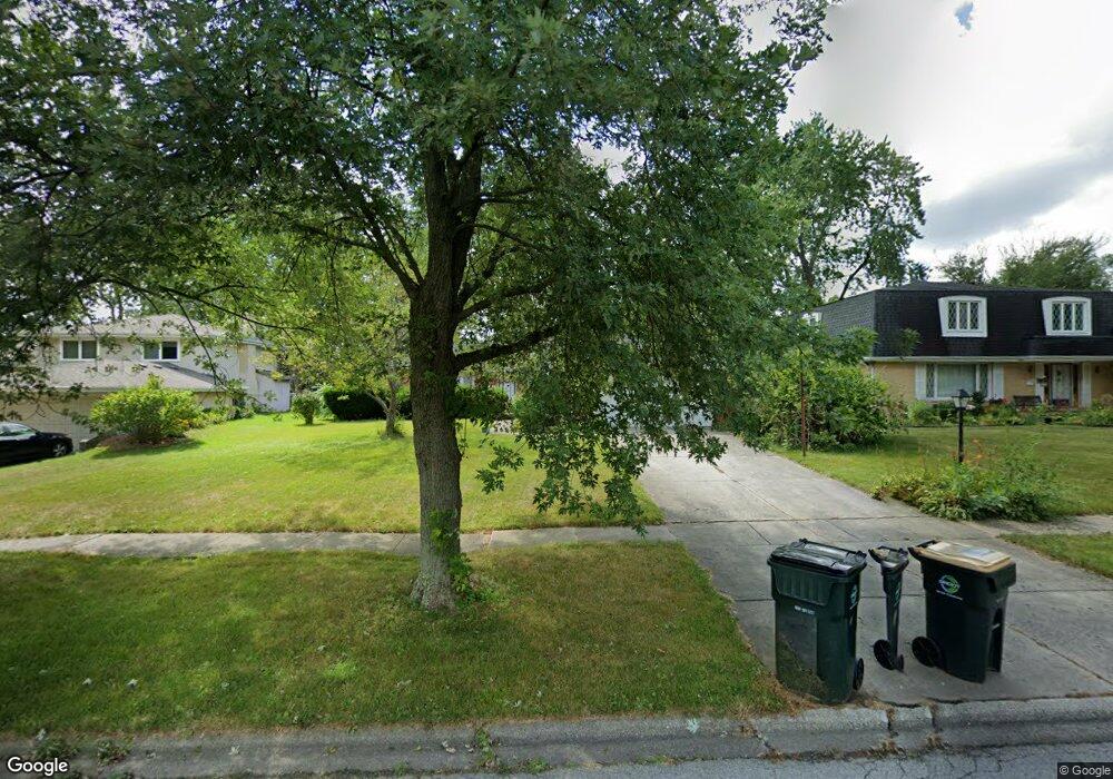
18W113 71st St Darien, IL 60561
Estimated Value: $291,000 - $493,000
Studio
--
Bath
1,300
Sq Ft
$309/Sq Ft
Est. Value
About This Home
This home is located at 18W113 71st St, Darien, IL 60561 and is currently estimated at $402,146, approximately $309 per square foot. 18W113 71st St is a home located in DuPage County with nearby schools including Mark Delay School, Lace Elementary School, and Eisenhower Jr High School.
Ownership History
Date
Name
Owned For
Owner Type
Purchase Details
Closed on
Apr 15, 2025
Sold by
Vogel Juliet A
Bought by
Mixen John C and Villalpando Nazareth
Current Estimated Value
Home Financials for this Owner
Home Financials are based on the most recent Mortgage that was taken out on this home.
Original Mortgage
$256,500
Interest Rate
6.88%
Mortgage Type
New Conventional
Create a Home Valuation Report for This Property
The Home Valuation Report is an in-depth analysis detailing your home's value as well as a comparison with similar homes in the area
Home Values in the Area
Average Home Value in this Area
Purchase History
| Date | Buyer | Sale Price | Title Company |
|---|---|---|---|
| Mixen John C | $270,000 | Fidelity National Title |
Source: Public Records
Mortgage History
| Date | Status | Borrower | Loan Amount |
|---|---|---|---|
| Closed | Mixen John C | $256,500 |
Source: Public Records
Tax History
| Year | Tax Paid | Tax Assessment Tax Assessment Total Assessment is a certain percentage of the fair market value that is determined by local assessors to be the total taxable value of land and additions on the property. | Land | Improvement |
|---|---|---|---|---|
| 2024 | $7,105 | $118,614 | $49,082 | $69,532 |
| 2023 | $6,807 | $109,040 | $45,120 | $63,920 |
| 2022 | $6,363 | $101,560 | $42,520 | $59,040 |
| 2021 | $6,142 | $100,410 | $42,040 | $58,370 |
| 2020 | $6,040 | $98,420 | $41,210 | $57,210 |
| 2019 | $5,503 | $94,430 | $39,540 | $54,890 |
| 2018 | $5,472 | $91,840 | $39,300 | $52,540 |
| 2017 | $5,304 | $88,380 | $37,820 | $50,560 |
| 2016 | $5,165 | $84,340 | $36,090 | $48,250 |
| 2015 | $5,014 | $78,770 | $33,950 | $44,820 |
| 2014 | $4,934 | $76,590 | $33,010 | $43,580 |
| 2013 | $4,779 | $76,240 | $32,860 | $43,380 |
Source: Public Records
Map
Nearby Homes
- 18W089 Claremont Dr
- 7209 Grant St
- 6808 Scotch Pine Trail
- 1614 Darien Club Dr
- 1447 Coventry Ct
- 1013 Torrey Pines Ct
- 1524 Brittany Ct
- 114 W 67th St
- 1543 Apple Grove Ln
- 7314 Summit Rd
- 2505 75th St
- 7706 Warwick Ave
- 7713 Brookhaven Ave
- 7525 Nantucket Dr Unit 210
- 7006 Wilcox Ave
- 47 W Pier Dr Unit 102
- 1421 Spruce Ln
- 7832 Adams St
- 107 65th Lake Dr Unit 202
- 1313 Cass Ln E Unit 302
- 18W123 71st St
- 18W103 71st St
- 18W133 71st St
- 18W124 Rodgers Ct
- 18W102 Rodgers Ct
- 18W079 71st St
- 18W108 71st St
- 18W130 71st St
- 18W120 71st St
- 18W145 71st St
- 18W080 Rodgers Ct
- 18W130 Rodgers Ct
- 18W088 71st St
- 18W067 71st St
- 18W076 71st St
- 18W070 Rodgers Ct
- 8S051 Adams St
- 18W125 Rodgers Ct
- 18W155 71st St
