19 129th Ave Wayland, MI 49348
Estimated Value: $474,000 - $1,224,058
2
Beds
1
Bath
1,652
Sq Ft
$512/Sq Ft
Est. Value
About This Home
This home is located at 19 129th Ave, Wayland, MI 49348 and is currently estimated at $846,265, approximately $512 per square foot. 19 129th Ave is a home with nearby schools including Wayland High School.
Ownership History
Date
Name
Owned For
Owner Type
Purchase Details
Closed on
Mar 19, 2014
Sold by
Latourette Farm Llc
Bought by
Lettinga Paul and Lettinga Leslie
Current Estimated Value
Home Financials for this Owner
Home Financials are based on the most recent Mortgage that was taken out on this home.
Original Mortgage
$315,000
Outstanding Balance
$237,849
Interest Rate
4.24%
Mortgage Type
Purchase Money Mortgage
Estimated Equity
$608,416
Create a Home Valuation Report for This Property
The Home Valuation Report is an in-depth analysis detailing your home's value as well as a comparison with similar homes in the area
Home Values in the Area
Average Home Value in this Area
Purchase History
| Date | Buyer | Sale Price | Title Company |
|---|---|---|---|
| Lettinga Paul | $380,000 | None Available |
Source: Public Records
Mortgage History
| Date | Status | Borrower | Loan Amount |
|---|---|---|---|
| Open | Lettinga Paul | $315,000 |
Source: Public Records
Tax History Compared to Growth
Tax History
| Year | Tax Paid | Tax Assessment Tax Assessment Total Assessment is a certain percentage of the fair market value that is determined by local assessors to be the total taxable value of land and additions on the property. | Land | Improvement |
|---|---|---|---|---|
| 2025 | $9,943 | $499,700 | $385,000 | $114,700 |
| 2024 | $8,518 | $431,500 | $316,400 | $115,100 |
| 2023 | $8,873 | $313,100 | $248,600 | $64,500 |
| 2022 | $8,518 | $332,200 | $280,400 | $51,800 |
| 2021 | $8,049 | $347,200 | $280,400 | $66,800 |
| 2020 | $8,273 | $276,800 | $268,600 | $8,200 |
| 2019 | $7,688 | $276,700 | $268,600 | $8,100 |
| 2018 | $3,880 | $280,200 | $265,100 | $15,100 |
| 2017 | $0 | $254,600 | $238,000 | $16,600 |
| 2016 | $0 | $274,700 | $244,800 | $29,900 |
| 2015 | -- | $274,700 | $244,800 | $29,900 |
| 2014 | -- | $218,600 | $197,100 | $21,500 |
| 2013 | -- | $202,600 | $181,400 | $21,200 |
Source: Public Records
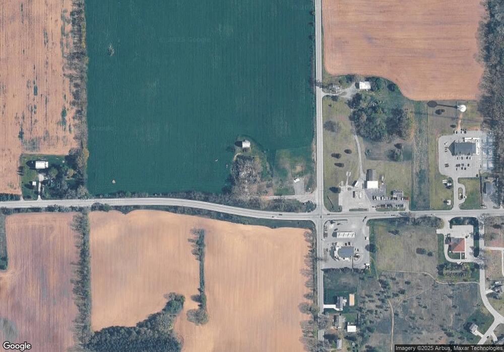
Map
Nearby Homes
- 1736 Parker Dr
- 12169 Pine Meadows Dr
- 1980 Parker Dr
- 12712 Sunrise Ct
- 2724 Pasture Ln
- 12031 Sandstone Dr
- 35 Cannonball Ln
- 12940 Cleland Ave
- 3140 Sandy Beach St
- 11065 W M 179 Hwy
- 12720 S Grey Ct
- 1164 E Bernie Ct
- 12857 Michael Dr Unit 49
- 3298 Elmwood Beach Rd
- 1391 Shadowridge Dr
- 516 131st Ave
- 590 129th Ave
- 2919 Beatrice Ave
- 2919 Beatrice Ave
- 11753 Rosemary Ln
- 13223 Patterson Rd
- 0 Patterson Rd Unit LOT 1
- 26 Patterson Rd
- 260 S Patterson Rd
- 350 S Patterson Rd
- 220 S Patterson Rd
- 200 S Patterson Rd
- 2539 S Patterson Rd
- 13211 S Patterson Rd Unit A
- 3200 S Patterson Rd Unit apprx
- 3200 S Patterson Rd
- 1629 S Patterson Rd
- V/L S Patterson Rd
- 1335 S Patterson Rd
- 1629 S Patterson Rd
- 71 129th Ave
- 1639 S Patterson Rd
- 1641 S Patterson Rd
- 1207 S Patterson Rd
- 12800 W M 179 Hwy