19 1st St Westport, MA 02790
South Westport NeighborhoodEstimated Value: $496,000 - $577,042
2
Beds
--
Bath
648
Sq Ft
$833/Sq Ft
Est. Value
About This Home
This home is located at 19 1st St, Westport, MA 02790 and is currently estimated at $540,011, approximately $833 per square foot. 19 1st St is a home located in Bristol County with nearby schools including Alice A. Macomber Primary School, Westport Elementary School, and Westport Middle-High School.
Ownership History
Date
Name
Owned For
Owner Type
Purchase Details
Closed on
Jan 26, 2000
Sold by
A & Y Odoardi Ret
Bought by
Fleming Reid K and Deibel Mary C
Current Estimated Value
Home Financials for this Owner
Home Financials are based on the most recent Mortgage that was taken out on this home.
Original Mortgage
$126,400
Outstanding Balance
$40,777
Interest Rate
7.83%
Mortgage Type
Purchase Money Mortgage
Estimated Equity
$499,234
Create a Home Valuation Report for This Property
The Home Valuation Report is an in-depth analysis detailing your home's value as well as a comparison with similar homes in the area
Home Values in the Area
Average Home Value in this Area
Purchase History
| Date | Buyer | Sale Price | Title Company |
|---|---|---|---|
| Fleming Reid K | $158,000 | -- |
Source: Public Records
Mortgage History
| Date | Status | Borrower | Loan Amount |
|---|---|---|---|
| Open | Fleming Reid K | $126,400 |
Source: Public Records
Tax History Compared to Growth
Tax History
| Year | Tax Paid | Tax Assessment Tax Assessment Total Assessment is a certain percentage of the fair market value that is determined by local assessors to be the total taxable value of land and additions on the property. | Land | Improvement |
|---|---|---|---|---|
| 2025 | $3,630 | $487,300 | $428,300 | $59,000 |
| 2024 | $3,505 | $453,400 | $396,800 | $56,600 |
| 2023 | $3,497 | $428,500 | $377,900 | $50,600 |
| 2022 | $3,591 | $423,500 | $377,900 | $45,600 |
| 2021 | $3,375 | $391,500 | $343,600 | $47,900 |
| 2020 | $3,184 | $377,700 | $329,800 | $47,900 |
| 2019 | $3,068 | $371,000 | $324,600 | $46,400 |
| 2018 | $3,683 | $330,500 | $288,900 | $41,600 |
| 2017 | $2,624 | $329,200 | $288,900 | $40,300 |
| 2016 | $2,656 | $335,800 | $294,500 | $41,300 |
| 2015 | $2,616 | $329,900 | $294,500 | $35,400 |
Source: Public Records
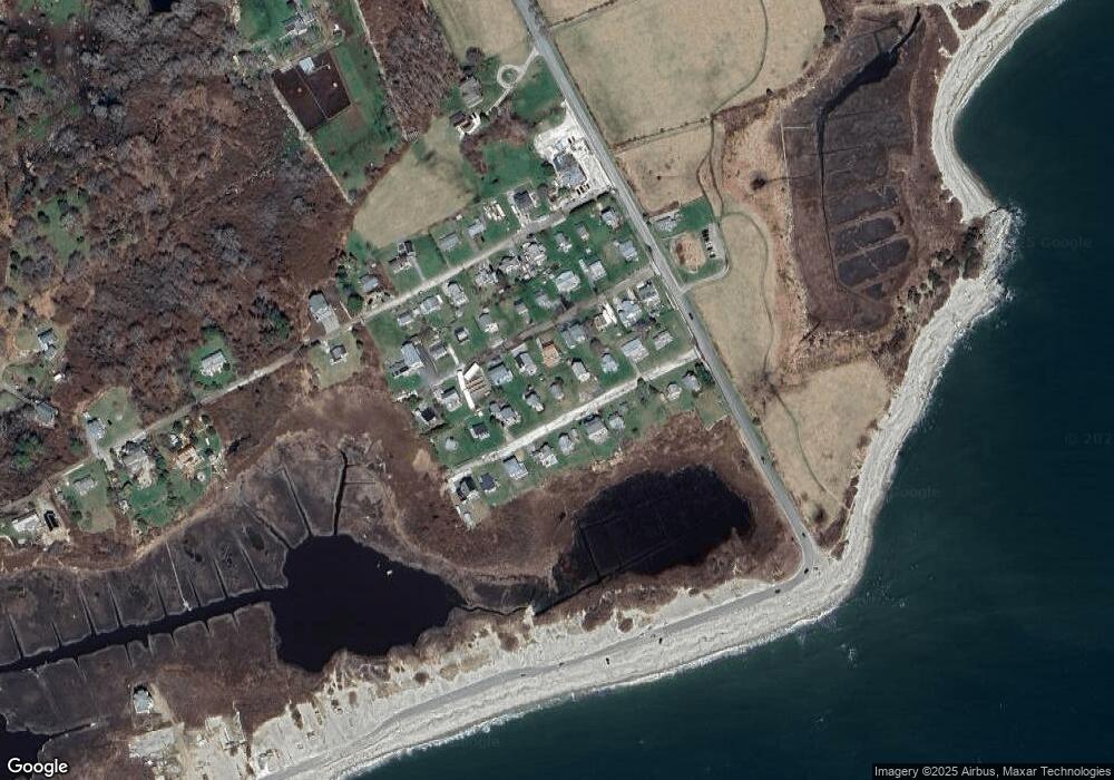
Map
Nearby Homes
- 238-242 E Beach Rd
- Lot 2 Horseneck Rd
- 0 Reed Rd (Ss)
- 1702 Drift Rd
- 1702J Drift Rd
- 1881 Main Rd
- Lot 2E Horseneck Rd
- 99 Sylvia Ln
- 158 Little River Rd
- 1580 Main Rd
- Lot 1 Rafael Rd
- 61 Pardon Hill Rd
- 2 Slades Farm Ln
- 12 Meadow Shores Rd
- 24 White Alder Way
- 1346 Main Rd Unit B
- 304 Brayton Point Rd
- 482 Smith Neck Rd
- 19 Seabury Ln
- 24 Eagle Dr