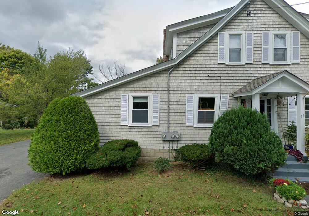
19-21 Everett Rd Bourne, MA 2532
Buzzards Bay NeighborhoodEstimated Value: $567,000 - $626,000
2
Beds
2
Baths
1,920
Sq Ft
$312/Sq Ft
Est. Value
About This Home
This home is located at 19-21 Everett Rd, Bourne, MA 2532 and is currently estimated at $598,967, approximately $311 per square foot. 19-21 Everett Rd is a home located in Barnstable County with nearby schools including Bourne High School and St Margaret Regional School.
Ownership History
Date
Name
Owned For
Owner Type
Purchase Details
Closed on
Oct 11, 2018
Sold by
Arnold David F
Bought by
David F Arnold Ft and Fisher
Current Estimated Value
Purchase Details
Closed on
Sep 27, 2017
Sold by
Castlewood Rt and Pollard
Bought by
Ashby Road Rt and Arnold
Create a Home Valuation Report for This Property
The Home Valuation Report is an in-depth analysis detailing your home's value as well as a comparison with similar homes in the area
Home Values in the Area
Average Home Value in this Area
Purchase History
| Date | Buyer | Sale Price | Title Company |
|---|---|---|---|
| David F Arnold Ft | -- | -- | |
| David F Arnold Ft | -- | -- | |
| Arnold David F | -- | -- | |
| Arnold David F | -- | -- | |
| Arnold David F | -- | -- | |
| Arnold David F | -- | -- | |
| Ashby Road Rt | $285,000 | -- | |
| Ashby Road Rt | $285,000 | -- |
Source: Public Records
Tax History
| Year | Tax Paid | Tax Assessment Tax Assessment Total Assessment is a certain percentage of the fair market value that is determined by local assessors to be the total taxable value of land and additions on the property. | Land | Improvement |
|---|---|---|---|---|
| 2025 | $3,537 | $452,900 | $190,200 | $262,700 |
| 2024 | $3,458 | $431,200 | $181,100 | $250,100 |
| 2023 | $3,363 | $381,700 | $160,300 | $221,400 |
| 2022 | $3,712 | $367,900 | $182,300 | $185,600 |
| 2021 | $3,452 | $320,500 | $166,000 | $154,500 |
| 2020 | $3,279 | $305,300 | $164,400 | $140,900 |
| 2019 | $3,124 | $297,200 | $164,400 | $132,800 |
| 2018 | $2,984 | $283,100 | $156,600 | $126,500 |
| 2017 | $2,543 | $246,900 | $149,300 | $97,600 |
| 2016 | $2,497 | $245,800 | $149,300 | $96,500 |
| 2015 | $2,475 | $245,800 | $149,300 | $96,500 |
Source: Public Records
Map
Nearby Homes
- 38 Old Bridge Rd
- 6 Honora Ct
- 3 Honora Ln Unit 3
- 304 Main St
- 60 Sandwich Rd
- 58 Maple St
- 46 Holt Rd Unit B
- 46 Holt Rd
- 23 Alderberry Rd
- 44 Cotuit Rd
- 10 Sandy Ln
- 5 Zoli Ln
- 40-A Lafayette Ave
- 4 Van Bummel Rd
- 13 Laurel Hill Ct
- 5 Sea Knoll Ct
- 60 Bourne Neck Dr
- 24 Ships View Terrace
- 4 Hollyhock Knoll Ct Unit 4
- 4 Hollyhock Knoll Ct Unit 4
- 19 Everett Rd Unit 21
- 19 Everett Rd Unit 2
- 17 Everett Rd
- 26 Everett Rd
- 26 Everett Rd
- 30 Everett Rd
- 18 Everett Rd
- 18 Everett Rd
- 27 Everett Rd
- 18 Everett Rd
- 15 Everett Rd
- 32 Everett Rd
- 32 Everett Rd
- 23 Old Bridge Rd
- 17 Sunset Ln
- 11 Everett Rd
- 29 Old Bridge Rd Unit 31
- 11 Everett Rd
- 19 Old Bridge Rd
- 29-31 Old Bridge Rd
Your Personal Tour Guide
Ask me questions while you tour the home.