Estimated payment $1,332/month
Highlights
- 19.6 Acre Lot
- No HOA
- Level Lot
- Fruit Trees
- Brush Vegetation
About This Lot
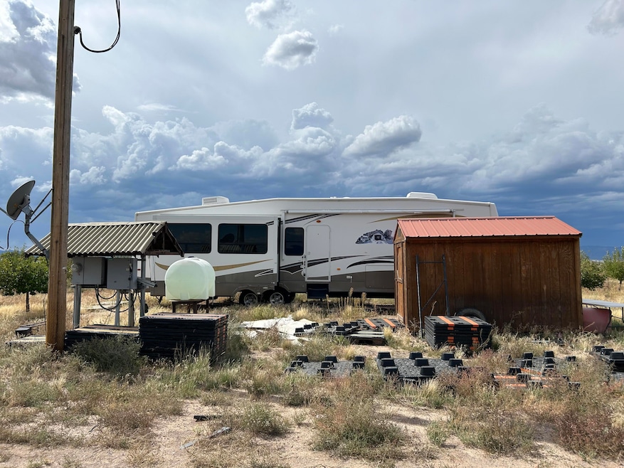
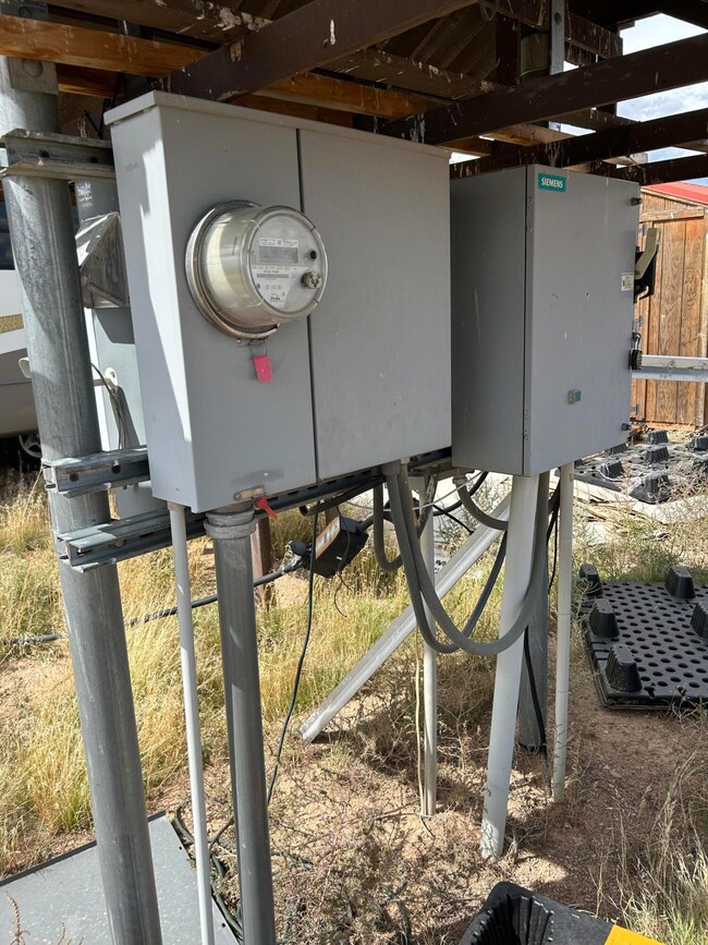
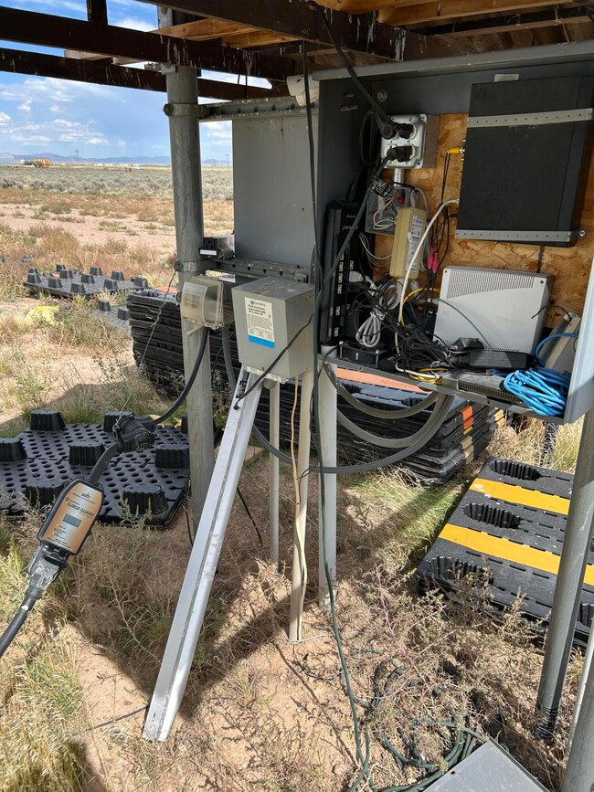
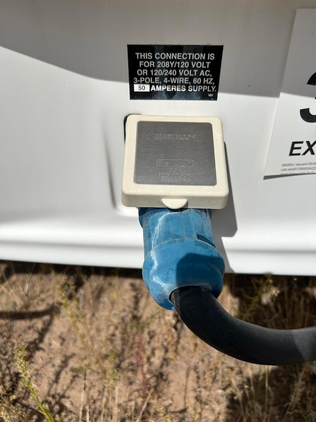
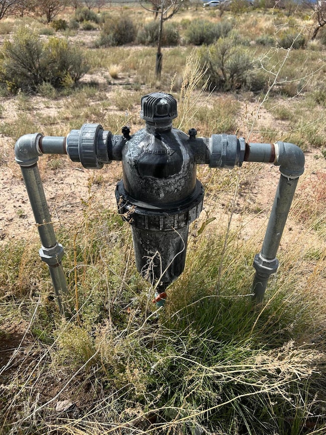
This is 19.6 acres with an apple orchard, over 200 trees. The property comes with 2 acre feet of water rights, a well, and drip system for watering the trees. The RV Trailer is included. There is a storage shed on the property and full electric hookup. There are a total of 2 lots that can be subdivided. The zoning is R1. The property has easy year round county road access. No CCR's or HOA. Located on county road in Escalante Valley Ranchos just off of Hwy 56. Don't delay come see today!
Listing Agent
Stratum Real Estate Group PLLC (Cedar) License #8651453SA00 Listed on: 09/25/2025
Property Details
Property Type
- Land
Est. Annual Taxes
- $221
Lot Details
- 19.6 Acre Lot
- Brush Vegetation
- Level Lot
- Fruit Trees
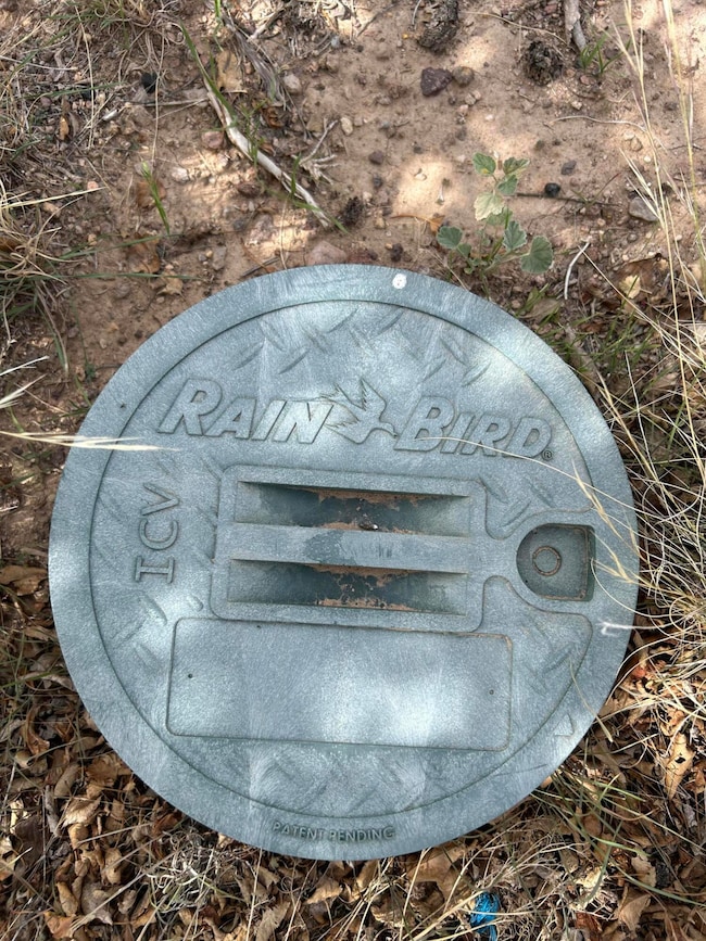
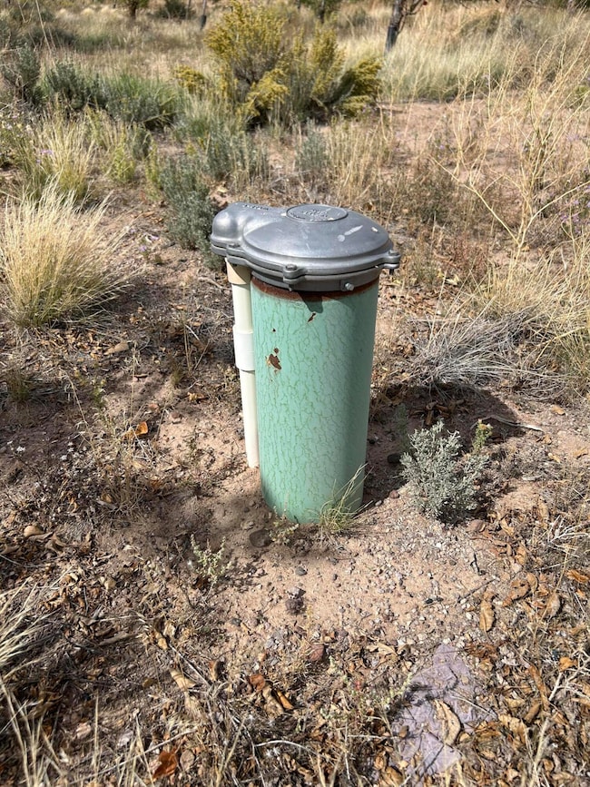
Utilities
- Irrigation Well
- Well
Community Details
- No Home Owners Association
- Escalante Valley Subdivision
Listing and Financial Details
- Assessor Parcel Number E-1611-0000-0000
Map
Home Values in the Area
Average Home Value in this Area
Tax History
| Year | Tax Paid | Tax Assessment Tax Assessment Total Assessment is a certain percentage of the fair market value that is determined by local assessors to be the total taxable value of land and additions on the property. | Land | Improvement |
|---|---|---|---|---|
| 2025 | $241 | $32,340 | $32,340 | -- |
| 2023 | $241 | $29,400 | $29,400 | $0 |
| 2022 | $246 | $29,015 | $29,015 | $0 |
| 2021 | $205 | $24,180 | $24,180 | $0 |
| 2020 | $232 | $24,180 | $24,180 | $0 |
| 2019 | $242 | $24,180 | $24,180 | $0 |
| 2018 | $247 | $24,180 | $24,180 | $0 |
| 2017 | $246 | $24,180 | $24,180 | $0 |
| 2016 | $273 | $24,180 | $24,180 | $0 |
| 2015 | $286 | $24,180 | $0 | $0 |
| 2014 | $124 | $9,880 | $0 | $0 |
Property History
| Date | Event | Price | List to Sale | Price per Sq Ft |
|---|---|---|---|---|
| 09/25/2025 09/25/25 | For Sale | $249,900 | -- | -- |
Purchase History
| Date | Type | Sale Price | Title Company |
|---|---|---|---|
| Warranty Deed | -- | Inwest Title | |
| Warranty Deed | -- | Inwest Title | |
| Warranty Deed | -- | -- | |
| Warranty Deed | -- | Cedar Land Title Inc | |
| Warranty Deed | -- | Southern Utah Title Of Cedar |
Mortgage History
| Date | Status | Loan Amount | Loan Type |
|---|---|---|---|
| Open | $107,200 | New Conventional | |
| Closed | $107,200 | New Conventional | |
| Previous Owner | $10,000 | Purchase Money Mortgage |
Source: Iron County Board of REALTORS®
MLS Number: 113261
APN: E-1611-0000-0000
- 40 N 5600 W
- 7040 N 6900 W
- 4800 N 5050 W
- 3791 N 4500 W Unit Lot 6 Blk H Escalant
- 3284 N 4300 W
- 5.32 Acres 1 Af Water
- 3200 N 4300 W
- 4500 W 4000 N Lots 1 and 22
- 0 5 Ac W Well #E-1610-0041-0000 Unit 24-248919
- 0 5 Ac W Well #E-1610-0041-0000 Unit 105893
- 0 39 09 Acres Unit 107392
- 0 39 09 Acres Unit 24-252144
- 57 Acres N 4400 W Unit (Located on 4400 W,
- 3688 W 4000 N
- 4500 W 4000 N
- 7163 W 4000 N
- 3570 N 4150 W Unit 22
- 3570 N 4150 W
- 0 4800 N 5050 W
- 4800 N 5050 W
