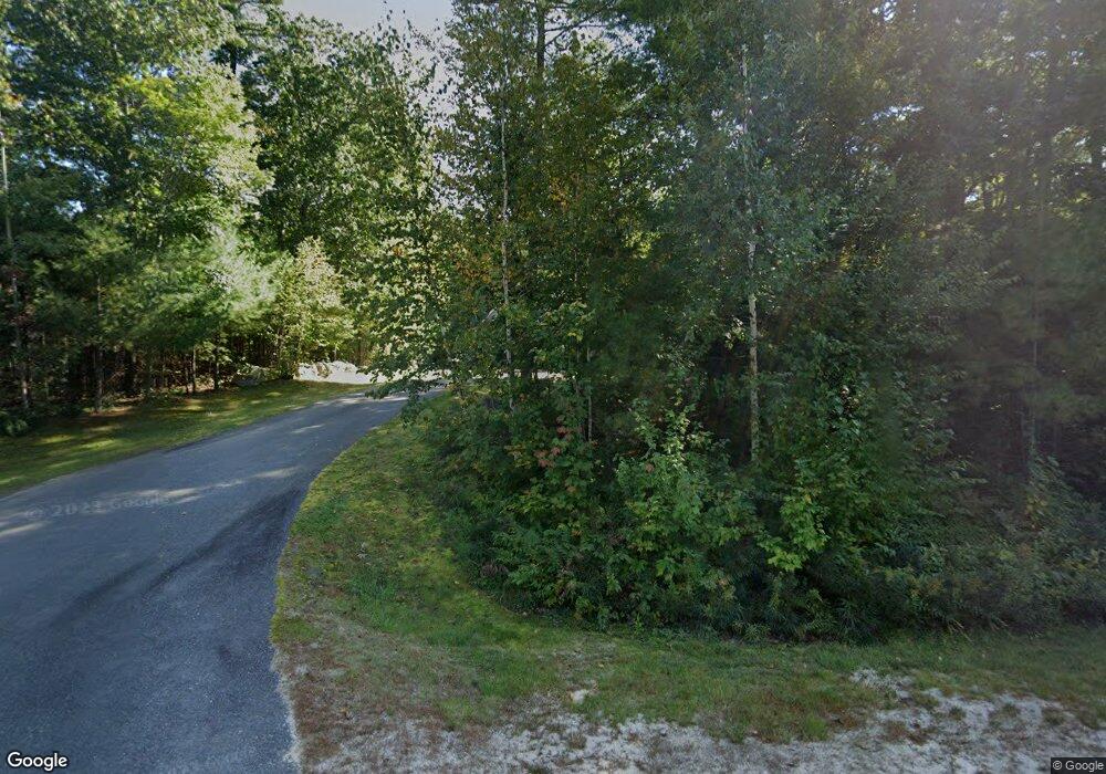
Estimated Value: $593,000 - $656,000
3
Beds
2
Baths
2,523
Sq Ft
$252/Sq Ft
Est. Value
About This Home
This home is located at 19 Ambrose Cir, Gray, ME 04039 and is currently estimated at $634,992, approximately $251 per square foot. 19 Ambrose Cir is a home located in Cumberland County with nearby schools including Gray-New Gloucester High School and Fiddlehead School of Arts & Science.
Ownership History
Date
Name
Owned For
Owner Type
Purchase Details
Closed on
Feb 15, 2005
Sold by
Porter Gretel M
Bought by
Stefanakos Michael K and Stefanakos Victoria S
Current Estimated Value
Home Financials for this Owner
Home Financials are based on the most recent Mortgage that was taken out on this home.
Original Mortgage
$291,638
Outstanding Balance
$149,014
Interest Rate
5.83%
Mortgage Type
Purchase Money Mortgage
Estimated Equity
$485,978
Create a Home Valuation Report for This Property
The Home Valuation Report is an in-depth analysis detailing your home's value as well as a comparison with similar homes in the area
Home Values in the Area
Average Home Value in this Area
Purchase History
| Date | Buyer | Sale Price | Title Company |
|---|---|---|---|
| Stefanakos Michael K | -- | -- |
Source: Public Records
Mortgage History
| Date | Status | Borrower | Loan Amount |
|---|---|---|---|
| Open | Stefanakos Michael K | $291,638 |
Source: Public Records
Tax History Compared to Growth
Tax History
| Year | Tax Paid | Tax Assessment Tax Assessment Total Assessment is a certain percentage of the fair market value that is determined by local assessors to be the total taxable value of land and additions on the property. | Land | Improvement |
|---|---|---|---|---|
| 2024 | $5,655 | $583,000 | $128,300 | $454,700 |
| 2023 | $5,474 | $360,600 | $64,700 | $295,900 |
| 2022 | $5,030 | $360,600 | $64,700 | $295,900 |
| 2021 | $4,782 | $327,300 | $64,700 | $262,600 |
| 2020 | $4,609 | $312,500 | $64,700 | $247,800 |
| 2019 | $4,609 | $312,500 | $64,700 | $247,800 |
| 2018 | $4,375 | $312,500 | $64,700 | $247,800 |
| 2017 | $4,267 | $236,400 | $56,500 | $179,900 |
| 2016 | $4,326 | $236,400 | $56,500 | $179,900 |
| 2015 | $4,803 | $263,900 | $56,500 | $207,400 |
| 2014 | $4,803 | $263,900 | $56,500 | $207,400 |
| 2012 | $4,183 | $263,887 | $56,507 | $207,380 |
Source: Public Records
Map
Nearby Homes
- 6 Garett Ave
- 74 May Meadow Dr
- 00 N Shore Rd
- 150 Birchwood Rd
- 11-007 Westwood Rd
- M011-006 Westwood Rd
- 28 Oak Dr
- Lot 3-12B Johnson Rd
- 167 Weymouth Rd
- 153 Shaker Rd
- 65 Blueberry Ln
- 4 Wanda Ln
- 127 Shaker Rd Unit 61
- 127 Shaker Rd Unit 37
- 56 Qualey Rd
- 0 Heidi Way
- 2 Dr
- 160 Lyons Point Rd
- 39 Pond Rd
- 7 Gore Rd
- 25 Ambrose Cir
- 15 Ambrose Cir
- 27 Ambrose Cir
- 10 Autumn Crossing
- 8 Autumn Crossing
- 20 Ambrose Cir
- 18 Ambrose Cir
- 12 Autumn Crossing
- 33 Ambrose Cir
- 28 Ambrose Cir
- 32 Ambrose Cir
- 11 Autumn Crossing
- 34 Ambrose Cir
- 20 May Meadow Dr
- 22 May Meadow Dr
- 16 Autumn Crossing
- 36 Ambrose Cir
- 26 May Meadow Dr
- 3 Ambrose Cir
- 3 Ambrose Cir
