19 Anderson Rd Riverside, WA 98849
Estimated Value: $475,000 - $612,000
3
Beds
2
Baths
2,050
Sq Ft
$258/Sq Ft
Est. Value
About This Home
This home is located at 19 Anderson Rd, Riverside, WA 98849 and is currently estimated at $528,639, approximately $257 per square foot. 19 Anderson Rd is a home located in Okanogan County with nearby schools including North Omak Elementary School, East Omak Elementary School, and Omak Middle School.
Ownership History
Date
Name
Owned For
Owner Type
Purchase Details
Closed on
Apr 30, 2008
Sold by
Ray Mike
Bought by
Foss Turcan Peter J and Foss Turcan Vanessa
Current Estimated Value
Home Financials for this Owner
Home Financials are based on the most recent Mortgage that was taken out on this home.
Original Mortgage
$228,000
Outstanding Balance
$136,594
Interest Rate
4.87%
Mortgage Type
Adjustable Rate Mortgage/ARM
Estimated Equity
$392,045
Create a Home Valuation Report for This Property
The Home Valuation Report is an in-depth analysis detailing your home's value as well as a comparison with similar homes in the area
Purchase History
| Date | Buyer | Sale Price | Title Company |
|---|---|---|---|
| Foss Turcan Peter J | $315,000 | Baines Title Co |
Source: Public Records
Mortgage History
| Date | Status | Borrower | Loan Amount |
|---|---|---|---|
| Open | Foss Turcan Peter J | $228,000 |
Source: Public Records
Tax History
| Year | Tax Paid | Tax Assessment Tax Assessment Total Assessment is a certain percentage of the fair market value that is determined by local assessors to be the total taxable value of land and additions on the property. | Land | Improvement |
|---|---|---|---|---|
| 2025 | $3,209 | $446,200 | $56,300 | $389,900 |
| 2024 | $3,209 | $418,500 | $42,200 | $376,300 |
| 2022 | $2,867 | $286,300 | $42,200 | $244,100 |
| 2021 | $2,621 | $286,300 | $42,200 | $244,100 |
| 2020 | $2,572 | $245,600 | $42,200 | $203,400 |
| 2019 | $2,441 | $245,600 | $42,200 | $203,400 |
| 2018 | $2,988 | $241,900 | $42,200 | $199,700 |
| 2017 | $2,675 | $241,900 | $42,200 | $199,700 |
| 2016 | $2,723 | $241,900 | $42,200 | $199,700 |
| 2015 | $2,621 | $241,900 | $42,200 | $199,700 |
| 2013 | -- | $241,900 | $42,200 | $199,700 |
Source: Public Records
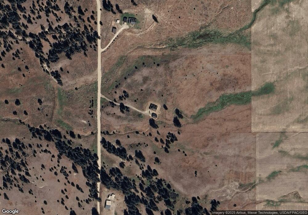
Map
Nearby Homes
- 0 Tbd Stage Coach Trail
- 0 Tbd Evans Ranch Rd Unit NWM2481694
- 1 XX Knox Rd
- 106 Knox Rd
- 0 TBD J H Green Rd
- 5 Moore
- 478 Thompson Rd
- 960X Knox Rd
- 734 Tunk Creek Rd
- 570X Tunk Creek Rd
- 67 W Bannon Creek Rd
- 330 Bench Creek Rd
- 1xx Rocky Canyon Rd Unit 3629220014
- 0 TBD Seahawk Dr
- 0 Tbd Pharr Out - 3 Way Unit NWM2413618
- 0 Tbd Pharr Out Way - 4
- 301 N Main St
- 111 Lower Tower St
- 428 Five Mile Rd
- 0 Tbd Pharr Out Way - 5 Unit NWM2413910
Your Personal Tour Guide
Ask me questions while you tour the home.