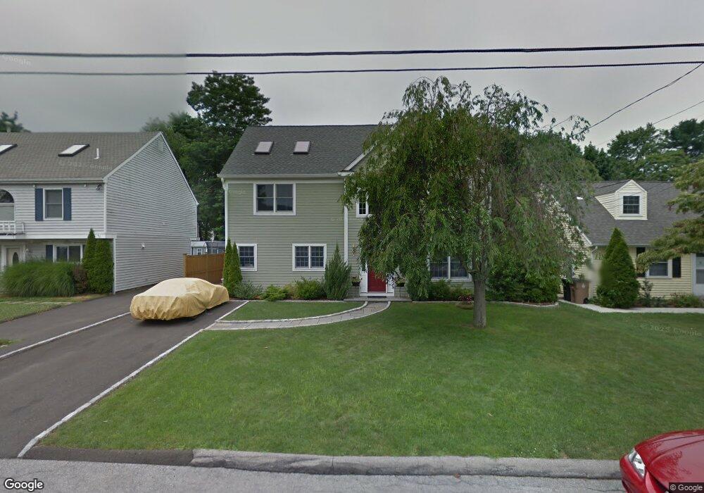
19 Andover Rd Stamford, CT 06902
The Cove NeighborhoodEstimated Value: $833,000 - $1,134,808
4
Beds
3
Baths
3,480
Sq Ft
$286/Sq Ft
Est. Value
About This Home
This home is located at 19 Andover Rd, Stamford, CT 06902 and is currently estimated at $995,452, approximately $286 per square foot. 19 Andover Rd is a home located in Fairfield County with nearby schools including K. T. Murphy Elementary School, Rippowam Middle School, and Stamford High School.
Ownership History
Date
Name
Owned For
Owner Type
Purchase Details
Closed on
Dec 15, 1995
Sold by
Vorvis Richard and Vorvis Michele
Bought by
Phillipson Gregg and Phillipson Vicki Ann
Current Estimated Value
Home Financials for this Owner
Home Financials are based on the most recent Mortgage that was taken out on this home.
Original Mortgage
$140,800
Interest Rate
7.13%
Mortgage Type
Purchase Money Mortgage
Create a Home Valuation Report for This Property
The Home Valuation Report is an in-depth analysis detailing your home's value as well as a comparison with similar homes in the area
Home Values in the Area
Average Home Value in this Area
Purchase History
| Date | Buyer | Sale Price | Title Company |
|---|---|---|---|
| Phillipson Gregg | $176,000 | -- | |
| Phillipson Gregg | $176,000 | -- |
Source: Public Records
Mortgage History
| Date | Status | Borrower | Loan Amount |
|---|---|---|---|
| Open | Phillipson Gregg | $210,000 | |
| Closed | Phillipson Gregg | $140,800 |
Source: Public Records
Tax History Compared to Growth
Tax History
| Year | Tax Paid | Tax Assessment Tax Assessment Total Assessment is a certain percentage of the fair market value that is determined by local assessors to be the total taxable value of land and additions on the property. | Land | Improvement |
|---|---|---|---|---|
| 2025 | $14,014 | $585,870 | $207,250 | $378,620 |
| 2024 | $13,686 | $585,870 | $207,250 | $378,620 |
| 2023 | $14,787 | $585,870 | $207,250 | $378,620 |
| 2022 | $12,673 | $466,450 | $150,180 | $316,270 |
| 2021 | $12,566 | $466,450 | $150,180 | $316,270 |
| 2020 | $12,291 | $466,450 | $150,180 | $316,270 |
| 2019 | $12,291 | $466,450 | $150,180 | $316,270 |
| 2018 | $11,908 | $466,450 | $150,180 | $316,270 |
| 2017 | $11,567 | $430,170 | $123,090 | $307,080 |
| 2016 | $11,236 | $430,170 | $123,090 | $307,080 |
| 2015 | $10,939 | $430,170 | $123,090 | $307,080 |
| 2014 | $10,664 | $430,170 | $123,090 | $307,080 |
Source: Public Records
Map
Nearby Homes
- 36 Middlebury St
- 41 Andover Rd
- 120 Webb Ave
- 15 Mathews St
- 175 Seaside Ave Unit 1
- 105 Houston Terrace
- 97 Waterbury Ave
- 203 Sylvan Knoll Rd
- 465 Sylvan Knoll Rd
- 162 Sylvan Knoll Rd
- 101 Palmer Ave
- 300 Seaside Ave Unit 1E
- 421 Sylvan Knoll Rd
- 375 Sylvan Knoll Rd
- 77 Palmer Ave
- 42 Sylvan Knoll Rd
- 31 Waterbury Ave
- 16 Houston Terrace Unit 1
- 697 Cove Rd Unit 2A
- 55 Avery St