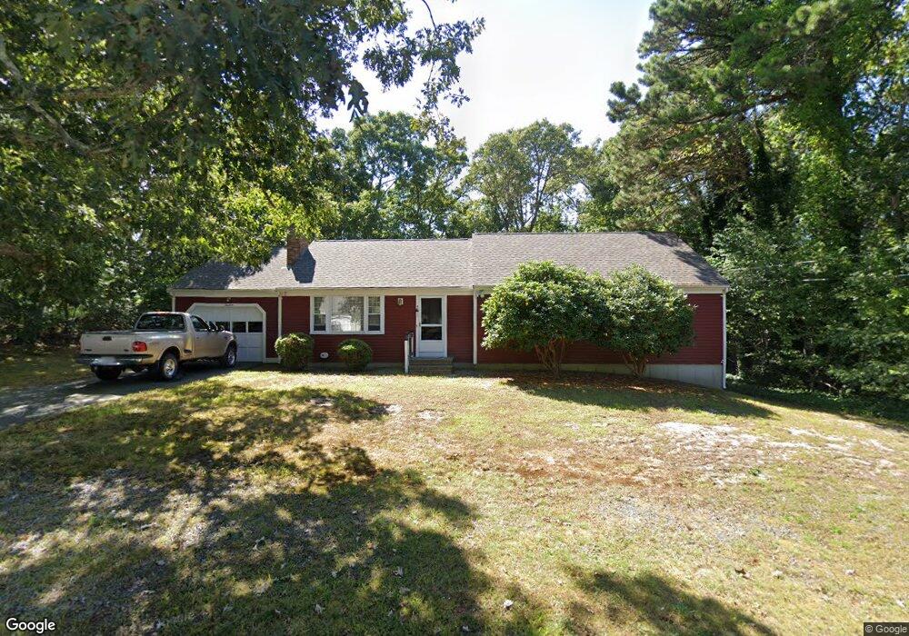
19 Apache Dr Yarmouth Port, MA 02675
Yarmouth Port NeighborhoodEstimated Value: $594,000 - $694,000
3
Beds
2
Baths
1,408
Sq Ft
$461/Sq Ft
Est. Value
About This Home
This home is located at 19 Apache Dr, Yarmouth Port, MA 02675 and is currently estimated at $649,729, approximately $461 per square foot. 19 Apache Dr is a home located in Barnstable County with nearby schools including Dennis-Yarmouth Regional High School.
Create a Home Valuation Report for This Property
The Home Valuation Report is an in-depth analysis detailing your home's value as well as a comparison with similar homes in the area
Home Values in the Area
Average Home Value in this Area
Tax History Compared to Growth
Tax History
| Year | Tax Paid | Tax Assessment Tax Assessment Total Assessment is a certain percentage of the fair market value that is determined by local assessors to be the total taxable value of land and additions on the property. | Land | Improvement |
|---|---|---|---|---|
| 2025 | $4,141 | $584,900 | $169,700 | $415,200 |
| 2024 | $3,903 | $528,800 | $147,600 | $381,200 |
| 2023 | $3,836 | $473,000 | $134,100 | $338,900 |
| 2022 | $3,647 | $397,300 | $128,000 | $269,300 |
| 2021 | $3,402 | $355,900 | $128,000 | $227,900 |
| 2020 | $3,384 | $338,400 | $135,400 | $203,000 |
| 2019 | $3,117 | $308,600 | $135,400 | $173,200 |
| 2018 | $2,943 | $286,000 | $112,800 | $173,200 |
| 2017 | $2,866 | $286,000 | $112,800 | $173,200 |
| 2016 | $2,764 | $277,000 | $103,800 | $173,200 |
| 2015 | $2,587 | $257,700 | $99,300 | $158,400 |
Source: Public Records
Map
Nearby Homes
- 44 Stratford Ln
- 6 Nimble Hill Dr
- 64 Kates Path
- 800 Route 6a
- 800 Route 6a
- 43 Canterbury Rd
- 17 Kates Path Unit A
- 228 Kates Path
- 59 Route 6a Unit 29-4
- 19 John Halls Cartpath Village Unit E
- 19 John Hall Cartway Unit E
- 42 John Hall Cartway Unit 42
- 50 John Hall Cartway
- 50 John Hall Cartway Unit 50
- 21 Boxwood Cir
- 158 Kates Path
- 111 Merchant Ave
- 28 Oak Glen
- 13 Covey Dr
- 25 Oak Glen Village Unit 25