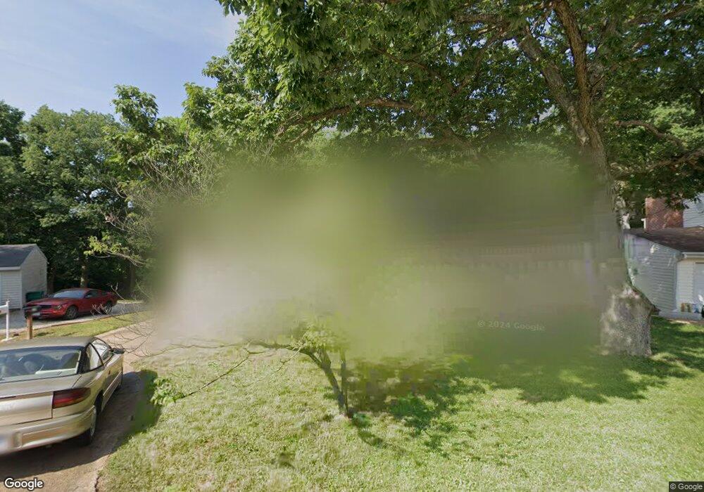
19 Apache Trail Fenton, MO 63026
Estimated Value: $232,000 - $247,440
4
Beds
2
Baths
1,040
Sq Ft
$231/Sq Ft
Est. Value
About This Home
This home is located at 19 Apache Trail, Fenton, MO 63026 and is currently estimated at $240,360, approximately $231 per square foot. 19 Apache Trail is a home located in Jefferson County with nearby schools including Northwest High School, Messenger Christian School, and St. Paul School.
Ownership History
Date
Name
Owned For
Owner Type
Purchase Details
Closed on
Apr 14, 2021
Sold by
Geary Justin D and Geary Amanda L
Bought by
Tomasello Richard
Current Estimated Value
Home Financials for this Owner
Home Financials are based on the most recent Mortgage that was taken out on this home.
Original Mortgage
$168,795
Outstanding Balance
$152,401
Interest Rate
3%
Mortgage Type
VA
Estimated Equity
$87,959
Purchase Details
Closed on
Jan 13, 2015
Sold by
Heinemann Lawrence N and Heinemann Jane F
Bought by
Weber Brett F
Home Financials for this Owner
Home Financials are based on the most recent Mortgage that was taken out on this home.
Original Mortgage
$45,000
Interest Rate
3.93%
Mortgage Type
Purchase Money Mortgage
Purchase Details
Closed on
Jul 10, 1999
Sold by
Heineman Fred and Heineman Jane F
Bought by
Heinemann Jane F
Create a Home Valuation Report for This Property
The Home Valuation Report is an in-depth analysis detailing your home's value as well as a comparison with similar homes in the area
Home Values in the Area
Average Home Value in this Area
Purchase History
| Date | Buyer | Sale Price | Title Company |
|---|---|---|---|
| Tomasello Richard | -- | None Available | |
| Weber Brett F | -- | Htc | |
| Heinemann Jane F | -- | -- |
Source: Public Records
Mortgage History
| Date | Status | Borrower | Loan Amount |
|---|---|---|---|
| Open | Tomasello Richard | $168,795 | |
| Previous Owner | Weber Brett F | $45,000 |
Source: Public Records
Tax History
| Year | Tax Paid | Tax Assessment Tax Assessment Total Assessment is a certain percentage of the fair market value that is determined by local assessors to be the total taxable value of land and additions on the property. | Land | Improvement |
|---|---|---|---|---|
| 2025 | $1,466 | $22,000 | $1,800 | $20,200 |
| 2024 | $1,466 | $20,300 | $1,800 | $18,500 |
| 2023 | $1,466 | $20,300 | $1,800 | $18,500 |
| 2022 | $1,459 | $20,300 | $1,800 | $18,500 |
| 2021 | $1,450 | $20,300 | $1,800 | $18,500 |
| 2020 | $1,420 | $19,400 | $1,400 | $18,000 |
| 2019 | $1,418 | $19,400 | $1,400 | $18,000 |
| 2018 | $1,437 | $19,400 | $1,400 | $18,000 |
| 2016 | $1,201 | $17,600 | $1,500 | $16,100 |
Source: Public Records
Map
Nearby Homes
- 800 Mary Lee Ct
- 100 Orchid Dr Unit 100
- 811 Mary Lee Ct
- 91 Poppy Dr Unit 91
- 818 Mary Lee Ct
- 711 Mosely Ct
- 1230 Summit Meadows Dr
- 53 Lois Ln
- 26 W Lakewood Dr
- 1375 Mosswoods Dr
- 000 Gravois Summit
- 927 Gravois Rd
- 52 Glenwood Dr
- 1273 Green Falls Dr
- 916 Tree Trails Ln
- 946 Tree Trails Ln
- 907 Oak Dr
- 831 Oak Dr
- 1835 San Pedro Ln
- 1029 Ginger Root Dr
- 18 Apache Trail
- 20 Apache Trail
- 17 Apache Trail
- 23 Apache Trail
- 24 Apache Trail
- 21 Apache Trail
- 22 Apache Trail
- 13 Frontier Trail
- 16 Apache Trail
- 8 Chism Trail
- 7 Chism Trail
- 25 Apache Trail
- 12 Frontier Trail
- 9 Chism Trail
- 14 Frontier Trail
- 15 Frontier Trail
- 6 Frontier Trail
- 26 Apache Trail
- 10 Chism Trail
- 27 Apache Trail
Your Personal Tour Guide
Ask me questions while you tour the home.