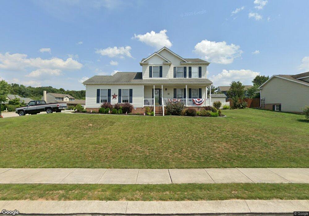
19 Arbor Ln Hanover, PA 17331
Estimated Value: $338,161 - $348,000
3
Beds
3
Baths
1,620
Sq Ft
$212/Sq Ft
Est. Value
About This Home
This home is located at 19 Arbor Ln, Hanover, PA 17331 and is currently estimated at $344,040, approximately $212 per square foot. 19 Arbor Ln is a home located in York County with nearby schools including South Western Senior High School and Hope Christian School Of Hanover.
Ownership History
Date
Name
Owned For
Owner Type
Purchase Details
Closed on
Mar 24, 2005
Sold by
Deardorff Daniel P and Deardorff Jane E
Bought by
Michael Donald E and Michael Theresa A
Current Estimated Value
Home Financials for this Owner
Home Financials are based on the most recent Mortgage that was taken out on this home.
Original Mortgage
$180,000
Outstanding Balance
$91,799
Interest Rate
5.7%
Mortgage Type
Fannie Mae Freddie Mac
Estimated Equity
$252,241
Purchase Details
Closed on
Oct 16, 1996
Bought by
Deardorff Daniel P and Deardorff Jane E
Create a Home Valuation Report for This Property
The Home Valuation Report is an in-depth analysis detailing your home's value as well as a comparison with similar homes in the area
Home Values in the Area
Average Home Value in this Area
Purchase History
| Date | Buyer | Sale Price | Title Company |
|---|---|---|---|
| Michael Donald E | $251,900 | -- | |
| Deardorff Daniel P | $137,400 | -- |
Source: Public Records
Mortgage History
| Date | Status | Borrower | Loan Amount |
|---|---|---|---|
| Open | Michael Donald E | $180,000 |
Source: Public Records
Tax History Compared to Growth
Tax History
| Year | Tax Paid | Tax Assessment Tax Assessment Total Assessment is a certain percentage of the fair market value that is determined by local assessors to be the total taxable value of land and additions on the property. | Land | Improvement |
|---|---|---|---|---|
| 2025 | $5,688 | $168,780 | $39,750 | $129,030 |
| 2024 | $5,688 | $168,780 | $39,750 | $129,030 |
| 2023 | $5,587 | $168,780 | $39,750 | $129,030 |
| 2022 | $5,467 | $168,780 | $39,750 | $129,030 |
| 2021 | $5,168 | $168,780 | $39,750 | $129,030 |
| 2020 | $5,168 | $168,780 | $39,750 | $129,030 |
| 2019 | $5,068 | $168,780 | $39,750 | $129,030 |
| 2018 | $5,002 | $168,780 | $39,750 | $129,030 |
| 2017 | $4,886 | $168,780 | $39,750 | $129,030 |
| 2016 | $0 | $168,780 | $39,750 | $129,030 |
| 2015 | -- | $168,780 | $39,750 | $129,030 |
| 2014 | -- | $168,780 | $39,750 | $129,030 |
Source: Public Records
Map
Nearby Homes
- 2 Astoria Dr
- 345 Jasmine Dr
- 265 Breezewood Dr
- 366 Jasmine Dr
- 113 Timber Ln
- 2287 Grandview Rd
- 36 Overlook Dr
- 103 Overlook Dr
- 3021 Grandview Rd
- 208 Overlook Dr
- 6 Amanda Ave
- 1010 Marietta Ave
- 381 Sonny St
- 125 Northview Dr
- 501 Charles Ave
- 408 Wirt Ave
- 18 Quail Ridge Rd
- 920 Baltimore St
- 758 Bankert Rd
- 917 Baltimore St