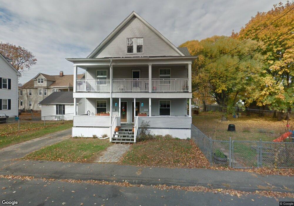
19 Arnodale Ave Unit 21 Holyoke, MA 01040
Estimated Value: $348,168 - $441,000
6
Beds
2
Baths
3,132
Sq Ft
$128/Sq Ft
Est. Value
About This Home
This home is located at 19 Arnodale Ave Unit 21, Holyoke, MA 01040 and is currently estimated at $401,542, approximately $128 per square foot. 19 Arnodale Ave Unit 21 is a home located in Hampden County with nearby schools including Maurice A. Donahue Elementary School, Holyoke High School, and Holyoke Community Charter School.
Ownership History
Date
Name
Owned For
Owner Type
Purchase Details
Closed on
May 13, 2010
Sold by
Naatz Arthur C
Bought by
Naatz Arthur C and Naatz Carrie A
Current Estimated Value
Purchase Details
Closed on
Mar 30, 2001
Sold by
Atchison Kenneth L and Atchison Mary Ellen
Bought by
Naatz Arthur C
Home Financials for this Owner
Home Financials are based on the most recent Mortgage that was taken out on this home.
Original Mortgage
$129,960
Interest Rate
6.96%
Mortgage Type
Purchase Money Mortgage
Create a Home Valuation Report for This Property
The Home Valuation Report is an in-depth analysis detailing your home's value as well as a comparison with similar homes in the area
Home Values in the Area
Average Home Value in this Area
Purchase History
| Date | Buyer | Sale Price | Title Company |
|---|---|---|---|
| Naatz Arthur C | -- | -- | |
| Naatz Arthur C | $132,000 | -- |
Source: Public Records
Mortgage History
| Date | Status | Borrower | Loan Amount |
|---|---|---|---|
| Previous Owner | Naatz Arthur C | $129,960 | |
| Previous Owner | Naatz Arthur C | $55,000 |
Source: Public Records
Tax History
| Year | Tax Paid | Tax Assessment Tax Assessment Total Assessment is a certain percentage of the fair market value that is determined by local assessors to be the total taxable value of land and additions on the property. | Land | Improvement |
|---|---|---|---|---|
| 2025 | $5,509 | $315,500 | $49,300 | $266,200 |
| 2024 | $5,196 | $274,200 | $47,000 | $227,200 |
| 2023 | $4,791 | $255,400 | $47,000 | $208,400 |
| 2022 | $4,815 | $250,000 | $47,000 | $203,000 |
| 2021 | $4,166 | $216,200 | $42,900 | $173,300 |
| 2020 | $3,869 | $202,800 | $42,900 | $159,900 |
| 2019 | $3,787 | $196,300 | $42,900 | $153,400 |
| 2018 | $3,549 | $185,500 | $42,900 | $142,600 |
| 2017 | $3,556 | $185,500 | $42,900 | $142,600 |
| 2016 | $3,449 | $180,400 | $44,100 | $136,300 |
| 2015 | $3,435 | $180,400 | $44,100 | $136,300 |
Source: Public Records
Map
Nearby Homes
- 60 Chapin St Unit D
- 69 Gates St
- 1705-1707 Northampton St
- 140 Sycamore St
- 141 Saint Jerome Ave
- 268-270 Sargeant St
- 2027-2029 Northampton St
- 1684 Northampton St
- 201 Locust St
- 25-27 Elmwood Ave
- 301-303 Linden St
- 21 Francis Ave
- 329 Beech St
- 133-135 Brown Ave
- 41 Lynwood Ave
- 15 Maple Crest Cir Unit D
- 10 View St
- 0 High St
- 26 Vernon St
- 286 Westfield Rd
- 19-21 Arnodale Ave
- 80 Calumet Rd Unit 82
- 86 Calumet Rd Unit 88
- 80 S Bay State Rd
- 85 S Bay State Rd
- 78 S Bay State Rd
- 34 Arnodale Ave
- 61 Bay State Rd
- 1851 Northampton St
- 1857 Northampton St Unit Holyoke, Northampton
- 1857 Northampton St Unit Northampton St
- 36 Arnodale Ave
- 58 Bay State Rd
- 1855 Northampton St Unit 1857
- 70 Calumet Rd
- 1859 Northampton St Unit 1861
- 1859 Northampton St Unit 1
- 1865 Northampton St
- 38 Arnodale Ave
- 59 Bay State Rd
Your Personal Tour Guide
Ask me questions while you tour the home.