19 Bailey Rd Andover, CT 06232
Estimated Value: $334,347 - $388,000
3
Beds
2
Baths
1,296
Sq Ft
$274/Sq Ft
Est. Value
About This Home
This home is located at 19 Bailey Rd, Andover, CT 06232 and is currently estimated at $355,587, approximately $274 per square foot. 19 Bailey Rd is a home located in Tolland County with nearby schools including Andover Elementary School, RHAM Middle School, and RHAM High School.
Ownership History
Date
Name
Owned For
Owner Type
Purchase Details
Closed on
Dec 15, 1997
Sold by
Colwell Patrick and Colwell Mary Lou
Bought by
Hixson Kevin and Morris Theresa
Current Estimated Value
Create a Home Valuation Report for This Property
The Home Valuation Report is an in-depth analysis detailing your home's value as well as a comparison with similar homes in the area
Home Values in the Area
Average Home Value in this Area
Purchase History
| Date | Buyer | Sale Price | Title Company |
|---|---|---|---|
| Hixson Kevin | $147,000 | -- | |
| Hixson Kevin | $147,000 | -- |
Source: Public Records
Mortgage History
| Date | Status | Borrower | Loan Amount |
|---|---|---|---|
| Open | Hixson Kevin | $203,500 | |
| Closed | Hixson Kevin | $216,734 | |
| Closed | Hixson Kevin | $226,400 | |
| Closed | Hixson Kevin | $173,000 |
Source: Public Records
Tax History Compared to Growth
Tax History
| Year | Tax Paid | Tax Assessment Tax Assessment Total Assessment is a certain percentage of the fair market value that is determined by local assessors to be the total taxable value of land and additions on the property. | Land | Improvement |
|---|---|---|---|---|
| 2025 | $4,617 | $146,160 | $35,840 | $110,320 |
| 2024 | $4,598 | $146,160 | $35,840 | $110,320 |
| 2023 | $4,573 | $146,160 | $35,840 | $110,320 |
| 2022 | $4,664 | $146,160 | $35,840 | $110,320 |
| 2021 | $5,051 | $140,300 | $46,300 | $94,000 |
| 2020 | $5,082 | $142,700 | $46,300 | $96,400 |
| 2019 | $4,993 | $142,700 | $46,300 | $96,400 |
| 2018 | $4,845 | $142,700 | $46,300 | $96,400 |
| 2017 | $4,638 | $142,700 | $46,300 | $96,400 |
| 2016 | $4,359 | $141,900 | $46,400 | $95,500 |
| 2015 | $4,359 | $141,900 | $46,400 | $95,500 |
| 2014 | $4,359 | $141,900 | $46,400 | $95,500 |
Source: Public Records
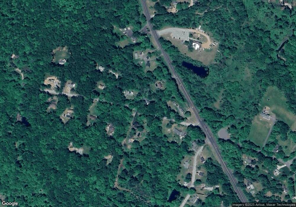
Map
Nearby Homes
- 0 Rr 6 Route Unit 24064143
- 39 Aspinall Dr
- 16 Pine Ridge Dr
- 7 Aspinall Dr
- 38 Aspinall Dr
- 34 Hanover Farms Rd
- 105 School Rd
- 38 John Paul Ln
- 3224 South St
- 0 Skinner Hill Rd Unit 24077239
- 31 Clark Rd
- 53 Castlerock Ln
- 273 Hebron Rd
- 0 Wheeling Rd Unit 24116879
- 78 Bear Swamp Rd
- 0 Us Highway 6
- 869 East St
- 44 Enrico Rd
- 0 Boston Turnpike Unit 24128587
- 1230 Boston Turnpike