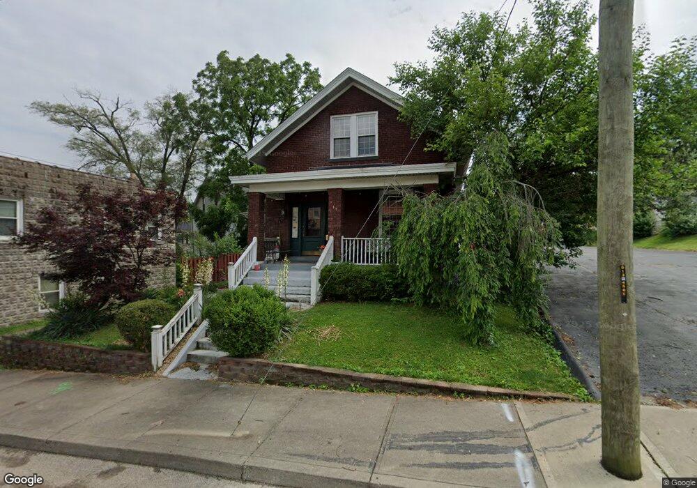
19 Baker Ave Cincinnati, OH 45217
Estimated Value: $185,000 - $208,000
2
Beds
1
Bath
1,406
Sq Ft
$139/Sq Ft
Est. Value
About This Home
This home is located at 19 Baker Ave, Cincinnati, OH 45217 and is currently estimated at $195,072, approximately $138 per square foot. 19 Baker Ave is a home located in Hamilton County with nearby schools including St Bernard Elementary School, St Bernard-Elmwood Place High School, and Horizon Science Academy-Cincinnati.
Ownership History
Date
Name
Owned For
Owner Type
Purchase Details
Closed on
Oct 3, 2014
Sold by
Browne Mary Marlene and Kroger Mary M
Bought by
Doggett Joy L
Current Estimated Value
Home Financials for this Owner
Home Financials are based on the most recent Mortgage that was taken out on this home.
Original Mortgage
$71,200
Outstanding Balance
$22,071
Interest Rate
4.09%
Mortgage Type
New Conventional
Estimated Equity
$173,001
Purchase Details
Closed on
Feb 1, 1995
Sold by
Asbach Charlene and Bennett Barbara
Bought by
Kroger Mary M
Home Financials for this Owner
Home Financials are based on the most recent Mortgage that was taken out on this home.
Original Mortgage
$56,000
Interest Rate
9.13%
Create a Home Valuation Report for This Property
The Home Valuation Report is an in-depth analysis detailing your home's value as well as a comparison with similar homes in the area
Home Values in the Area
Average Home Value in this Area
Purchase History
| Date | Buyer | Sale Price | Title Company |
|---|---|---|---|
| Doggett Joy L | $75,000 | Attorney | |
| Kroger Mary M | -- | -- |
Source: Public Records
Mortgage History
| Date | Status | Borrower | Loan Amount |
|---|---|---|---|
| Open | Doggett Joy L | $71,200 | |
| Previous Owner | Kroger Mary M | $56,000 |
Source: Public Records
Tax History
| Year | Tax Paid | Tax Assessment Tax Assessment Total Assessment is a certain percentage of the fair market value that is determined by local assessors to be the total taxable value of land and additions on the property. | Land | Improvement |
|---|---|---|---|---|
| 2025 | $2,830 | $45,948 | $11,025 | $34,923 |
| 2024 | $2,717 | $45,948 | $11,025 | $34,923 |
| 2023 | $2,831 | $45,948 | $11,025 | $34,923 |
| 2022 | $2,435 | $30,713 | $8,600 | $22,113 |
| 2021 | $2,375 | $30,713 | $8,600 | $22,113 |
| 2020 | $2,349 | $30,713 | $8,600 | $22,113 |
| 2019 | $2,183 | $26,250 | $7,350 | $18,900 |
| 2018 | $2,218 | $26,250 | $7,350 | $18,900 |
| 2017 | $2,055 | $26,250 | $7,350 | $18,900 |
| 2016 | $2,283 | $29,226 | $8,313 | $20,913 |
| 2015 | $2,147 | $29,226 | $8,313 | $20,913 |
| 2014 | $1,491 | $29,226 | $8,313 | $20,913 |
| 2013 | $1,561 | $30,762 | $8,750 | $22,012 |
Source: Public Records
Map
Nearby Homes
- 27 Phillips Ave
- 4546 Leo St
- 4525 Vine St
- 218 Washington Ave
- 4251 Leonard Ave
- 316 Mcclelland Ave
- 4238 Leonard Ave
- 320 Mcclelland Ave
- 421 Jefferson Ave
- 4259 Vine St
- 4910 Greenlee Ave
- 36 Wuest St
- 4235 Vine St
- 318 E Mitchell Ave
- 38 Clinton Springs Ave
- 24 Parkwood Place
- 710 E Ross Ave
- 5128 Imwalle Ave
- 3923 Wess Park Dr
- 5140 1/2 Imwalle Ave
Your Personal Tour Guide
Ask me questions while you tour the home.