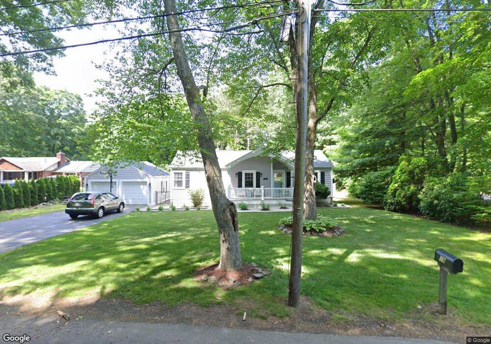
19 Bartlett Ave Wilbraham, MA 01095
Estimated Value: $333,428 - $416,000
3
Beds
1
Bath
1,120
Sq Ft
$340/Sq Ft
Est. Value
About This Home
This home is located at 19 Bartlett Ave, Wilbraham, MA 01095 and is currently estimated at $380,357, approximately $339 per square foot. 19 Bartlett Ave is a home located in Hampden County with nearby schools including Minnechaug Regional High School, St John The Baptist School, and Wilbraham & Monson Academy.
Ownership History
Date
Name
Owned For
Owner Type
Purchase Details
Closed on
May 21, 2009
Sold by
Wiley Kevin C and Wiley Kristina M
Bought by
Shattuck Daniel J and Peters Meaghan E
Current Estimated Value
Home Financials for this Owner
Home Financials are based on the most recent Mortgage that was taken out on this home.
Original Mortgage
$200,450
Outstanding Balance
$127,193
Interest Rate
4.93%
Estimated Equity
$253,164
Create a Home Valuation Report for This Property
The Home Valuation Report is an in-depth analysis detailing your home's value as well as a comparison with similar homes in the area
Home Values in the Area
Average Home Value in this Area
Purchase History
| Date | Buyer | Sale Price | Title Company |
|---|---|---|---|
| Shattuck Daniel J | $211,000 | -- |
Source: Public Records
Mortgage History
| Date | Status | Borrower | Loan Amount |
|---|---|---|---|
| Open | Shattuck Daniel J | $200,450 |
Source: Public Records
Tax History
| Year | Tax Paid | Tax Assessment Tax Assessment Total Assessment is a certain percentage of the fair market value that is determined by local assessors to be the total taxable value of land and additions on the property. | Land | Improvement |
|---|---|---|---|---|
| 2025 | $5,146 | $287,800 | $76,900 | $210,900 |
| 2024 | $5,113 | $276,400 | $76,900 | $199,500 |
| 2023 | $4,797 | $267,500 | $76,900 | $190,600 |
| 2022 | $4,797 | $234,100 | $76,900 | $157,200 |
| 2021 | $4,496 | $195,800 | $83,100 | $112,700 |
| 2020 | $4,382 | $195,800 | $83,100 | $112,700 |
| 2019 | $3,822 | $175,300 | $83,100 | $92,200 |
| 2018 | $3,652 | $161,300 | $83,100 | $78,200 |
| 2017 | $3,549 | $161,300 | $83,100 | $78,200 |
| 2016 | $3,363 | $155,700 | $82,800 | $72,900 |
| 2015 | $3,251 | $155,700 | $82,800 | $72,900 |
Source: Public Records
Map
Nearby Homes
- 36 Maple St
- 1 Aspen Dr
- 172 Main St
- 35 Lake Dr
- 38 King Dr
- 8 High Pine Cir
- 80 Elizabeth Dr
- 104 High Pine Cir
- 37 Balsam Hill Rd
- 474-480 Mountain Rd
- 44 Balsam Hill Rd
- Lot 88 Turning Leaf Equinox Pass
- 20 Old Orchard Rd
- 125 Pondview Dr
- 46 Washington Rd
- 474 Mountain Rd
- 5 Silver St
- 229 Miller St Unit F-13
- 229 Miller St Unit C-1
- 229 Miller St Unit E-6
- 23 Bartlett Ave
- 16 Bartlett Ave
- 111 Mountain Rd
- 27 Bartlett Ave
- 99 Mountain Rd
- 2 Willow Rd
- 4 Patriot Ridge Ln
- 5 Willow Rd
- 3 Patriot Ridge Ln
- 115 Mountain Rd
- 10 Willow Rd
- 6 Willow Rd
- 9 Willow Rd
- 7 Willow Rd
- 5 Patriot Ridge Ln
- 6 Patriot Ridge Ln
- 86 Mountain Rd
- 88 Mountain Rd
- 119 Mountain Rd
- 53 Bartlett Ave Unit 55
Your Personal Tour Guide
Ask me questions while you tour the home.