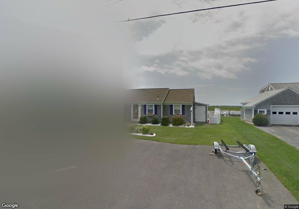
19 Beach View Rd West Dennis, MA 02670
West Dennis NeighborhoodEstimated Value: $1,525,000 - $2,093,708
3
Beds
3
Baths
1,804
Sq Ft
$1,005/Sq Ft
Est. Value
About This Home
This home is located at 19 Beach View Rd, West Dennis, MA 02670 and is currently estimated at $1,813,677, approximately $1,005 per square foot. 19 Beach View Rd is a home located in Barnstable County with nearby schools including Dennis-Yarmouth Regional High School and St. Pius X. School.
Ownership History
Date
Name
Owned For
Owner Type
Purchase Details
Closed on
Jan 9, 2017
Sold by
Donahue Judith L
Bought by
Judith L Donahue 2016
Current Estimated Value
Purchase Details
Closed on
May 4, 1989
Sold by
Downes Margaret T
Bought by
Cape Yankee Prop T
Home Financials for this Owner
Home Financials are based on the most recent Mortgage that was taken out on this home.
Original Mortgage
$170,000
Interest Rate
11.13%
Mortgage Type
Purchase Money Mortgage
Create a Home Valuation Report for This Property
The Home Valuation Report is an in-depth analysis detailing your home's value as well as a comparison with similar homes in the area
Home Values in the Area
Average Home Value in this Area
Purchase History
| Date | Buyer | Sale Price | Title Company |
|---|---|---|---|
| Judith L Donahue 2016 | -- | -- | |
| Cape Yankee Prop T | $300,000 | -- |
Source: Public Records
Mortgage History
| Date | Status | Borrower | Loan Amount |
|---|---|---|---|
| Previous Owner | Cape Yankee Prop T | $170,000 |
Source: Public Records
Tax History Compared to Growth
Tax History
| Year | Tax Paid | Tax Assessment Tax Assessment Total Assessment is a certain percentage of the fair market value that is determined by local assessors to be the total taxable value of land and additions on the property. | Land | Improvement |
|---|---|---|---|---|
| 2025 | $8,039 | $1,856,500 | $1,167,000 | $689,500 |
| 2024 | $7,847 | $1,787,400 | $1,122,300 | $665,100 |
| 2023 | $7,616 | $1,630,900 | $1,020,200 | $610,700 |
| 2022 | $6,929 | $1,237,300 | $808,800 | $428,500 |
| 2021 | $7,146 | $1,185,000 | $792,900 | $392,100 |
| 2020 | $7,010 | $1,149,200 | $792,900 | $356,300 |
| 2019 | $6,755 | $1,094,800 | $777,400 | $317,400 |
| 2018 | $92 | $1,025,300 | $740,000 | $285,300 |
| 2017 | $6,009 | $977,100 | $700,700 | $276,400 |
| 2016 | $6,577 | $1,007,200 | $779,200 | $228,000 |
| 2015 | $6,396 | $999,300 | $779,200 | $220,100 |
| 2014 | $6,346 | $999,300 | $779,200 | $220,100 |
Source: Public Records
Map
Nearby Homes
- 2 Rita Mary Way
- 178 School St
- 14 Schoolhouse Ln
- 209 Main St Unit 3
- 209 Main St Unit 6
- 209 Main St Unit 1
- 209 Main St Unit 2
- 209 Main St Unit 4
- 209 Main St Unit 5
- 23 Doric Ave
- 401 Main St Unit 201
- 401 Main St Unit 101
- 6 Baker Way
- 181 Pleasant St
- 308 Old Main St
- 467 Main St
- 45 Seth Ln
- 61 Trotters Ln
- 40 Kelley Rd
- 29 Bass River Rd
- 17 Beach View Rd
- 23 Beach View Rd
- 20 Beach View Rd
- 13 Beach View Rd
- 29 Beach View Rd
- 12 Beach View Rd
- 9 Beach View Rd
- 33 Beach View Rd
- 81 Surfside Rd
- 85 Surfside Rd
- 75 Surfside Rd
- 8 Beach View Rd
- 32 Beach View Rd
- 89 Surfside Rd
- 3 Beach View Rd
- 69 Surfside Rd
- 4 Beach View Rd
- 93 Surfside Rd
- 82 Surfside Rd
- 78 Surfside Rd