19 Beartown Rd Port Crane, NY 13833
Estimated Value: $186,000 - $234,000
3
Beds
1
Bath
1,760
Sq Ft
$121/Sq Ft
Est. Value
About This Home
This home is located at 19 Beartown Rd, Port Crane, NY 13833 and is currently estimated at $213,753, approximately $121 per square foot. 19 Beartown Rd is a home located in Broome County with nearby schools including Chenango Forks Elementary School, Chenango Forks Middle School, and Chenango Forks High School.
Ownership History
Date
Name
Owned For
Owner Type
Purchase Details
Closed on
Apr 6, 2011
Sold by
Evans Nellie L
Bought by
Haven David A and Haven Kelly M
Current Estimated Value
Purchase Details
Closed on
Aug 11, 2000
Sold by
Page Lorie A
Bought by
Evans Nellie L
Create a Home Valuation Report for This Property
The Home Valuation Report is an in-depth analysis detailing your home's value as well as a comparison with similar homes in the area
Home Values in the Area
Average Home Value in this Area
Purchase History
| Date | Buyer | Sale Price | Title Company |
|---|---|---|---|
| Haven David A | -- | None Available | |
| Evans Nellie L | $89,000 | Kenneth Tomko |
Source: Public Records
Tax History Compared to Growth
Tax History
| Year | Tax Paid | Tax Assessment Tax Assessment Total Assessment is a certain percentage of the fair market value that is determined by local assessors to be the total taxable value of land and additions on the property. | Land | Improvement |
|---|---|---|---|---|
| 2024 | $4,474 | $81,000 | $18,000 | $63,000 |
| 2023 | $4,253 | $81,000 | $18,000 | $63,000 |
| 2022 | $4,249 | $81,000 | $18,000 | $63,000 |
| 2021 | $4,267 | $81,000 | $18,000 | $63,000 |
| 2020 | $4,150 | $81,000 | $18,000 | $63,000 |
| 2019 | -- | $81,000 | $18,000 | $63,000 |
| 2018 | $4,250 | $81,000 | $18,000 | $63,000 |
| 2017 | $4,211 | $81,000 | $18,000 | $63,000 |
| 2016 | $4,105 | $81,000 | $18,000 | $63,000 |
| 2015 | -- | $81,000 | $18,000 | $63,000 |
| 2014 | -- | $81,000 | $18,000 | $63,000 |
Source: Public Records
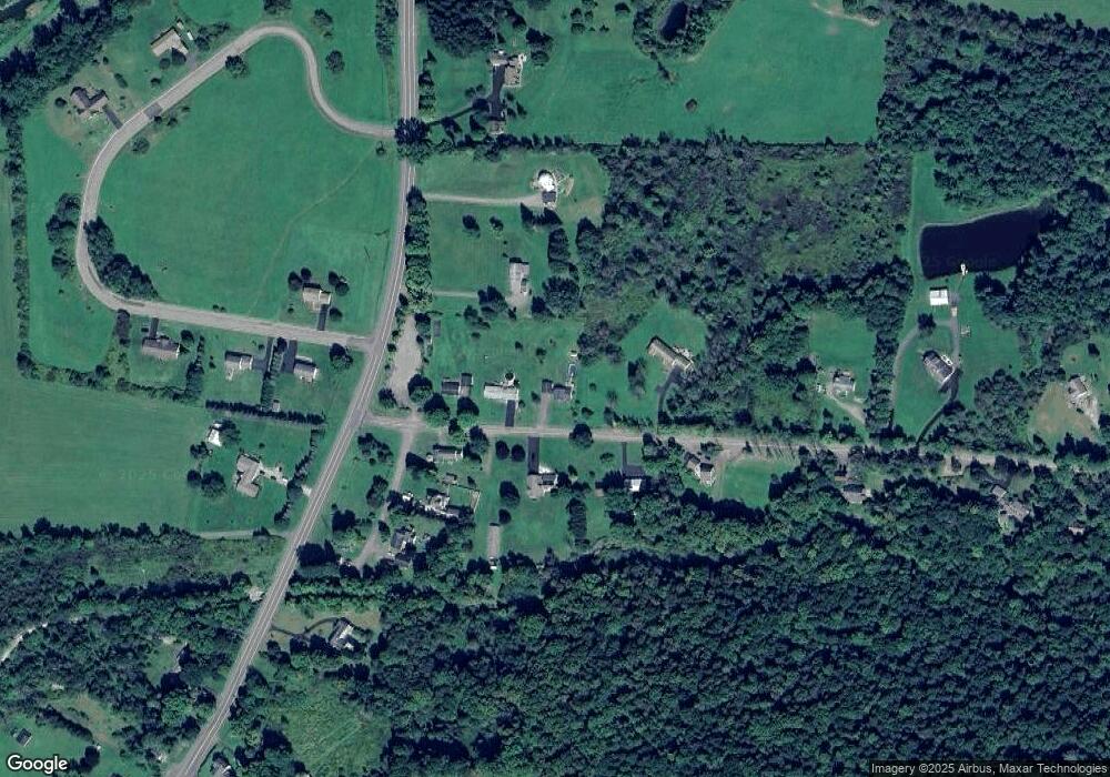
Map
Nearby Homes
- 4 Beartown Rd
- 1092 State Route 369
- 120 Steed Rd
- 142 Marshman Rd
- 68 Marshman Rd
- 304 Monkey Run Rd
- 15 River Ln
- 101 Palmer Hill Rd
- 404 Ballyhack Rd
- 13 Parsons Rd
- 6633 State Route 79
- 248 County Road 1
- 6667 State Route 79
- 115 Iona Ln
- 330 Palmer Hill Rd
- 198 Conklin Hill Rd
- 226 Knapp Hill Rd
- 309 Parsons Rd
- 20 Teeburn Blvd
- 1 Asbury Ave
- 13 Beartown Rd
- 16 Beartown Rd
- 28 Beartown Rd
- 7 Beartown Rd
- 29 Beartown Rd
- 8 Beartown Rd
- 1248 State Route 369 Unit NYS
- 40 Beartown Rd
- 6 Beartown Rd
- 10 Beartown Rd
- 1254 State Route 369 Unit NYS
- 1 Brookside Ln
- 2 Brookside Ln
- 1214 State Route 369 Unit NYS
- 45 Beartown Rd
- 54 Beartown Rd
- 1219 State Route 369 Unit NYS
- 1268 State Route 369 Unit NYS
- 1206 State Route 369 Unit NYS
- 3 Brookside Ln