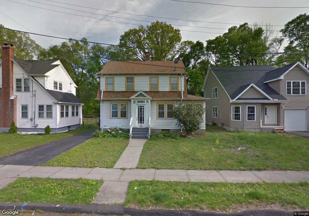
19 Bellew Rd East Hartford, CT 06108
Estimated Value: $296,877 - $313,000
3
Beds
2
Baths
1,435
Sq Ft
$213/Sq Ft
Est. Value
About This Home
This home is located at 19 Bellew Rd, East Hartford, CT 06108 and is currently estimated at $305,969, approximately $213 per square foot. 19 Bellew Rd is a home located in Hartford County with nearby schools including Dr. John A. Langford School, East Hartford Middle School, and East Hartford High School.
Ownership History
Date
Name
Owned For
Owner Type
Purchase Details
Closed on
Dec 29, 2006
Sold by
Mandry Mildred
Bought by
Haskell Dennis W
Current Estimated Value
Home Financials for this Owner
Home Financials are based on the most recent Mortgage that was taken out on this home.
Original Mortgage
$144,000
Outstanding Balance
$86,436
Interest Rate
6.29%
Estimated Equity
$219,533
Purchase Details
Closed on
Aug 25, 2003
Sold by
Yamamoto Prescille E
Bought by
Mandry Mildred
Home Financials for this Owner
Home Financials are based on the most recent Mortgage that was taken out on this home.
Original Mortgage
$121,900
Interest Rate
5.52%
Create a Home Valuation Report for This Property
The Home Valuation Report is an in-depth analysis detailing your home's value as well as a comparison with similar homes in the area
Home Values in the Area
Average Home Value in this Area
Purchase History
| Date | Buyer | Sale Price | Title Company |
|---|---|---|---|
| Haskell Dennis W | $180,000 | -- | |
| Mandry Mildred | $129,900 | -- |
Source: Public Records
Mortgage History
| Date | Status | Borrower | Loan Amount |
|---|---|---|---|
| Open | Mandry Mildred | $144,000 | |
| Closed | Mandry Mildred | $36,000 | |
| Previous Owner | Mandry Mildred | $121,900 |
Source: Public Records
Tax History Compared to Growth
Tax History
| Year | Tax Paid | Tax Assessment Tax Assessment Total Assessment is a certain percentage of the fair market value that is determined by local assessors to be the total taxable value of land and additions on the property. | Land | Improvement |
|---|---|---|---|---|
| 2025 | $6,002 | $130,760 | $37,560 | $93,200 |
| 2024 | $5,753 | $130,760 | $37,560 | $93,200 |
| 2023 | $5,563 | $130,760 | $37,560 | $93,200 |
| 2022 | $5,361 | $130,760 | $37,560 | $93,200 |
| 2021 | $5,059 | $102,510 | $28,460 | $74,050 |
| 2020 | $5,117 | $102,510 | $28,460 | $74,050 |
| 2019 | $5,034 | $102,510 | $28,460 | $74,050 |
| 2018 | $4,886 | $102,510 | $28,460 | $74,050 |
| 2017 | $4,823 | $102,510 | $28,460 | $74,050 |
| 2016 | $4,568 | $99,610 | $26,110 | $73,500 |
| 2015 | $4,568 | $99,610 | $26,110 | $73,500 |
| 2014 | $4,522 | $99,610 | $26,110 | $73,500 |
Source: Public Records
Map
Nearby Homes
- 509 Burnside Ave Unit A18
- 506 Burnside Ave
- 421 Tolland St
- 421 Tolland St Unit 209
- 51 Daniel St
- 453 Burnside Ave
- 15 Michael Ave
- 89 Henderson Dr
- 59 Laraia Ave
- 22 Matthew Rd
- 40 Larrabee St
- 30 Oakwood St
- 67 Laurel St
- 73 Bliss St
- 265 Burnside Ave
- 10 Kenyon Place
- 8 Howard Ct Unit 10
- 29 Joanne Dr Unit 29
- 26 Casabella Cir Unit 28
- 181 Burnside Ave