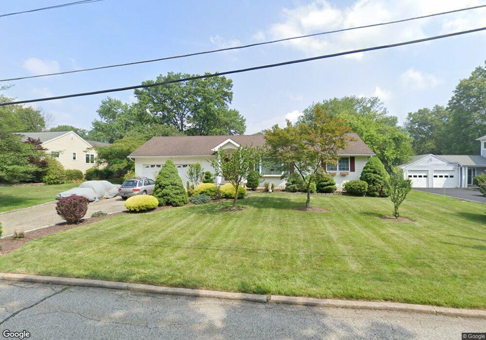
19 Berkshire St Whippany, NJ 07981
Estimated Value: $699,000 - $866,000
--
Bed
--
Bath
2,200
Sq Ft
$352/Sq Ft
Est. Value
About This Home
This home is located at 19 Berkshire St, Whippany, NJ 07981 and is currently estimated at $774,529, approximately $352 per square foot. 19 Berkshire St is a home located in Morris County with nearby schools including Whippany Park High School, Arrow Academy, and The Morristown-Beard School.
Ownership History
Date
Name
Owned For
Owner Type
Purchase Details
Closed on
Jun 15, 2000
Sold by
Sgroi Philip A
Bought by
Bozzi Francesco and Bozzi Laura
Current Estimated Value
Purchase Details
Closed on
Mar 2, 2000
Sold by
Estate Of Mary Eriksen and Eriksen Richard E
Bought by
Sgroi Philip A
Home Financials for this Owner
Home Financials are based on the most recent Mortgage that was taken out on this home.
Original Mortgage
$165,000
Interest Rate
8.26%
Mortgage Type
Purchase Money Mortgage
Create a Home Valuation Report for This Property
The Home Valuation Report is an in-depth analysis detailing your home's value as well as a comparison with similar homes in the area
Home Values in the Area
Average Home Value in this Area
Purchase History
| Date | Buyer | Sale Price | Title Company |
|---|---|---|---|
| Bozzi Francesco | $255,000 | -- | |
| Sgroi Philip A | $220,000 | Lawyers Title Insurance Corp |
Source: Public Records
Mortgage History
| Date | Status | Borrower | Loan Amount |
|---|---|---|---|
| Previous Owner | Sgroi Philip A | $165,000 |
Source: Public Records
Tax History Compared to Growth
Tax History
| Year | Tax Paid | Tax Assessment Tax Assessment Total Assessment is a certain percentage of the fair market value that is determined by local assessors to be the total taxable value of land and additions on the property. | Land | Improvement |
|---|---|---|---|---|
| 2025 | $9,695 | $459,900 | $212,200 | $247,700 |
| 2024 | $9,653 | $459,900 | $212,200 | $247,700 |
| 2023 | $9,653 | $459,900 | $212,200 | $247,700 |
| 2022 | $8,830 | $459,900 | $212,200 | $247,700 |
| 2021 | $8,830 | $459,900 | $212,200 | $247,700 |
| 2020 | $8,674 | $459,900 | $212,200 | $247,700 |
| 2019 | $8,701 | $459,900 | $212,200 | $247,700 |
| 2018 | $8,550 | $459,900 | $212,200 | $247,700 |
| 2017 | $8,297 | $459,900 | $212,200 | $247,700 |
| 2016 | $8,177 | $459,900 | $212,200 | $247,700 |
| 2015 | $7,851 | $459,900 | $212,200 | $247,700 |
| 2014 | $7,680 | $459,900 | $212,200 | $247,700 |
Source: Public Records
Map
Nearby Homes
- 7 Berkshire St
- 92 Sunrise Dr
- 16 Nantes Rd
- 11 Nemic Ln
- 39 Lefke Ln
- 2 Dunkirk Dr
- 96 Parsippany Rd
- 45 Polhemus Terrace
- 26 Gladstone Ct
- 34 Gladstone Ct
- 14 Gladstone Ct
- 23 Gladstone Ct
- 42 Gladstone Ct
- Monterey Plan at The Grove - The Monterey Collection
- Pershing Plan at The Grove - The Pershing Collection
- 67 Parsippany Rd
- 26 David Dr
- 91 Rhyan Dr
- 79 Rhyan Dr
- 72 Schindler Ct
- 17 Berkshire St
- 21 Berkshire St
- 18 Alanon St
- 204 Dorchester St
- 16 Alanon St
- 20 Alanon St
- 15 Berkshire St
- 20 Berkshire St
- 14 Alanon St
- 22 Berkshire St
- 25 Berkshire St
- 202 Dorchester St
- 205 Dorchester St
- 11 Berkshire St
- 22 Alanon St
- 12 Alanon St
- 19 Alanon St
- 203 Dorchester St
- 21 Alanon St
- 17 Alanon St