19 Betty Ln Royersford, PA 19468
Limerick Township NeighborhoodEstimated Value: $362,000 - $413,000
3
Beds
2
Baths
1,238
Sq Ft
$308/Sq Ft
Est. Value
About This Home
This home is located at 19 Betty Ln, Royersford, PA 19468 and is currently estimated at $381,367, approximately $308 per square foot. 19 Betty Ln is a home located in Montgomery County with nearby schools including Evans Elementary School, Spring-Ford Middle School 8th Grade Center, and Spring-Ford Middle School 5/6/7 Grade Center.
Ownership History
Date
Name
Owned For
Owner Type
Purchase Details
Closed on
Dec 2, 2024
Sold by
Gould Teresa A and Thornton Elizabeth R
Bought by
Thornton Elizabeth R
Current Estimated Value
Purchase Details
Closed on
Jan 20, 1989
Bought by
Gould Roy L and Gould Teresa A
Create a Home Valuation Report for This Property
The Home Valuation Report is an in-depth analysis detailing your home's value as well as a comparison with similar homes in the area
Home Values in the Area
Average Home Value in this Area
Purchase History
| Date | Buyer | Sale Price | Title Company |
|---|---|---|---|
| Thornton Elizabeth R | $367,540 | None Listed On Document | |
| Thornton Elizabeth R | $367,540 | None Listed On Document | |
| Gould Roy L | $115,000 | -- |
Source: Public Records
Tax History Compared to Growth
Tax History
| Year | Tax Paid | Tax Assessment Tax Assessment Total Assessment is a certain percentage of the fair market value that is determined by local assessors to be the total taxable value of land and additions on the property. | Land | Improvement |
|---|---|---|---|---|
| 2025 | $4,258 | $110,100 | $42,710 | $67,390 |
| 2024 | $4,258 | $110,100 | $42,710 | $67,390 |
| 2023 | $4,061 | $110,100 | $42,710 | $67,390 |
| 2022 | $3,924 | $110,100 | $42,710 | $67,390 |
| 2021 | $3,832 | $110,100 | $42,710 | $67,390 |
| 2020 | $3,735 | $110,100 | $42,710 | $67,390 |
| 2019 | $3,667 | $110,100 | $42,710 | $67,390 |
| 2018 | $2,756 | $110,100 | $42,710 | $67,390 |
| 2017 | $3,599 | $110,100 | $42,710 | $67,390 |
| 2016 | $3,555 | $110,100 | $42,710 | $67,390 |
| 2015 | $3,403 | $110,100 | $42,710 | $67,390 |
| 2014 | $3,403 | $110,100 | $42,710 | $67,390 |
Source: Public Records
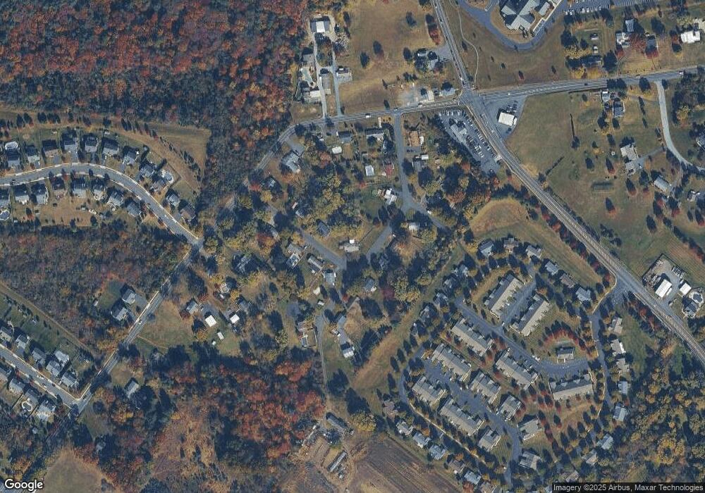
Map
Nearby Homes
- 94 Presidential Dr
- 172 Oak Creek Dr
- 300 Deer Run Ct
- 160 Deer Run Ct
- 180 Deer Run Ct
- 790 Doe Ct
- 609 Village Way
- 601 Village Way
- 405 Village Way
- 0 Steinmetz Rd
- 107 Carver Ln
- 169 Larrabee Way
- 150 Larrabee Way
- 0 N Limerick Rd
- 0 Industrial Pkwy Unit PAMC2142810
- 787 N Lewis Rd
- 5503 Drawbridge Ct
- 5506 Drawbridge Ct
- 107 Walker Rd
- 59 Houck Rd