19 Blake St Mattapan, MA 02126
Hyde Park NeighborhoodEstimated Value: $833,000 - $912,000
5
Beds
3
Baths
2,803
Sq Ft
$307/Sq Ft
Est. Value
About This Home
This home is located at 19 Blake St, Mattapan, MA 02126 and is currently estimated at $861,007, approximately $307 per square foot. 19 Blake St is a home located in Suffolk County with nearby schools including Boston Preparatory Charter Public School and New Beginnings Academy.
Ownership History
Date
Name
Owned For
Owner Type
Purchase Details
Closed on
Feb 13, 1995
Sold by
Daly Janet M and Daly Timothy J
Bought by
Gill Leonard F and Gill Heather M
Current Estimated Value
Create a Home Valuation Report for This Property
The Home Valuation Report is an in-depth analysis detailing your home's value as well as a comparison with similar homes in the area
Home Values in the Area
Average Home Value in this Area
Purchase History
| Date | Buyer | Sale Price | Title Company |
|---|---|---|---|
| Gill Leonard F | $133,900 | -- |
Source: Public Records
Mortgage History
| Date | Status | Borrower | Loan Amount |
|---|---|---|---|
| Open | Gill Leonard F | $374,800 | |
| Closed | Gill Leonard F | $314,400 | |
| Closed | Gill Leonard F | $229,450 |
Source: Public Records
Tax History Compared to Growth
Tax History
| Year | Tax Paid | Tax Assessment Tax Assessment Total Assessment is a certain percentage of the fair market value that is determined by local assessors to be the total taxable value of land and additions on the property. | Land | Improvement |
|---|---|---|---|---|
| 2025 | $8,748 | $755,400 | $205,300 | $550,100 |
| 2024 | $7,719 | $708,200 | $186,300 | $521,900 |
| 2023 | $7,111 | $662,100 | $174,200 | $487,900 |
| 2022 | $6,669 | $613,000 | $161,300 | $451,700 |
| 2021 | $6,229 | $583,800 | $153,600 | $430,200 |
| 2020 | $5,850 | $554,000 | $135,800 | $418,200 |
| 2019 | $5,417 | $513,900 | $106,400 | $407,500 |
| 2018 | $4,894 | $467,000 | $106,400 | $360,600 |
| 2017 | $4,539 | $428,600 | $106,400 | $322,200 |
| 2016 | $4,447 | $404,300 | $106,400 | $297,900 |
| 2015 | $4,223 | $348,700 | $118,600 | $230,100 |
| 2014 | $3,868 | $307,500 | $118,600 | $188,900 |
Source: Public Records
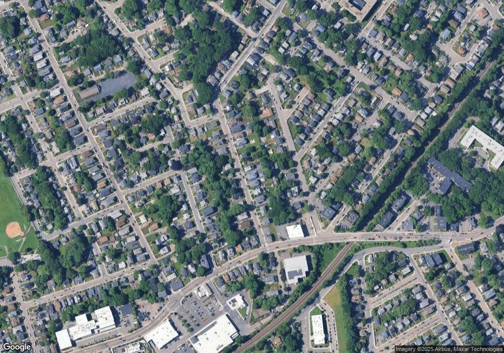
Map
Nearby Homes
- 7 Winborough St
- 25 Alpine St Unit 7
- 0 Tina Ave
- 23 Caton St
- 34 Ridlon Rd
- 42 Osceola St
- 20 Massasoit St
- 645 River St
- 90 Hollingsworth St
- 265 Hebron St
- 839-843 Cummins Hwy
- 27 Lexington Ave
- 16 Concord Ave Unit 1
- 48-50 Rockdale St
- 112 Brush Hill Rd
- 656-658 E Metropolitan Ave
- 770 Cummins Hwy Unit 1
- 770 Cummins Hwy Unit 22
- 179 Hebron St
- 231 Itasca St
- 21 Blake St
- 23 Blake St
- 3 Tracton Ave
- 13 Blake St Unit 15
- 25 Blake St
- 2 Tracton Ave Unit 2
- 2 Tracton Ave Unit 1
- 1 Tracton Ave
- 11 Blake St
- 18 Blake St
- 20 Blake St
- 11 Blake St Unit 1
- 11 Blake St Unit 2
- 11 Blake St
- 28 Tileston St Unit 30
- 6 Linden Ave
- 29 Blake St Unit 2
- 24 Blake St
- 36 Tileston St
- 36A Tileston St