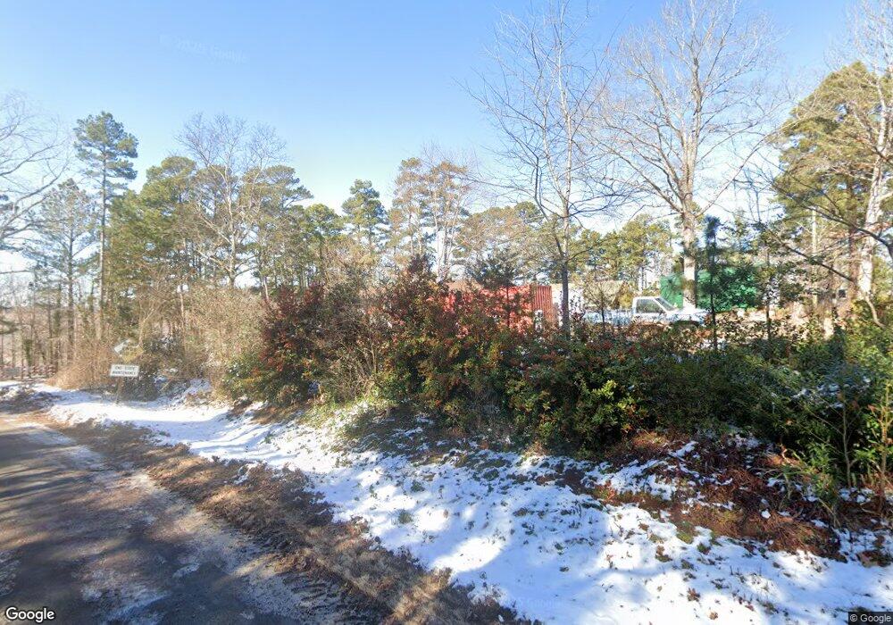
19 Bluestone Cir Clarksville, VA 23927
Estimated Value: $413,156 - $692,000
3
Beds
2
Baths
1,104
Sq Ft
$474/Sq Ft
Est. Value
About This Home
This home is located at 19 Bluestone Cir, Clarksville, VA 23927 and is currently estimated at $523,289, approximately $473 per square foot. 19 Bluestone Cir is a home located in Mecklenburg County.
Ownership History
Date
Name
Owned For
Owner Type
Purchase Details
Closed on
Mar 25, 2013
Sold by
Kirk Patrick A and Grove Moira F
Bought by
Ray Samuel K
Current Estimated Value
Home Financials for this Owner
Home Financials are based on the most recent Mortgage that was taken out on this home.
Original Mortgage
$224,000
Outstanding Balance
$158,285
Interest Rate
3.57%
Mortgage Type
New Conventional
Estimated Equity
$365,004
Create a Home Valuation Report for This Property
The Home Valuation Report is an in-depth analysis detailing your home's value as well as a comparison with similar homes in the area
Home Values in the Area
Average Home Value in this Area
Purchase History
| Date | Buyer | Sale Price | Title Company |
|---|---|---|---|
| Ray Samuel K | $319,000 | -- |
Source: Public Records
Mortgage History
| Date | Status | Borrower | Loan Amount |
|---|---|---|---|
| Open | Ray Samuel K | $224,000 |
Source: Public Records
Tax History Compared to Growth
Tax History
| Year | Tax Paid | Tax Assessment Tax Assessment Total Assessment is a certain percentage of the fair market value that is determined by local assessors to be the total taxable value of land and additions on the property. | Land | Improvement |
|---|---|---|---|---|
| 2024 | $1,035 | $287,400 | $160,000 | $127,400 |
| 2023 | $1,109 | $277,300 | $160,000 | $117,300 |
| 2022 | $1,109 | $277,300 | $160,000 | $117,300 |
| 2021 | $1,053 | $250,700 | $160,000 | $90,700 |
| 2020 | $1,053 | $250,700 | $160,000 | $90,700 |
| 2019 | $1,189 | $283,100 | $190,000 | $93,100 |
| 2018 | $1,189 | $283,100 | $190,000 | $93,100 |
| 2017 | $1,063 | $253,100 | $160,000 | $93,100 |
| 2016 | $1,063 | $253,100 | $160,000 | $93,100 |
| 2015 | -- | $262,200 | $170,000 | $92,200 |
| 2013 | -- | $322,200 | $230,000 | $92,200 |
Source: Public Records
Map
Nearby Homes
- 6 & 7 7 Oaks Dr
- 6&7 7 Oaks Dr
- 8&9 7 Oaks Dr
- 0 Westover Dr
- Lot10&11 Wellington Dr
- Lots8&9 Wellington Dr
- Lot6&7 Wellington Dr
- Lot12&13 Wellington Dr
- Lot14&15 Wellington Dr
- Lot 27 Prestwould Dr
- Lot 21 Kingswood Rd
- Lot 58 Woodlawn Dr
- Lot 46 Woodlawn Dr
- Lot 19 Woodlawn Dr
- 20 Woodlawn Dr
- 547 Cedar Point Dr
- 5 Grants Ln
- LOT 21 Belle Grove Dr
- 437 Prestwould Dr
- 15 Berkeley Dr
- 3132 Prestwould Dr
- 2930 Prestwould Dr
- 1716 Prestwould Dr
- 2120 Prestwould Dr
- 2322 Prestwould Dr
- 2122 Prestwould Dr
- 11 Bluestone Cir
- 11 Bluestone Cir Unit 11
- 12 Bluestone Cir
- 12 Bluestone Cir Unit 12
- 33 Bluestone Cir
- 1 Bluestone Cir
- 0 Bluestone Cir
- 20 Bluestone Cir
- 2425 Prestwould Dr
- 49 Bluestone Cir
- 2627 Prestwould Dr
- 1617 Prestwould Dr
- 36 Bluestone Cir
- 61 Bluestone Cir
