19 Boulder Dr Wiscasset, ME 04578
Estimated Value: $325,000 - $376,000
3
Beds
2
Baths
960
Sq Ft
$358/Sq Ft
Est. Value
About This Home
This home is located at 19 Boulder Dr, Wiscasset, ME 04578 and is currently estimated at $343,384, approximately $357 per square foot. 19 Boulder Dr is a home with nearby schools including Sheepscot Valley Children's House.
Ownership History
Date
Name
Owned For
Owner Type
Purchase Details
Closed on
Feb 9, 2018
Sold by
Kimberly M Keatern
Bought by
Merrill Lori and Merrill Timothy
Current Estimated Value
Home Financials for this Owner
Home Financials are based on the most recent Mortgage that was taken out on this home.
Original Mortgage
$27,000
Outstanding Balance
$23,053
Interest Rate
4.32%
Estimated Equity
$320,331
Purchase Details
Closed on
Feb 8, 2008
Sold by
Ezzell David W Est
Bought by
Ezzell Lori A
Create a Home Valuation Report for This Property
The Home Valuation Report is an in-depth analysis detailing your home's value as well as a comparison with similar homes in the area
Home Values in the Area
Average Home Value in this Area
Purchase History
| Date | Buyer | Sale Price | Title Company |
|---|---|---|---|
| Merrill Lori | -- | -- | |
| Ezzell Lori A | -- | -- |
Source: Public Records
Mortgage History
| Date | Status | Borrower | Loan Amount |
|---|---|---|---|
| Open | Merrill Lori | $27,000 | |
| Closed | Merrill Lori | -- |
Source: Public Records
Tax History Compared to Growth
Tax History
| Year | Tax Paid | Tax Assessment Tax Assessment Total Assessment is a certain percentage of the fair market value that is determined by local assessors to be the total taxable value of land and additions on the property. | Land | Improvement |
|---|---|---|---|---|
| 2024 | $2,978 | $167,600 | $50,600 | $117,000 |
| 2023 | $2,858 | $167,600 | $50,600 | $117,000 |
| 2022 | $2,693 | $134,100 | $40,500 | $93,600 |
| 2021 | $2,698 | $134,100 | $40,500 | $93,600 |
| 2020 | $2,698 | $134,100 | $40,500 | $93,600 |
| 2019 | $2,669 | $134,100 | $40,500 | $93,600 |
| 2018 | $2,622 | $134,100 | $40,500 | $93,600 |
| 2017 | $2,516 | $134,100 | $40,500 | $93,600 |
| 2016 | $2,509 | $134,100 | $40,500 | $93,600 |
| 2015 | $2,199 | $134,100 | $40,500 | $93,600 |
| 2014 | $2,280 | $134,100 | $40,500 | $93,600 |
| 2013 | $2,172 | $134,100 | $40,500 | $93,600 |
Source: Public Records
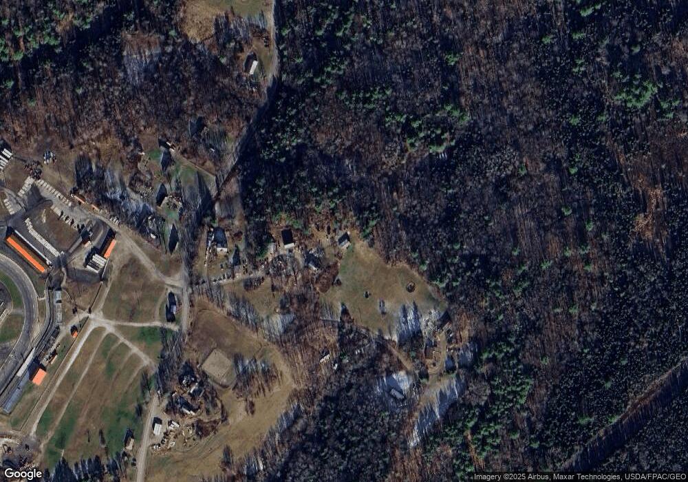
Map
Nearby Homes
- R05-58A W Alna Rd
- 105 Old Sheepscot Rd
- 8 Foye Rd
- 10 Foye Rd
- 583 W Alna Rd
- 977 Alna Rd
- 611 W Alna Rd
- Lot # 0 Deer Ridge Rd
- Lot 9 Foye Rd
- Lot 11 Spruce Knoll Rd
- 3 Langdon Rd
- 22 Sand Hill Rd
- 467 Lowelltown Rd
- Lot 15&40 Gibbs Rd
- 12 Micmac Dr
- Lot#4 Bay View Trail
- 18 Churchill St
- 18 High St
- 200 Main St
- Lot #3 Bay View Trail