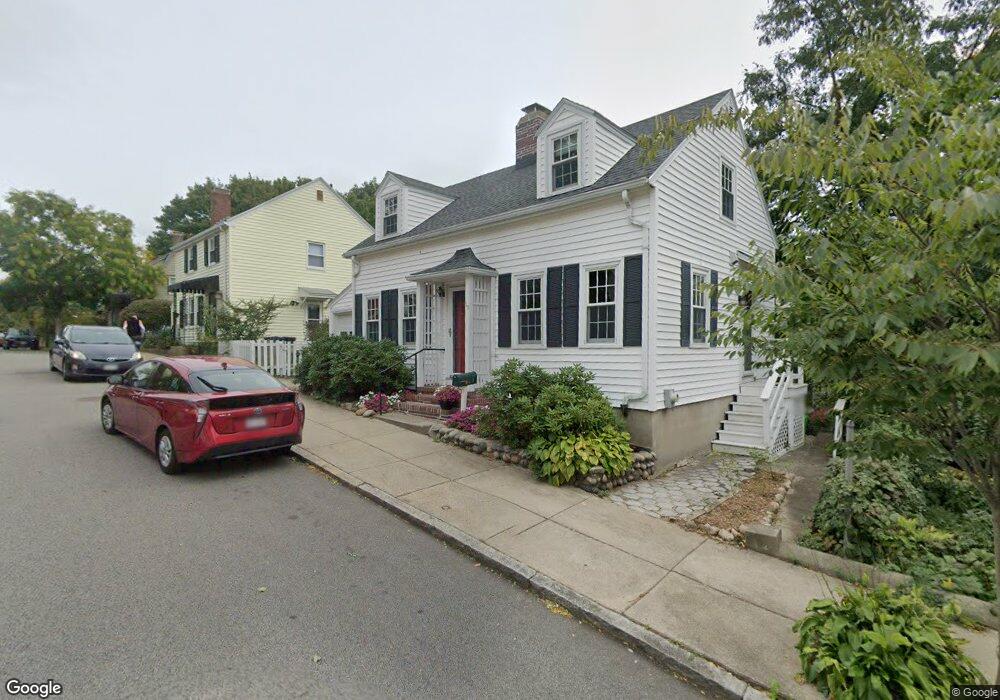
19 Bournedale Rd Jamaica Plain, MA 02130
Jamaica Plain NeighborhoodEstimated Value: $710,000 - $771,000
3
Beds
2
Baths
1,122
Sq Ft
$666/Sq Ft
Est. Value
About This Home
This home is located at 19 Bournedale Rd, Jamaica Plain, MA 02130 and is currently estimated at $746,882, approximately $665 per square foot. 19 Bournedale Rd is a home located in Suffolk County with nearby schools including Brooke Charter School Roslindale, The Croft School - Jamaica Plain, and St. Clare High School.
Ownership History
Date
Name
Owned For
Owner Type
Purchase Details
Closed on
Aug 6, 1999
Sold by
Eastman Mary C
Bought by
Nolan Mairead T
Current Estimated Value
Home Financials for this Owner
Home Financials are based on the most recent Mortgage that was taken out on this home.
Original Mortgage
$144,550
Outstanding Balance
$41,182
Interest Rate
7.54%
Mortgage Type
Purchase Money Mortgage
Estimated Equity
$705,700
Create a Home Valuation Report for This Property
The Home Valuation Report is an in-depth analysis detailing your home's value as well as a comparison with similar homes in the area
Home Values in the Area
Average Home Value in this Area
Purchase History
| Date | Buyer | Sale Price | Title Company |
|---|---|---|---|
| Nolan Mairead T | $180,700 | -- |
Source: Public Records
Mortgage History
| Date | Status | Borrower | Loan Amount |
|---|---|---|---|
| Open | Nolan Mairead T | $144,550 |
Source: Public Records
Tax History Compared to Growth
Tax History
| Year | Tax Paid | Tax Assessment Tax Assessment Total Assessment is a certain percentage of the fair market value that is determined by local assessors to be the total taxable value of land and additions on the property. | Land | Improvement |
|---|---|---|---|---|
| 2025 | $7,181 | $620,100 | $187,200 | $432,900 |
| 2024 | $7,310 | $670,600 | $183,900 | $486,700 |
| 2023 | $6,729 | $626,500 | $171,800 | $454,700 |
| 2022 | $6,253 | $574,700 | $157,600 | $417,100 |
| 2021 | $5,953 | $557,900 | $153,000 | $404,900 |
| 2020 | $4,880 | $462,100 | $149,300 | $312,800 |
| 2019 | $4,641 | $440,300 | $124,100 | $316,200 |
| 2018 | $4,119 | $393,000 | $124,100 | $268,900 |
| 2017 | $4,082 | $385,500 | $124,100 | $261,400 |
| 2016 | $4,157 | $377,900 | $124,100 | $253,800 |
| 2015 | $4,010 | $331,100 | $118,200 | $212,900 |
| 2014 | $3,647 | $289,900 | $118,200 | $171,700 |
Source: Public Records
Map
Nearby Homes
- 18-20 Northbourne Rd Unit 18
- 50 Southbourne Rd
- 31 Rodman St Unit 2
- 31 Rodman St Unit 1
- 348-350 Hyde Park Ave Unit 2
- 158 Wachusett St Unit 3
- 140 Wachusett St
- 178 Hyde Park Ave Unit 3
- 19 Delford St
- 19 Delford St Unit 1
- 4012 Washington St
- 71 Wyvern St
- 143-171 Hyde Park Ave Unit 169A
- 36 Neponset Ave Unit 1
- 24 Waterman Rd
- 4031 Washington St
- 105 Neponset Ave Unit 105
- 103 Neponset Ave Unit 103A
- 103-105 Neponset Ave
- 620 South St
- 62 Southbourne Rd
- 23 Bournedale Rd
- 64 Southbourne Rd
- 66 Southbourne Rd
- 66 Southbourne Rd Unit 66
- 24 Bournedale Rd
- 60 Southbourne Rd
- 68 Southbourne Rd
- 68 Southbourne Rd Unit 9999
- 26 Bournedale Rd
- 9 Bournedale Rd
- 27 Bournedale Rd
- 14 Bournedale Rd
- 70 Southbourne Rd
- 58 Southbourne Rd
- 44 Southbourne Rd
- 44 Southbourne Rd
- 44 Southbourne Rd Unit 1
- 28 Bournedale Rd
- 35 Northbourne Rd