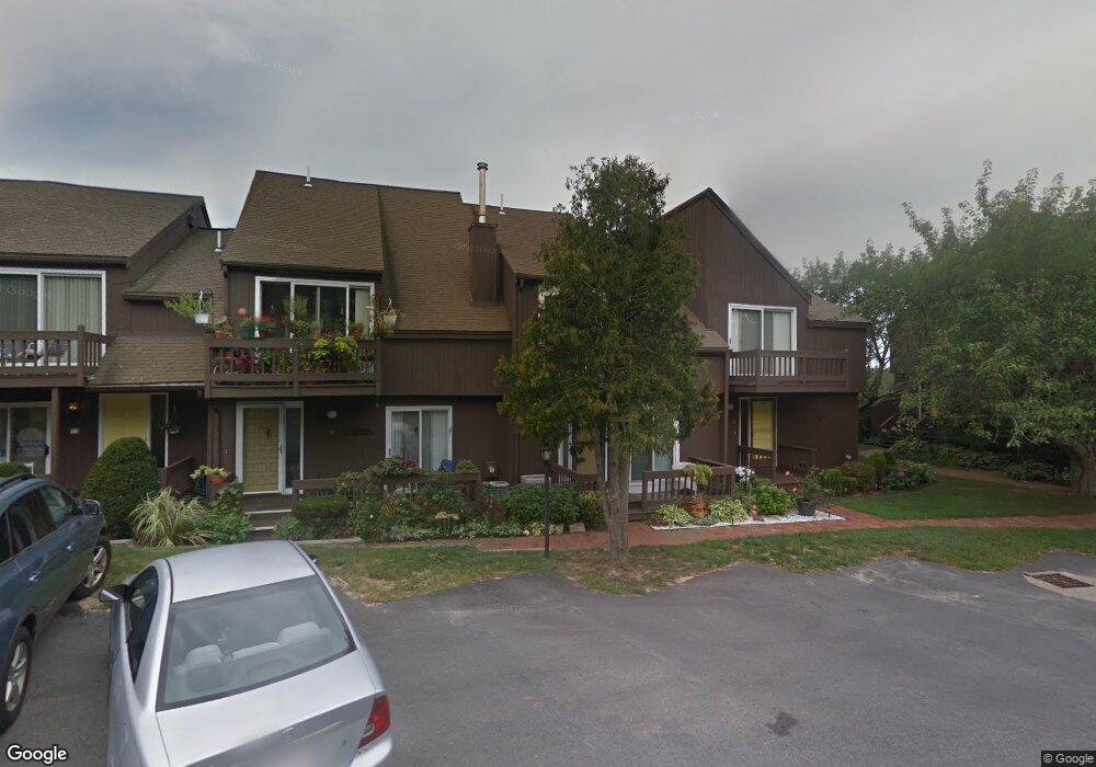
19 Bowsprit Ln Bourne, MA 2532
Estimated Value: $462,000 - $512,470
2
Beds
2
Baths
2,228
Sq Ft
$218/Sq Ft
Est. Value
About This Home
This home is located at 19 Bowsprit Ln, Bourne, MA 2532 and is currently estimated at $485,868, approximately $218 per square foot. 19 Bowsprit Ln is a home located in Barnstable County with nearby schools including Bourne High School, St Margaret Regional School, and Bridgeview Montessori School.
Ownership History
Date
Name
Owned For
Owner Type
Purchase Details
Closed on
Dec 1, 2000
Sold by
Mcentee Dolores
Bought by
Carleen Priscilla
Current Estimated Value
Home Financials for this Owner
Home Financials are based on the most recent Mortgage that was taken out on this home.
Original Mortgage
$129,600
Outstanding Balance
$47,965
Interest Rate
7.76%
Mortgage Type
Purchase Money Mortgage
Estimated Equity
$437,903
Purchase Details
Closed on
Oct 29, 1996
Sold by
Thorbahn John R
Bought by
Mcentee Dolores
Create a Home Valuation Report for This Property
The Home Valuation Report is an in-depth analysis detailing your home's value as well as a comparison with similar homes in the area
Home Values in the Area
Average Home Value in this Area
Purchase History
| Date | Buyer | Sale Price | Title Company |
|---|---|---|---|
| Carleen Priscilla | $144,000 | -- | |
| Mcentee Dolores | $68,000 | -- |
Source: Public Records
Mortgage History
| Date | Status | Borrower | Loan Amount |
|---|---|---|---|
| Open | Carleen Priscilla | $129,600 |
Source: Public Records
Tax History Compared to Growth
Tax History
| Year | Tax Paid | Tax Assessment Tax Assessment Total Assessment is a certain percentage of the fair market value that is determined by local assessors to be the total taxable value of land and additions on the property. | Land | Improvement |
|---|---|---|---|---|
| 2025 | $3,126 | $400,200 | $0 | $400,200 |
| 2024 | $2,716 | $338,600 | $0 | $338,600 |
| 2023 | $2,640 | $299,700 | $0 | $299,700 |
| 2022 | $2,585 | $256,200 | $0 | $256,200 |
| 2021 | $2,317 | $215,100 | $0 | $215,100 |
| 2020 | $1,699 | $158,200 | $0 | $158,200 |
| 2019 | $1,682 | $160,000 | $0 | $160,000 |
| 2018 | $1,706 | $161,900 | $0 | $161,900 |
| 2017 | $1,735 | $168,400 | $0 | $168,400 |
| 2016 | $1,959 | $192,800 | $0 | $192,800 |
| 2015 | $1,817 | $180,400 | $0 | $180,400 |
Source: Public Records
Map
Nearby Homes
- 24 Ships View Terrace
- 27 Ships View Terrace
- 4 Mainstay Ln
- 29 Weather Deck Rd
- 7 Mizzen Ln
- 90-92 Sandwich Rd Unit 9C
- 90-92 Sandwich Rd Unit 2
- 60 Sandwich Rd
- 38 Old Bridge Rd
- 304 Main St
- 44 Cotuit Rd
- 85 Waterhouse Rd
- 85 Waterhouse Rd
- 23 Settlers Way
- 405 Village Dr
- 405 Village Dr Unit 405
- 14 Great Rock Rd
- 18 Heather Hill Rd
- 4 Knob Ln
- 1 Hollyhock Knoll Ct Unit 1
- 57 Harbor Lights Rd Unit 57
- 60 Harbor Lights Rd
- 58 Harbor Lights Rd
- 57 Harbor Lights Rd
- 55 Harbor Lights Rd
- 57 Harbor Lights Ave
- 57 Harbor Lights Ave Unit c57
- 60 Harbor Lights Ave Unit 60
- 55 Harbor Lights Ave Unit 55
- 60 Harbor Lights Rd Unit 60
- 58 Harbor Lights Rd Unit C58
- 58 Harbor Lights Rd Unit C58
- 58 Harbor Lights Rd Unit C
- 60 Harbor Lights Rd
- 57 Harbor Lights Rd
- 55 Harbor Lights Rd
- 58 Harbor Lights Rd
- 16 Bowsprit Ln
- 20 Bowsprit Ln
- 11 Bowsprit Ln