19 Boysenberry Dr Westport, MA 02790
Booth/Handy Four Corners NeighborhoodEstimated Value: $398,000 - $524,000
2
Beds
3
Baths
960
Sq Ft
$483/Sq Ft
Est. Value
About This Home
This home is located at 19 Boysenberry Dr, Westport, MA 02790 and is currently estimated at $463,790, approximately $483 per square foot. 19 Boysenberry Dr is a home located in Bristol County with nearby schools including Alice A. Macomber Primary School, Westport Elementary School, and Westport Middle-High School.
Ownership History
Date
Name
Owned For
Owner Type
Purchase Details
Closed on
Jun 18, 1999
Sold by
Sulilvan Michael W and Sullivan Claire L
Bought by
Rivard Gerald C and Rivard Jeanne Marie
Current Estimated Value
Home Financials for this Owner
Home Financials are based on the most recent Mortgage that was taken out on this home.
Original Mortgage
$126,450
Interest Rate
6.99%
Mortgage Type
Purchase Money Mortgage
Create a Home Valuation Report for This Property
The Home Valuation Report is an in-depth analysis detailing your home's value as well as a comparison with similar homes in the area
Home Values in the Area
Average Home Value in this Area
Purchase History
| Date | Buyer | Sale Price | Title Company |
|---|---|---|---|
| Rivard Gerald C | $124,000 | -- |
Source: Public Records
Mortgage History
| Date | Status | Borrower | Loan Amount |
|---|---|---|---|
| Open | Rivard Gerald C | $118,500 | |
| Closed | Rivard Gerald C | $126,450 |
Source: Public Records
Tax History Compared to Growth
Tax History
| Year | Tax Paid | Tax Assessment Tax Assessment Total Assessment is a certain percentage of the fair market value that is determined by local assessors to be the total taxable value of land and additions on the property. | Land | Improvement |
|---|---|---|---|---|
| 2025 | $2,623 | $352,100 | $183,800 | $168,300 |
| 2024 | $2,599 | $336,200 | $170,200 | $166,000 |
| 2023 | $2,414 | $295,800 | $143,400 | $152,400 |
| 2022 | $2,314 | $272,900 | $143,400 | $129,500 |
| 2021 | $2,240 | $259,900 | $130,400 | $129,500 |
| 2020 | $2,101 | $249,200 | $119,700 | $129,500 |
| 2019 | $1,967 | $237,800 | $108,900 | $128,900 |
| 2018 | $7,840 | $235,800 | $121,600 | $114,200 |
| 2017 | $1,879 | $235,800 | $124,000 | $111,800 |
| 2016 | $1,819 | $230,000 | $128,600 | $101,400 |
| 2015 | $1,754 | $221,200 | $131,000 | $90,200 |
Source: Public Records
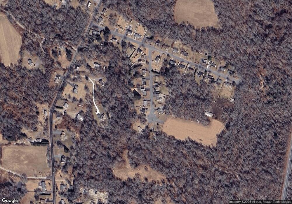
Map
Nearby Homes
- 8 Strawberry Ln
- 118 Charlotte White Rd Extension
- 0 Hidden Glen Ln
- 7 Village Way
- 15 Village Way
- 8 Village Way
- 118 Charlotte White Rd
- 837 Main Rd
- Lot 0 Marcotte
- 978 Sodom Rd
- 101 Adamsville Rd
- 920 Drift Rd
- 47 Fallon Dr
- 225 Hixbridge Rd
- 4 Main Rd
- 6 Angel Ct
- 73 White Oak Run
- 308 Robert St
- 218 American Legion Hwy
- 1346 Main Rd Unit B
- 23 Boysenberry Dr
- 15 Boysenberry Dr
- 28 Boysenberry Dr
- 18 Boysenberry Dr
- 11 Boysenberry Dr
- 14 Boysenberry Dr
- 27 Boysenberry Dr
- 10 Boysenberry Dr
- 7 Boysenberry Dr
- 33 Boysenberry Dr
- 3 Boysenberry Dr
- 1 Boysenberry Dr
- 31 Holly Ln
- 35 Holly Ln
- 5 Songbird Ln
- 542 Main Rd
- 39 Holly Ln
- 17 Holly Ln
- 43 Holly Ln
- 13 Holly Ln