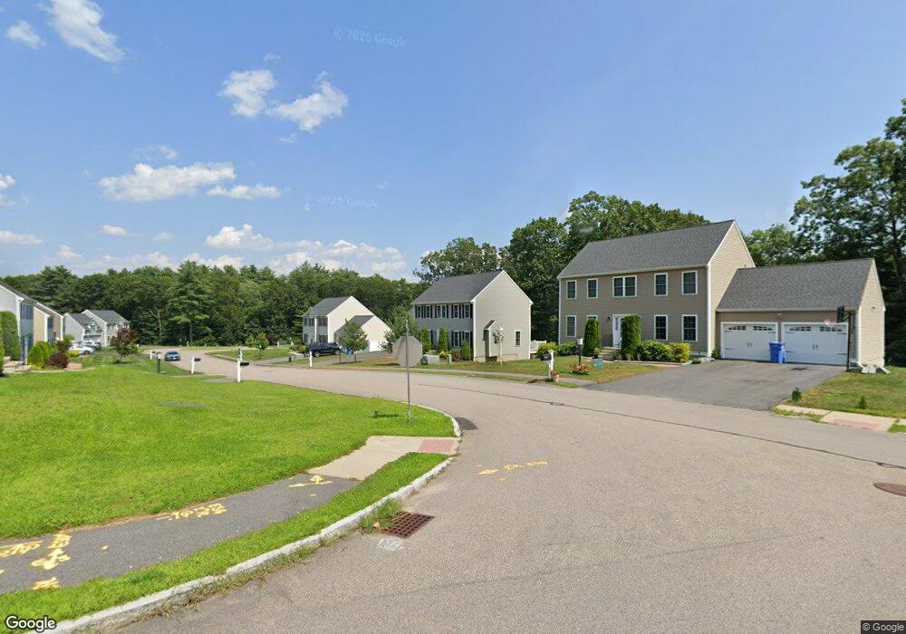
19 Brackett Ln Stoughton, MA 02072
Estimated Value: $753,980 - $863,000
4
Beds
3
Baths
1,872
Sq Ft
$435/Sq Ft
Est. Value
About This Home
This home is located at 19 Brackett Ln, Stoughton, MA 02072 and is currently estimated at $815,245, approximately $435 per square foot. 19 Brackett Ln is a home located in Norfolk County with nearby schools including South Elementary School, O'Donnell Middle School, and Stoughton High School.
Ownership History
Date
Name
Owned For
Owner Type
Purchase Details
Closed on
Apr 29, 2013
Sold by
Villages Goddard Hlnd and Schneider
Bought by
Ly Bang and Hong Thao
Current Estimated Value
Home Financials for this Owner
Home Financials are based on the most recent Mortgage that was taken out on this home.
Original Mortgage
$327,920
Outstanding Balance
$232,450
Interest Rate
3.64%
Mortgage Type
New Conventional
Estimated Equity
$582,795
Create a Home Valuation Report for This Property
The Home Valuation Report is an in-depth analysis detailing your home's value as well as a comparison with similar homes in the area
Home Values in the Area
Average Home Value in this Area
Purchase History
| Date | Buyer | Sale Price | Title Company |
|---|---|---|---|
| Ly Bang | $409,900 | -- | |
| Ly Bang | $409,900 | -- | |
| Ly Bang | $409,900 | -- |
Source: Public Records
Mortgage History
| Date | Status | Borrower | Loan Amount |
|---|---|---|---|
| Open | Ly Bang | $327,920 | |
| Closed | Ly Bang | $327,920 |
Source: Public Records
Tax History
| Year | Tax Paid | Tax Assessment Tax Assessment Total Assessment is a certain percentage of the fair market value that is determined by local assessors to be the total taxable value of land and additions on the property. | Land | Improvement |
|---|---|---|---|---|
| 2025 | $8,535 | $689,400 | $214,800 | $474,600 |
| 2024 | $8,325 | $654,000 | $196,200 | $457,800 |
| 2023 | $8,209 | $605,800 | $179,300 | $426,500 |
| 2022 | $7,951 | $551,800 | $172,600 | $379,200 |
| 2021 | $7,562 | $500,800 | $152,300 | $348,500 |
| 2020 | $7,347 | $493,400 | $152,300 | $341,100 |
| 2019 | $7,135 | $465,100 | $152,300 | $312,800 |
| 2018 | $6,438 | $434,700 | $148,900 | $285,800 |
| 2017 | $6,203 | $428,100 | $147,200 | $280,900 |
| 2016 | $6,043 | $403,700 | $138,700 | $265,000 |
| 2015 | $5,981 | $395,300 | $130,300 | $265,000 |
| 2014 | $5,855 | $372,000 | $118,400 | $253,600 |
Source: Public Records
Map
Nearby Homes
- 0 Atkinson Ave
- 20 Washington St Unit 1-8
- 110 Union St
- 86 Union St
- 511 Sumner St
- 23 Winterberry Ln
- Lot 1 Winterberry Ln
- LOT 4 Winterberry Ln
- Lot 2 Winterberry Ln
- 434 Sumner St
- 96 Winterberry Ln
- 95 Union St
- 882 Park St
- 44 Reservoir St Unit 52
- 15 First St
- 23 Arborway
- Lot 3 Lawler Ln
- 93 Palisades Cir
- 102 Alandale Ave
- 990 Pleasant St
Your Personal Tour Guide
Ask me questions while you tour the home.