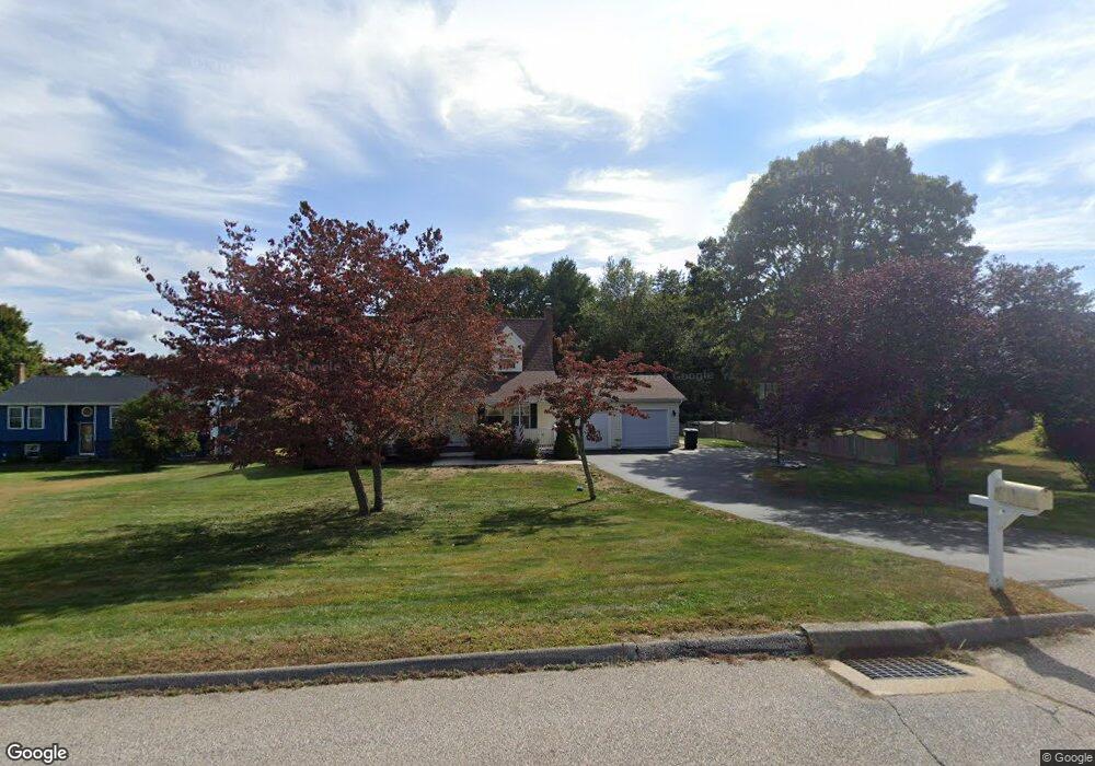
19 Brian Blvd Uncasville, CT 06382
Estimated Value: $403,212 - $452,000
4
Beds
3
Baths
1,638
Sq Ft
$265/Sq Ft
Est. Value
About This Home
This home is located at 19 Brian Blvd, Uncasville, CT 06382 and is currently estimated at $433,553, approximately $264 per square foot. 19 Brian Blvd is a home located in New London County with nearby schools including Leonard J. Tyl Middle School, Montville High School, and Mayflower Montessori School.
Ownership History
Date
Name
Owned For
Owner Type
Purchase Details
Closed on
May 7, 2001
Sold by
Richards Jerry
Bought by
Beckwith Jeffrey and Beckwith Mary
Current Estimated Value
Home Financials for this Owner
Home Financials are based on the most recent Mortgage that was taken out on this home.
Original Mortgage
$140,000
Interest Rate
6.85%
Purchase Details
Closed on
Feb 10, 1999
Sold by
Pine Trace Inc
Bought by
Richards Jerry O
Create a Home Valuation Report for This Property
The Home Valuation Report is an in-depth analysis detailing your home's value as well as a comparison with similar homes in the area
Home Values in the Area
Average Home Value in this Area
Purchase History
| Date | Buyer | Sale Price | Title Company |
|---|---|---|---|
| Beckwith Jeffrey | $175,000 | -- | |
| Beckwith Jeffrey | $175,000 | -- | |
| Richards Jerry O | $139,000 | -- | |
| Richards Jerry O | $139,000 | -- |
Source: Public Records
Mortgage History
| Date | Status | Borrower | Loan Amount |
|---|---|---|---|
| Open | Richards Jerry O | $191,000 | |
| Closed | Richards Jerry O | $145,000 | |
| Closed | Richards Jerry O | $140,000 |
Source: Public Records
Tax History
| Year | Tax Paid | Tax Assessment Tax Assessment Total Assessment is a certain percentage of the fair market value that is determined by local assessors to be the total taxable value of land and additions on the property. | Land | Improvement |
|---|---|---|---|---|
| 2025 | $5,713 | $197,890 | $31,640 | $166,250 |
| 2024 | $5,495 | $197,890 | $31,640 | $166,250 |
| 2023 | $5,495 | $197,890 | $31,640 | $166,250 |
| 2022 | $5,286 | $197,890 | $31,640 | $166,250 |
| 2021 | $5,070 | $159,700 | $33,450 | $126,250 |
| 2020 | $5,171 | $159,700 | $33,450 | $126,250 |
| 2019 | $5,192 | $159,700 | $33,450 | $126,250 |
| 2018 | $5,067 | $159,700 | $33,450 | $126,250 |
| 2017 | $5,062 | $159,700 | $33,450 | $126,250 |
| 2016 | $5,199 | $169,860 | $42,990 | $126,870 |
| 2015 | $5,199 | $169,860 | $42,990 | $126,870 |
| 2014 | $4,989 | $169,860 | $42,990 | $126,870 |
Source: Public Records
Map
Nearby Homes
- 6 Riched Ln
- 165 Massapeag Rd
- 107 Woodland Dr Unit B
- 51 Dydo Dr
- 15 Park Avenue Extension
- 168 Kitemaug Rd
- 4 Millaras Dr
- 87 Fort Shantok Rd
- 61 Fort Shantok Rd
- 0 Clarks Falls Unit 24089817
- 24 Porach Rd
- 15 Pollys Ln
- 1637 Connecticut 12
- 11 Blumenthal Dr
- 43 Drawbridge Rd
- 32 Cedar Ln
- 31 Bridge St
- 1918 Route 12
- 355 Route 163
- 4 N Glenwoods Rd
Your Personal Tour Guide
Ask me questions while you tour the home.