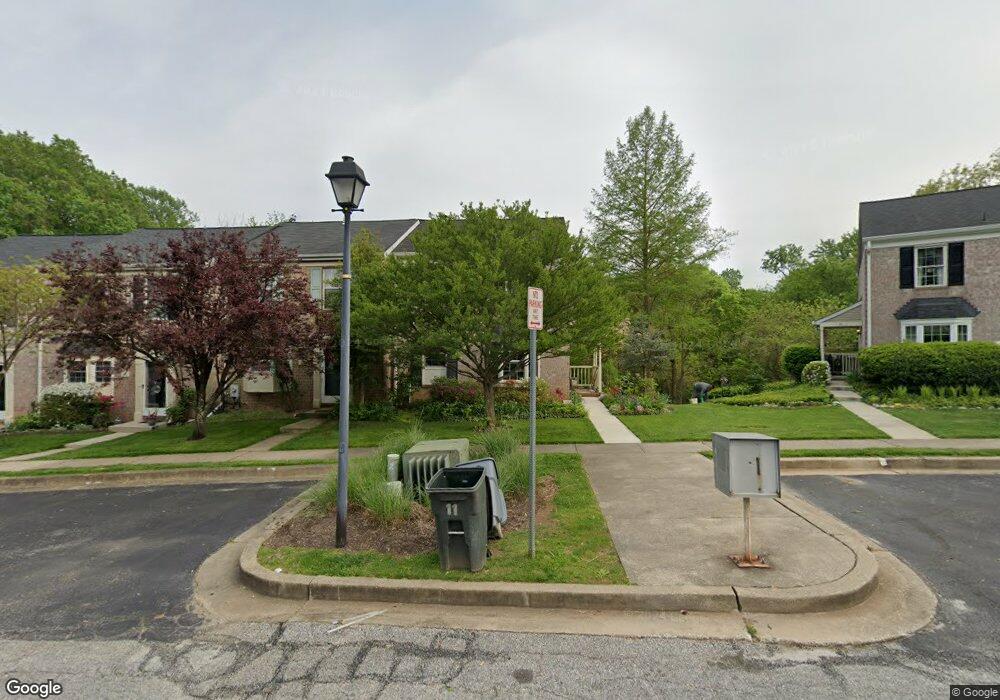
19 Bryans Mill Way Catonsville, MD 21228
Estimated Value: $411,999 - $474,000
--
Bed
3
Baths
1,408
Sq Ft
$313/Sq Ft
Est. Value
About This Home
This home is located at 19 Bryans Mill Way, Catonsville, MD 21228 and is currently estimated at $440,500, approximately $312 per square foot. 19 Bryans Mill Way is a home located in Baltimore County with nearby schools including Westchester Elementary School, Catonsville Middle School, and Catonsville High School.
Ownership History
Date
Name
Owned For
Owner Type
Purchase Details
Closed on
Feb 21, 1995
Sold by
Neslund David B
Bought by
Broderick Leigh T
Current Estimated Value
Home Financials for this Owner
Home Financials are based on the most recent Mortgage that was taken out on this home.
Original Mortgage
$67,500
Interest Rate
9.19%
Purchase Details
Closed on
Oct 31, 1988
Sold by
Fisher James Rankin
Bought by
Neslund David B
Create a Home Valuation Report for This Property
The Home Valuation Report is an in-depth analysis detailing your home's value as well as a comparison with similar homes in the area
Home Values in the Area
Average Home Value in this Area
Purchase History
| Date | Buyer | Sale Price | Title Company |
|---|---|---|---|
| Broderick Leigh T | $133,000 | -- | |
| Neslund David B | $118,000 | -- |
Source: Public Records
Mortgage History
| Date | Status | Borrower | Loan Amount |
|---|---|---|---|
| Closed | Broderick Leigh T | $67,500 |
Source: Public Records
Tax History Compared to Growth
Tax History
| Year | Tax Paid | Tax Assessment Tax Assessment Total Assessment is a certain percentage of the fair market value that is determined by local assessors to be the total taxable value of land and additions on the property. | Land | Improvement |
|---|---|---|---|---|
| 2025 | $4,530 | $359,133 | -- | -- |
| 2024 | $4,530 | $340,500 | $105,000 | $235,500 |
| 2023 | $2,262 | $330,233 | $0 | $0 |
| 2022 | $4,354 | $319,967 | $0 | $0 |
| 2021 | $4,018 | $309,700 | $105,000 | $204,700 |
| 2020 | $4,018 | $303,233 | $0 | $0 |
| 2019 | $3,844 | $296,767 | $0 | $0 |
| 2018 | $3,691 | $290,300 | $69,700 | $220,600 |
| 2017 | $3,503 | $277,533 | $0 | $0 |
| 2016 | $2,822 | $264,767 | $0 | $0 |
| 2015 | $2,822 | $252,000 | $0 | $0 |
| 2014 | $2,822 | $252,000 | $0 | $0 |
Source: Public Records
Map
Nearby Homes
- 2621 Westchester Ave
- 720 Mary Jo Way
- 311 Radstock Rd
- 19 Clay Lodge Ln Unit 104
- 8260 Stone Crop Dr Unit E
- 11 Clay Lodge Ln Unit 204
- 8135 Cyprus Cedar Ln Unit K
- 8115 Yellow Pine Dr Unit L
- 8125 Hickory High Ct Unit L
- 231 Gralan Rd
- 8412 Merryman St
- 2310 Rockwell Ave
- 302 Wessling Cir
- 4425 Prancing Deer Dr
- 3598 Fels Ln
- 2305 Rockwell Ave
- 2110 Edmondson Ave
- 9794 Blue Ivy Way
- 3646 Fels Ln
- 8483 Frederick Rd
- 17 Bryans Mill Way
- 21 Bryans Mill Way
- 15 Bryans Mill Way
- 13 Bryans Mill Way
- 23 Bryans Mill Way
- 11 Bryans Mill Way
- 25 Bryans Mill Way
- 9 Bryans Mill Way
- 27 Bryans Mill Way
- 7 Bryans Mill Way
- 29 Bryans Mill Way
- 5 Bryans Mill Way
- 31 Bryans Mill Way
- 3 Bryans Mill Way
- 33 Bryans Mill Way
- 16 Bryans Mill Way
- 18 Bryans Mill Way
- 14 Bryans Mill Way
- 12 Bryans Mill Way
- 22 Bryans Mill Way