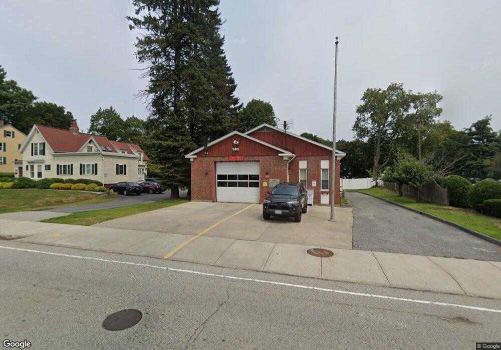
19 Burncoat St Worcester, MA 01605
Brittan Square Neighborhood
--
Bed
3
Baths
2,715
Sq Ft
7,492
Sq Ft Lot
About This Home
This home is located at 19 Burncoat St, Worcester, MA 01605. 19 Burncoat St is a home located in Worcester County with nearby schools including Jacob Hiatt Magnet School, Chandler Magnet, and Wawecus Road School.
Create a Home Valuation Report for This Property
The Home Valuation Report is an in-depth analysis detailing your home's value as well as a comparison with similar homes in the area
Home Values in the Area
Average Home Value in this Area
Tax History Compared to Growth
Tax History
| Year | Tax Paid | Tax Assessment Tax Assessment Total Assessment is a certain percentage of the fair market value that is determined by local assessors to be the total taxable value of land and additions on the property. | Land | Improvement |
|---|---|---|---|---|
| 2025 | -- | $524,600 | $157,500 | $367,100 |
| 2024 | -- | $524,600 | $157,500 | $367,100 |
| 2023 | $0 | $449,200 | $104,400 | $344,800 |
| 2022 | $0 | $449,200 | $104,400 | $344,800 |
| 2021 | $0 | $404,600 | $104,400 | $300,200 |
| 2020 | $0 | $416,900 | $104,400 | $312,500 |
| 2019 | $0 | $414,400 | $101,700 | $312,700 |
| 2018 | $0 | $414,500 | $101,700 | $312,800 |
| 2017 | $0 | $414,600 | $101,700 | $312,900 |
| 2016 | -- | $387,800 | $89,600 | $298,200 |
| 2015 | -- | $387,900 | $89,600 | $298,300 |
| 2014 | -- | $388,000 | $89,600 | $298,400 |
Source: Public Records
Map
Nearby Homes
- 3 Selden St
- 2 Selden St
- 23 Ashton St
- 33 Denmark St
- 19 Mckinley Rd
- 37 Kenwood Ave
- 65 Paine St
- 78 Green Hill Pkwy
- 74 Green Hill Pkwy
- 82 Green Hill Pkwy
- 176 Lincoln St Unit 4
- 26 Orne St
- 44 Westminster St
- 55 Channing St
- 41 Westminster St
- 9 Green Hill Ave
- 139 Lincoln St
- 63 North St Unit A
- 63 North St Unit B
- 45 Goldthwaite Rd
- 17 Burncoat St
- 23 Burncoat St
- 23 Burncoat St Unit 1
- 23 Burncoat St Unit 1 A
- 23 Burncoat St Unit 2
- 5 Frothingham Rd
- 3 Frothingham Rd
- 7 Frothingham Rd
- 16 Burncoat St
- 12 Burncoat St
- 11 Frothingham Rd
- 18 Burncoat St
- 22 Burncoat St
- 00 Shaffner St
- 6 Melville St
- 4 Melville St Unit 4
- 26 Burncoat St
- 1 Melville St
- 1 Melville St
- 8 Melville St