19 Burning Tree Rd Newport Beach, CA 92660
Big Canyon NeighborhoodEstimated Value: $6,782,000 - $13,514,304
4
Beds
3
Baths
9,655
Sq Ft
$962/Sq Ft
Est. Value
About This Home
This home is located at 19 Burning Tree Rd, Newport Beach, CA 92660 and is currently estimated at $9,291,076, approximately $962 per square foot. 19 Burning Tree Rd is a home located in Orange County with nearby schools including Abraham Lincoln Elementary School, Corona del Mar Middle and High School, and Our Lady Queen Of Angels.
Ownership History
Date
Name
Owned For
Owner Type
Purchase Details
Closed on
Aug 13, 2014
Sold by
Shack H Michael
Bought by
Osgood Mark D and Osgood Deborah
Current Estimated Value
Create a Home Valuation Report for This Property
The Home Valuation Report is an in-depth analysis detailing your home's value as well as a comparison with similar homes in the area
Home Values in the Area
Average Home Value in this Area
Purchase History
| Date | Buyer | Sale Price | Title Company |
|---|---|---|---|
| Osgood Mark D | $2,827,000 | First American Title Company |
Source: Public Records
Tax History
| Year | Tax Paid | Tax Assessment Tax Assessment Total Assessment is a certain percentage of the fair market value that is determined by local assessors to be the total taxable value of land and additions on the property. | Land | Improvement |
|---|---|---|---|---|
| 2025 | $64,371 | $6,201,893 | $3,017,849 | $3,184,044 |
| 2024 | $64,371 | $6,080,288 | $2,958,676 | $3,121,612 |
| 2023 | $62,870 | $5,961,067 | $2,900,663 | $3,060,404 |
| 2022 | $61,836 | $5,844,184 | $2,843,787 | $3,000,397 |
| 2021 | $60,647 | $5,729,593 | $2,788,027 | $2,941,566 |
| 2020 | $60,066 | $5,670,844 | $2,759,440 | $2,911,404 |
| 2019 | $58,810 | $5,559,651 | $2,705,333 | $2,854,318 |
| 2018 | $57,633 | $5,450,639 | $2,652,288 | $2,798,351 |
| 2017 | $53,634 | $5,060,863 | $2,600,282 | $2,460,581 |
| 2016 | $36,112 | $3,407,594 | $2,549,297 | $858,297 |
| 2015 | $26,849 | $2,511,005 | $2,511,005 | $0 |
| 2014 | $12,194 | $1,135,078 | $714,797 | $420,281 |
Source: Public Records
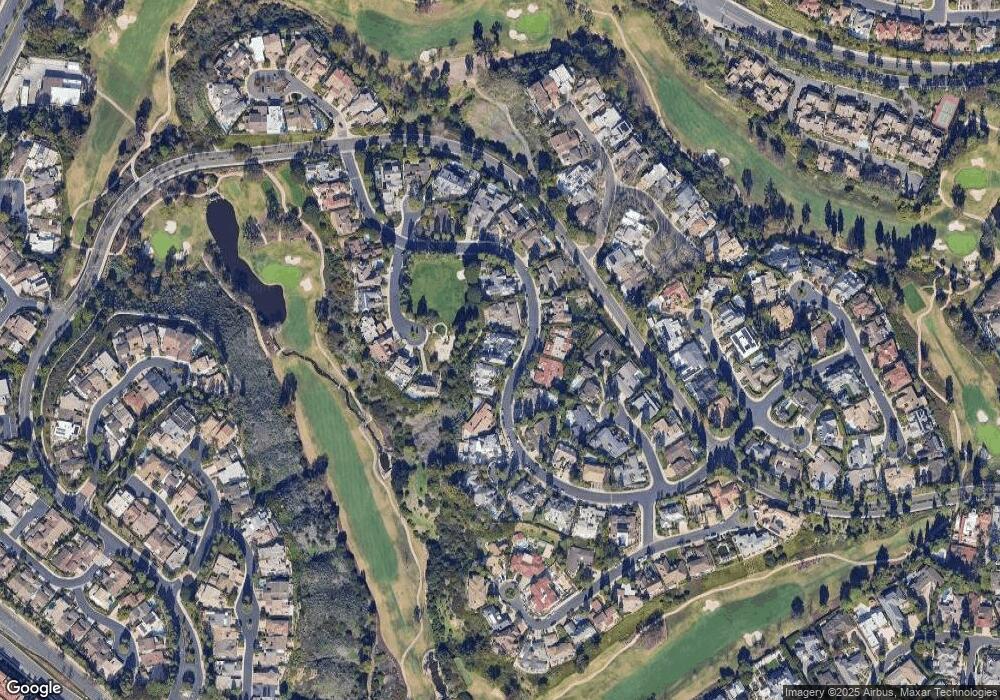
Map
Nearby Homes
- 4 Inverness Ln
- 22 Cherry Hills Ln
- 24 Canyon Island Dr
- 8 Cherry Hills Ln
- 52 Sea Pine Ln
- 14 Rue Chantilly
- 22 Rue Cannes
- 67 Sea Island Dr
- 2 Royal Saint George Rd
- 9 Rue Cannes
- 3 Rue Cannes
- 7 Oakmont Ln
- 56 Royal Saint George Rd
- 25 Rue Grand Ducal
- 38 Sea Island Dr
- 21 Lochmoor Ln
- 45 Northampton Ct
- 3 Weybridge Ct
- 909 Muirfield Dr
- 903 Muirfield Dr
- 21 Burning Tree Rd
- 17 Burning Tree Rd
- 22 Burning Tree Rd
- 24 Burning Tree Rd
- 20 Burning Tree Rd
- 11 Burning Tree Rd
- 23 Burning Tree Rd
- 1 Deerwood Ln
- 18 Burning Tree Rd
- 16 Burning Tree Rd
- 7 Winged Foot Ln
- 26 Burning Tree Rd
- 3 Deerwood Ln
- 25 Burning Tree Rd
- 10 Winged Foot Ln
- 5 Winged Foot Ln
- 14 Burning Tree Rd
- 5 Deerwood Ln
- 12 Burning Tree Rd
- 30 Burning Tree Rd
Your Personal Tour Guide
Ask me questions while you tour the home.