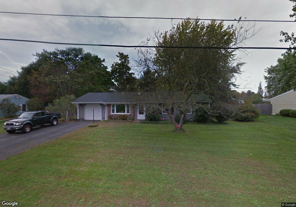
19 Burning Tree Rd Swansea, MA 02777
Luther Corner NeighborhoodEstimated Value: $447,404 - $479,000
3
Beds
1
Bath
1,176
Sq Ft
$394/Sq Ft
Est. Value
About This Home
This home is located at 19 Burning Tree Rd, Swansea, MA 02777 and is currently estimated at $463,101, approximately $393 per square foot. 19 Burning Tree Rd is a home located in Bristol County with nearby schools including Joseph Case High School, Highlander Charter Middle and High School, and East Bay Career Academy.
Ownership History
Date
Name
Owned For
Owner Type
Purchase Details
Closed on
Apr 20, 2017
Sold by
Casey Danielle L and Patalano Michelle A
Bought by
Chagnon Rebecca J and Chagnon Roland A
Current Estimated Value
Purchase Details
Closed on
Jul 27, 1977
Bought by
Chagnon Roland A and Chagnon Rebecca J
Create a Home Valuation Report for This Property
The Home Valuation Report is an in-depth analysis detailing your home's value as well as a comparison with similar homes in the area
Home Values in the Area
Average Home Value in this Area
Purchase History
| Date | Buyer | Sale Price | Title Company |
|---|---|---|---|
| Chagnon Rebecca J | -- | -- | |
| Chagnon Roland A | -- | -- |
Source: Public Records
Mortgage History
| Date | Status | Borrower | Loan Amount |
|---|---|---|---|
| Previous Owner | Chagnon Roland A | $88,500 | |
| Previous Owner | Chagnon Roland A | $73,400 | |
| Previous Owner | Chagnon Roland A | $40,900 |
Source: Public Records
Tax History Compared to Growth
Tax History
| Year | Tax Paid | Tax Assessment Tax Assessment Total Assessment is a certain percentage of the fair market value that is determined by local assessors to be the total taxable value of land and additions on the property. | Land | Improvement |
|---|---|---|---|---|
| 2025 | $3,946 | $331,000 | $148,000 | $183,000 |
| 2024 | $3,945 | $329,000 | $148,000 | $181,000 |
| 2023 | $3,737 | $284,600 | $108,600 | $176,000 |
| 2022 | $3,695 | $256,800 | $98,700 | $158,100 |
| 2021 | $3,451 | $220,800 | $98,700 | $122,100 |
| 2020 | $3,507 | $225,100 | $98,700 | $126,400 |
| 2019 | $3,324 | $214,300 | $87,900 | $126,400 |
| 2018 | $3,168 | $207,300 | $85,200 | $122,100 |
| 2017 | $2,753 | $207,300 | $85,200 | $122,100 |
| 2016 | $2,577 | $190,600 | $73,400 | $117,200 |
| 2015 | $2,348 | $178,800 | $73,400 | $105,400 |
| 2014 | $2,314 | $180,200 | $73,400 | $106,800 |
Source: Public Records
Map
Nearby Homes
- 147 Bushee Rd
- 46 Magnolia Dr
- 1405 Gar Hwy Unit A
- 192 Schoolhouse Rd
- 447 Old Warren Rd
- 0 Old Fall River Rd Unit 73399047
- 9 Kenny Dr
- 107 Walker St
- 17 Colonial Dr
- 107 & 107R Walker
- 510 Child St Unit 303A
- 510 Child St Unit 105B
- 510 Child St Unit 201C
- 510 Child St Unit 402B
- 510 Child St Unit 305B
- 24 Nod Rd
- 79 Cedar Ave
- 210 Metacom Ave
- 25 Asylum Rd
- 383 Vinnicum Rd
- 23 Burning Tree Rd
- 15 Burning Tree Rd
- 266 Bushee Rd
- LOT17 Shaylee Place
- LOT11 Emelia Ct
- LOT12 Emelia Ct
- 274 Bushee Rd
- 256 Bushee Rd
- 27 Burning Tree Rd
- 11 Smoke Rise Cir
- 16 Burning Tree Rd
- 18 Glenwood Dr
- 282 Bushee Rd
- 244 Bushee Rd
- 28 Burning Tree Rd
- 51 Smoke Rise Cir
- 31 Burning Tree Rd
- 24 Glenwood Dr
- 294 Bushee Rd
- 17 Glenwood Dr