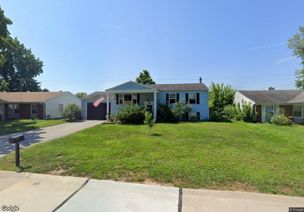
19 Calumet Dr Saint Peters, MO 63376
Estimated Value: $223,000 - $261,000
3
Beds
1
Bath
1,040
Sq Ft
$231/Sq Ft
Est. Value
About This Home
This home is located at 19 Calumet Dr, Saint Peters, MO 63376 and is currently estimated at $239,800, approximately $230 per square foot. 19 Calumet Dr is a home located in St. Charles County with nearby schools including Lewis & Clark Elementary School, Dr. Bernard J. Dubray Middle School, and Fort Zumwalt East High School.
Ownership History
Date
Name
Owned For
Owner Type
Purchase Details
Closed on
Mar 25, 2003
Sold by
Keller Samuel D and Keller Susan
Bought by
Copes John A and Copes Michelle D
Current Estimated Value
Home Financials for this Owner
Home Financials are based on the most recent Mortgage that was taken out on this home.
Original Mortgage
$115,586
Outstanding Balance
$49,509
Interest Rate
5.83%
Mortgage Type
FHA
Estimated Equity
$190,291
Purchase Details
Closed on
Jul 15, 2002
Sold by
Simpson Robert L and Simpson Tina M
Bought by
Keller Samuel D and Keller Susan
Purchase Details
Closed on
Dec 27, 1996
Sold by
Loges Sherry Lynn
Bought by
Simpson Robert L and Simpson Tina M
Home Financials for this Owner
Home Financials are based on the most recent Mortgage that was taken out on this home.
Original Mortgage
$61,963
Interest Rate
7.53%
Mortgage Type
FHA
Create a Home Valuation Report for This Property
The Home Valuation Report is an in-depth analysis detailing your home's value as well as a comparison with similar homes in the area
Home Values in the Area
Average Home Value in this Area
Purchase History
| Date | Buyer | Sale Price | Title Company |
|---|---|---|---|
| Copes John A | $116,500 | -- | |
| Keller Samuel D | -- | -- | |
| Simpson Robert L | -- | -- |
Source: Public Records
Mortgage History
| Date | Status | Borrower | Loan Amount |
|---|---|---|---|
| Open | Copes John A | $115,586 | |
| Previous Owner | Simpson Robert L | $61,963 |
Source: Public Records
Tax History Compared to Growth
Tax History
| Year | Tax Paid | Tax Assessment Tax Assessment Total Assessment is a certain percentage of the fair market value that is determined by local assessors to be the total taxable value of land and additions on the property. | Land | Improvement |
|---|---|---|---|---|
| 2025 | $2,135 | $36,900 | -- | -- |
| 2023 | $2,133 | $33,513 | $0 | $0 |
| 2022 | $2,045 | $29,887 | $0 | $0 |
| 2021 | $2,041 | $29,887 | $0 | $0 |
| 2020 | $1,810 | $25,559 | $0 | $0 |
| 2019 | $1,805 | $25,559 | $0 | $0 |
| 2018 | $1,753 | $23,742 | $0 | $0 |
| 2017 | $1,744 | $23,742 | $0 | $0 |
| 2016 | $1,621 | $22,003 | $0 | $0 |
| 2015 | $1,479 | $22,003 | $0 | $0 |
| 2014 | $1,398 | $20,359 | $0 | $0 |
Source: Public Records
Map
Nearby Homes
- 7418 Mexico Rd #100 Rd
- 7 Belmont Dr
- 568 Prairie Home Dr
- 1 Jamaica Dr
- 809 Estes Park Dr
- 406 S Church St Unit 128
- 20 Jamestown Dr
- 36 Jamestown Dr
- 763 Estes Park Dr
- 420 Cambridge Place Unit 2
- 426 Cambridge Place
- 20 Churchill Downs Dr
- 24 Saint David Dr
- 622 Settlers Cir
- 312 Crown Colony Ct Unit F
- 305 S Church St
- 138 Rhythm Point Dr
- 114 Peruque Creek Manor
- 100 Cardinal Villas Dr Unit 2A
- 412 Cardinal Commons Ct